

Epoxy
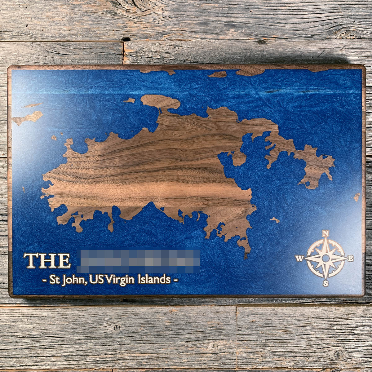
St John
US Virgin Islands, USA
Also known as St. John, Cruz Bay, Coral Bay
On November 23, 1733, enslaved Akwamu men carried weapons into the Danish fort at Coral Bay hidden in a delivery of firewood.
They took the fort and then most of the island. Enslaved people outnumbered Europeans on St John by roughly five to one, 1,087 against 206. The Danes could not retake it. Sixty British troops came over from Tortola, were ambushed as they landed, and went straight back.
One of the leaders was a woman the records call Breffu, enslaved on a plantation at Coral Bay. The rebellion held for about six months and ended after around 400 French soldiers arrived from Martinique in the spring of 1734. Breffu and 23 others killed themselves rather than be taken.
It was not a rebellion against slavery. The Akwamu intended to run the plantations themselves and keep other Africans enslaved, and other groups on the island did not join them. Some fought alongside the planters.
Details
- Feature
- Coastline
- Build
- Epoxy
- Material
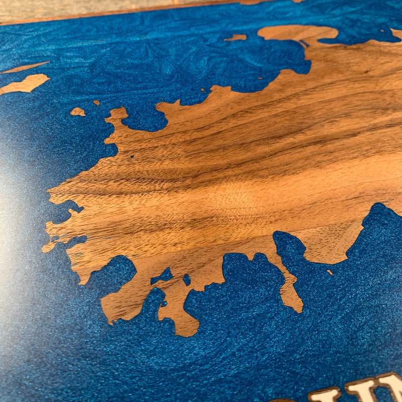
- Solid Walnut
- Colour
- Ocean Blue
- Size
- 10-1/2" x 16"
- Completed
- February 2025
How this one was made
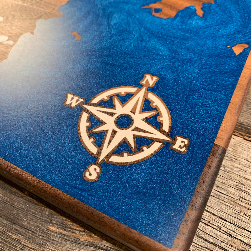
The compass and the lettering are white epoxy sitting inside the blue, and both are outlined so a thin line of bare walnut separates one color from the other. Those cavities are far too small to dam with our typical methods, so the white goes in first, syringed into each one by hand without letting it overflow the engraving. That cures before anything else happens. Then the board gets its perimeter dams and the blue goes down as a flood over the whole face, cured white included, and everything comes back level at the sanding stage. Blue runs off all four edges, so the entire perimeter is dammed.
Waypoints close by
 Coquina BeachBradenton Beach, Florida, USA
 Bethany BeachBethany Beach, Delaware, USA
 BellevueTalbot County, Maryland, USA
 Forgotten CoastPanhandle, Florida, USA
Also from our workshop
 Cascade
From
Cascade
From  Sanctuary
From
Sanctuary
From  Peak
From
Peak
From  Silver Fox
From
Silver Fox
From Where this is
18.3356, -64.7508