

Epoxy
North Wildwood
Cape May County, New Jersey, USA
Also known as Hereford Inlet, Five Mile Island, The Wildwoods, Cape May County
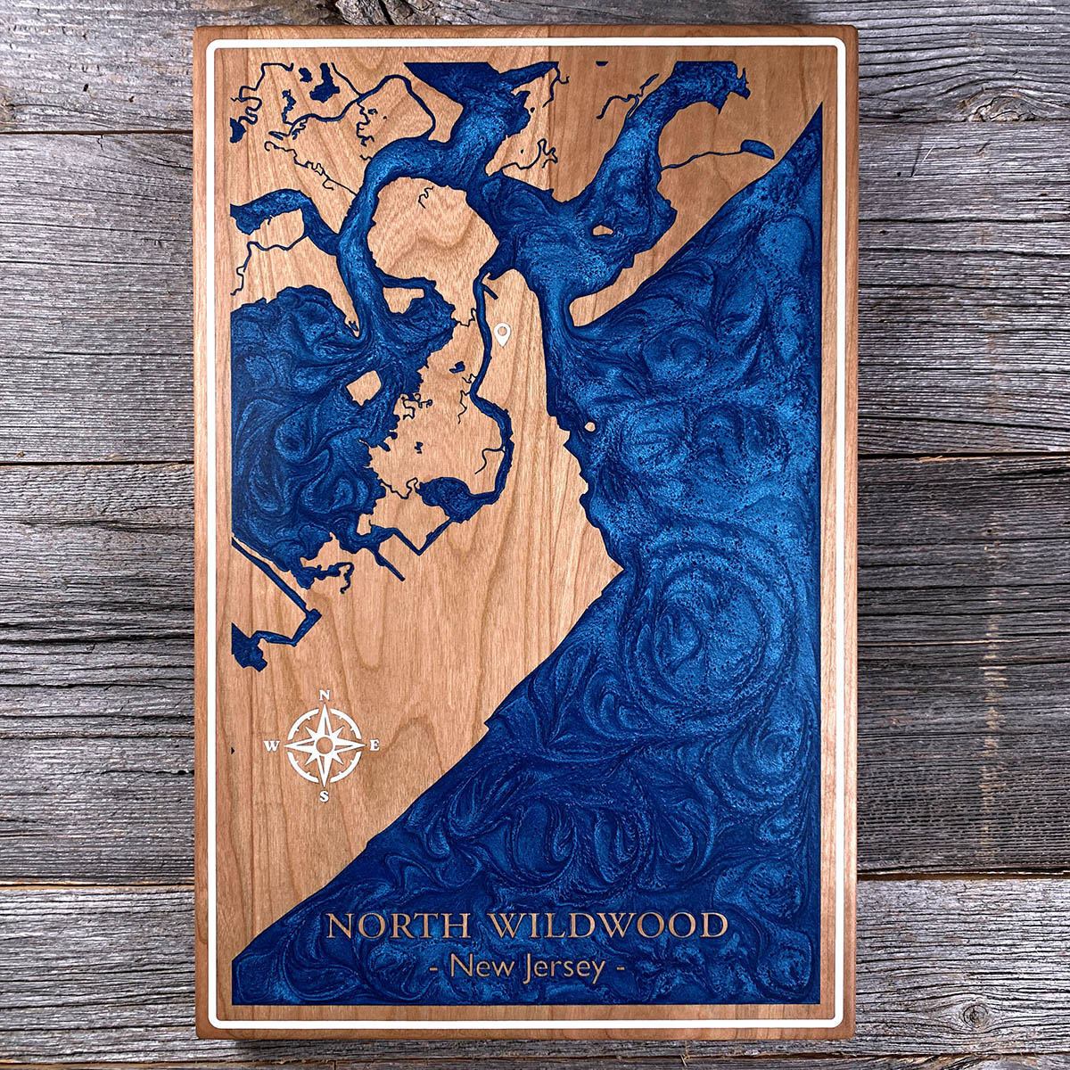
The widest beaches in New Jersey sit just south of here, and the sand used to be here.
North Wildwood once had the largest beach in the state. Longshore currents move sand down this island from north to south, and over several decades most of it migrated to Wildwood and Wildwood Crest, where the walk from boardwalk to water can pass a thousand feet at low tide. North Wildwood lost roughly the same distance in the last five to ten years. The city administrator has called it one of the most erosional points in New Jersey.
After Superstorm Sandy the Army Corps drew up a 54 million dollar plan to spread sand evenly across the whole island. The state cancelled it. According to New Jersey, the two towns to the south did not want to share.
The wide wedge on this board is the beach as it survives, tapering as it runs north toward Hereford Inlet.
Details
- Feature
- Coastline
- Build
- Epoxy
- Material
- Solid Cherry
- Colour
- Ocean Blue
- Size
- 10-1/2" x 16"
- Completed
- May 2025
How this one was made
Cherry, inset, with a white border running the full perimeter.
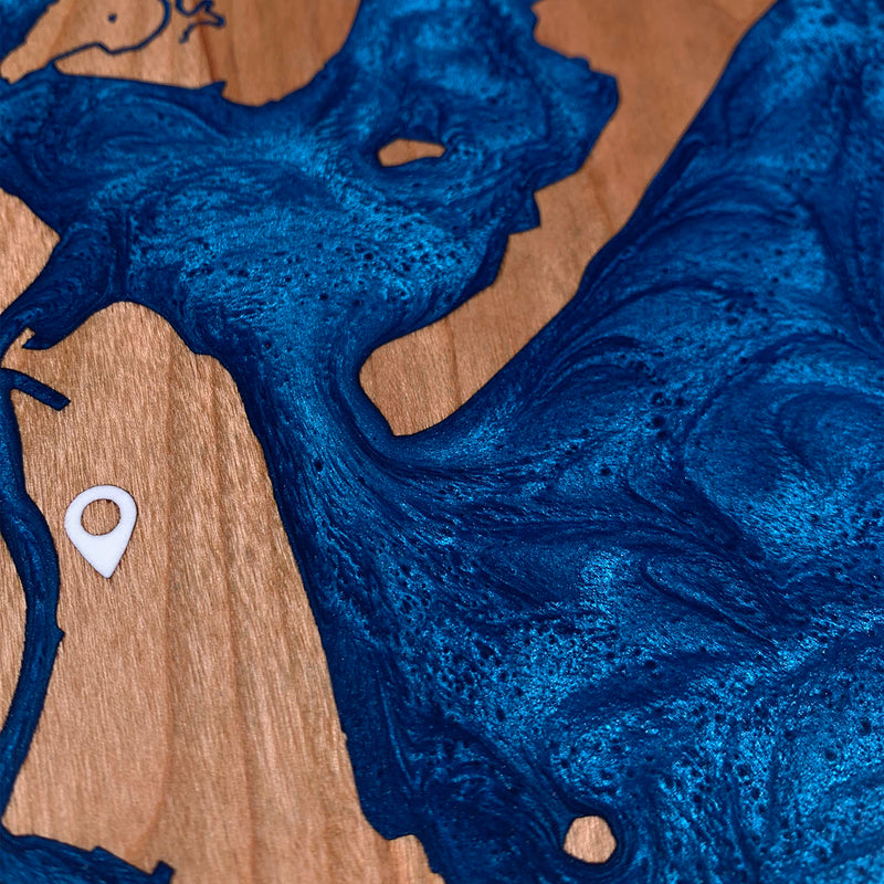
Two colours. Blue for the water, white for the border, the compass rose and the pin. The rose is a syringe fill, since those points and the outer ring have outlines too fine to dam, and the pin goes in on the same pour.
The lettering goes the other way. NORTH WILDWOOD and the line beneath it are not engraved. They stand at the original surface inside the poured area, so the flood covers them and the sanding brings the tops back as bare cherry.
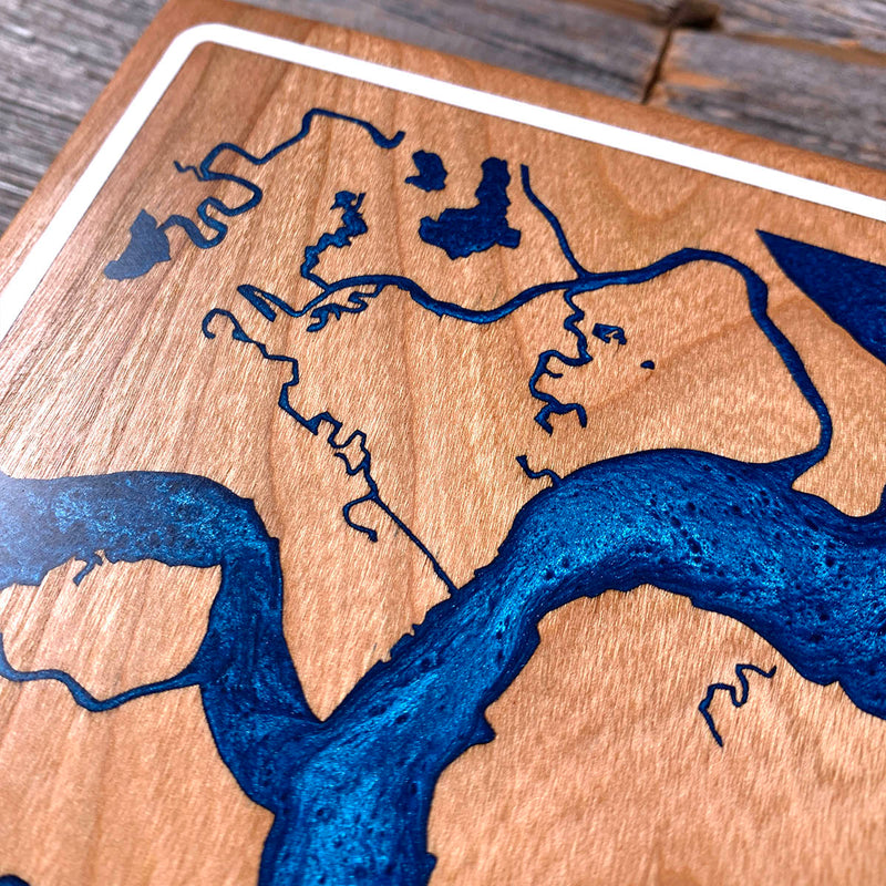
The back bay is where the time goes. Behind the island the water breaks into salt marsh, and the creeks running through it thin down to single channels finer than the dam holding them, branching and doubling back the whole way. Some of those runs are barely wider than the two dam walls that make them. The ocean side is one long clean edge by comparison, which is a fair description of how the two sides of a barrier island actually behave.
Waypoints close by
 Bethany BeachBethany Beach, Delaware, USA
 BellevueTalbot County, Maryland, USA
 Cos Cob HarborGreenwich, Connecticut, USA
 Candlewood LakeDanbury, Connecticut, USA
Also from our workshop
 Sanctuary
From
Sanctuary
From  Peak
From
Peak
From  Silver Fox
From
Silver Fox
From  Tree of Life
From
Tree of Life
From Where this is
39.001615306, -74.792667172