

Epoxy
Vancouver Island
Vancouver, Canada
Also known as Quadra and Vancouver's Island
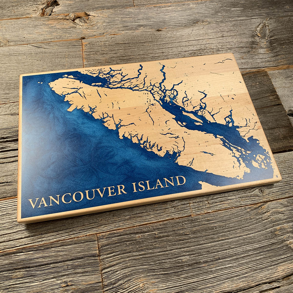
Vancouver Island is not really an island. It is the top of a mountain range that happens to be mostly underwater.
That is why the coast reads like this. The west side is cut through with fjords, glacial valleys that the sea followed inland once the ice went, and everything scattered offshore is a summit that did not quite drown. The island runs four hundred and sixty kilometres northwest to southeast, averages eighty across, and carries an interior of peaks above two thousand metres.
It had a longer name once. Britain and Spain came close to war here in 1790 over who controlled Nootka Sound. When George Vancouver and Juan Francisco de la Bodega y Quadra met in 1792 to settle the matter, the negotiations went well enough that the island was named for both men. For a time it was Quadra and Vancouver's Island. Quadra's half did not survive the century.
Details
- Feature
- Coastline
- Build
- Epoxy
- Material
- Solid Maple
- Colour
- Ocean Blue
- Size
- 10-1/2" x 16"
- Completed
- January 2025
How this one was made
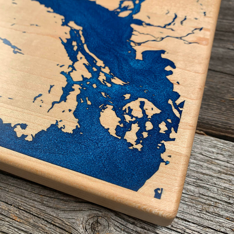
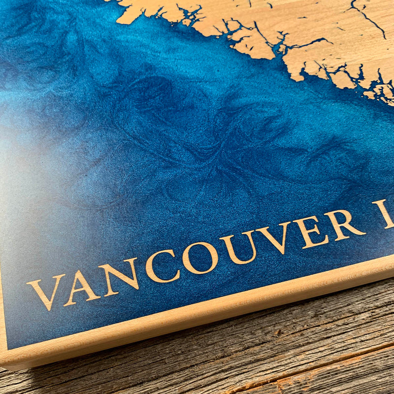
Every difficulty we deal with, all on one board. The pour runs to all four edges, so the perimeter is dammed before anything goes down. The coastline then breaks into the finest work we cut, hundreds of islets and inlets barely wider than the kerf, each one somewhere air can lodge and colour can escape. It is also blue on maple, so every exposed surface gets sealed first, the walls inside those channels included. Nothing about this one is forgiving.
Marked on this piece
- Vancouver Island
Waypoints close by
 Desolation SoundDesolation Sound, British Columbia, Canada
 Hurricane HillOlympic National Park, Washington, USA
 Island LakeShelton, Washington, USA
 Chilliwack RiverBritish Columbia, Canada
Also from our workshop
 Cascade
From
Cascade
From  Sanctuary
From
Sanctuary
From  Peak
From
Peak
From  Silver Fox
From
Silver Fox
From Where this is
49.6725, -125.7792