

Epoxy
Desolation Sound
Desolation Sound, British Columbia, Canada
Also known as Lund, Sunshine Coast, Malaspina Peninsula
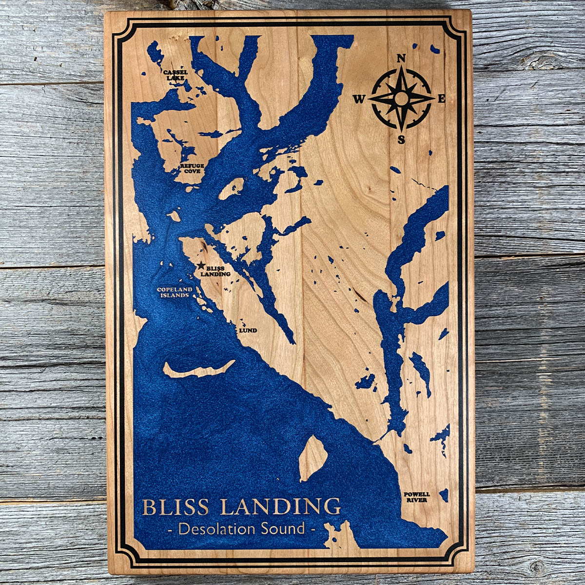
George Vancouver named Desolation Sound in June 1792 because he disliked the look of it. It has the warmest salt water on the coast.
His journal for 25 June says the sound offered "not a single prospect that was pleasing to the eye," along with nothing to eat and nowhere worth going ashore. He was fogbound, short of supplies, and carrying a sick crew.
The water warms here because of three things working together. The maze of islands keeps cold Pacific water out. The tides running around either end of Vancouver Island meet in this area, so there is little exchange. And the flood comes in over sun baked flats and out of shallow lagoons.
By late summer the surface can pass 25 degrees. People swim in it without wetsuits, which is not something you do anywhere else on this coast.
Details
- Feature
- Coastline
- Build
- Epoxy
- Material
- Solid Cherry
- Colour
- Ocean Blue
- Size
- 10-1/2" x 16"
- Completed
- February 2025
How this one was made
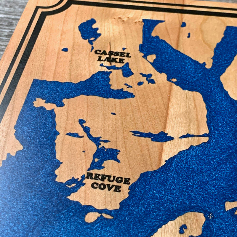
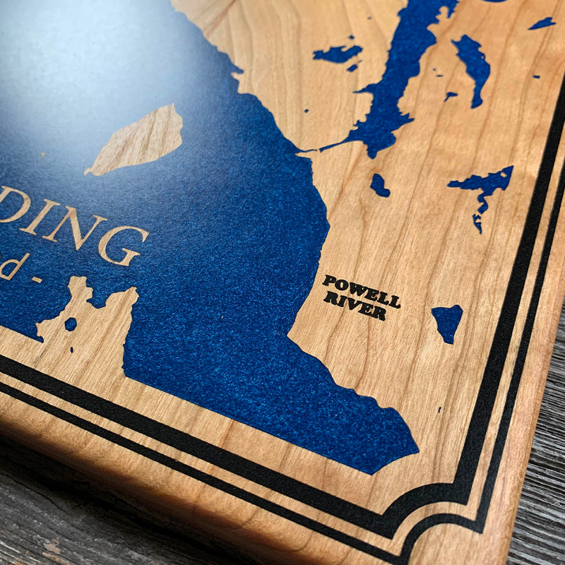
One of the harder boards we have done. The double line around the outside is what takes the longest: two thin parallel channels running the full perimeter, each needing its own dam, each narrow enough to hold air if you let it. Then the place labels, small type and marker icons scattered across the board, most of them sitting right up against the water and every one needing to be walled off from the blue on its own. Cherry underneath all of it, so the seal has to be holding everywhere before any of that begins. Not much on this board was quick.
Marked on this piece
- Cassel Lake
- Refuge Cove
- Copeland Islands
- Lund
- Powell River
Waypoints close by
 Hurricane HillOlympic National Park, Washington, USA
 Chilliwack RiverBritish Columbia, Canada
 Island LakeShelton, Washington, USA
 Kawkawa LakeHope, British Columbia, Canada
Also from our workshop
 Cascade
From
Cascade
From  Sanctuary
From
Sanctuary
From  Peak
From
Peak
From  Silver Fox
From
Silver Fox
From Where this is
49.98471, -124.7923