

Epoxy
Upper Captiva Island
Lee County, Florida, USA
Also known as Upper Captiva, Pine Island Sound
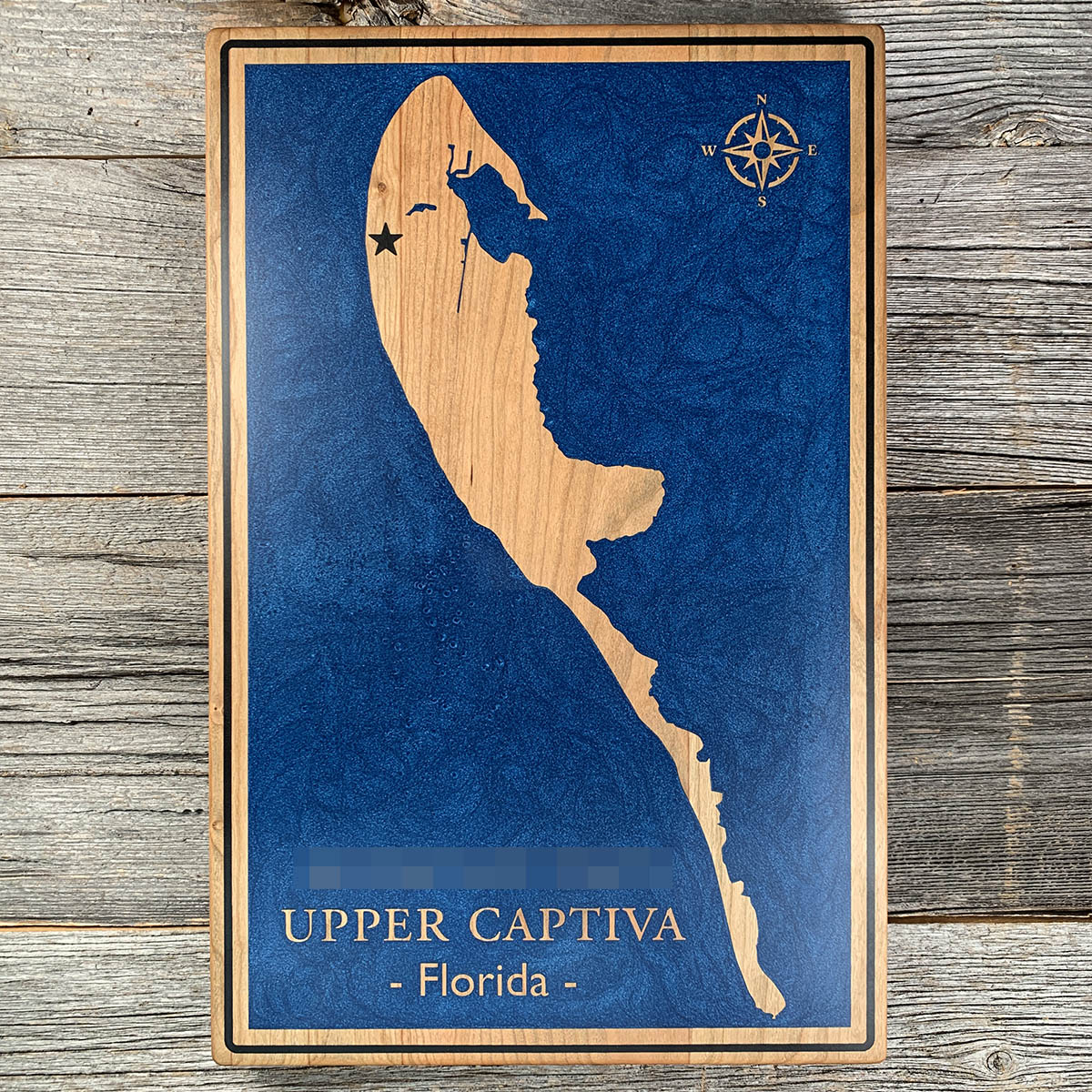
North Captiva was part of Captiva Island until October 1921, when a hurricane cut a channel through and made it separate.
The new pass was 4,127 feet wide when it opened. By 1977 it had closed down to 660. It took the name Redfish Pass from what people started catching in it once the water began moving through.
That is normal here. At least three other passes have opened and closed along this stretch in the past 1,500 years. Hurricane Charley cut one across the middle of the island in 2004 and it refilled within five.
The island runs about four miles long and half a mile across at its widest, most of it under six feet above sea level. There are no cars, and everything arrives by boat or small plane. Hurricane Ian came ashore here in 2022.
Details
- Feature
- Coastline
- Build
- Epoxy
- Material
- Solid Maple
- Colour
- Ocean Blue
- Size
- 10-1/2" x 16"
- Completed
- March 2025
How this one was made
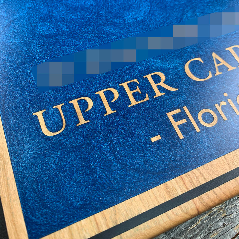
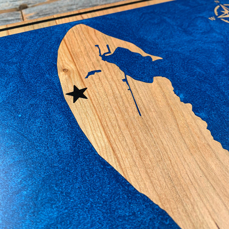
The blue sits in a rectangular field inside a cherry border, so the dam runs around that field rather than at the board edge or along a waterline. The island, the lettering and the compass are all unengraved cherry standing at full height inside the pour, so they went under the blue and came back at the sanding stage. The black in the border line and the star is the only separate colour, and each of those takes its own dam. Cherry underneath all of it, so the seal has to hold before the field goes down.
Waypoints close by
 Coquina BeachBradenton Beach, Florida, USA
 Forgotten CoastPanhandle, Florida, USA
 Choctawhatchee BayFlorida, USA
 Dale Hollow LakeTennessee / Kentucky, USA
Also from our workshop
 Sanctuary
From
Sanctuary
From  Peak
From
Peak
From  Silver Fox
From
Silver Fox
From  Tree of Life
From
Tree of Life
From Where this is
26.5850479, -82.214511