

Engraved
Dale Hollow Lake
Tennessee / Kentucky, USA
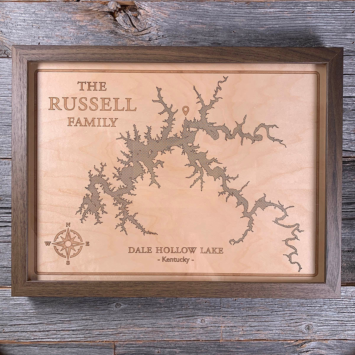
Dale Hollow does not look like a lake because it is not one. It is a river system that was flooded in 1943, and every branch here is a drowned valley.
The Army Corps of Engineers dammed the Obey River for flood control and the water backed up into every hollow and creek bed it could reach. What the engraving traces is really the shape of the land underneath: 620 miles of shoreline wrapped around 27,700 acres, following contours that were dry ground eighty years ago.
The Corps kept the shoreline undeveloped, so there are no private docks and no houses at the edge of the water. The result is a reservoir clear enough to see well down into, and the best smallmouth bass fishing anywhere, not as a figure of speech. The largest smallmouth ever recorded was pulled out of here in 1955, and so were several of the next largest.
Details
- Feature
- Lake
- Build
- Engraved
- Material
- Maple Veneer
- Size
- 12" x 16"
- Completed
- October 2025

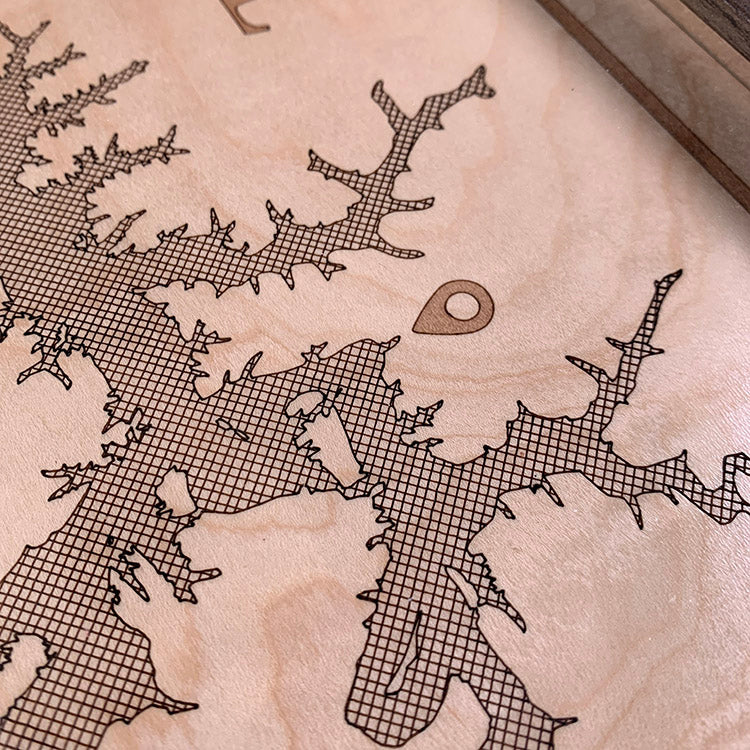
How this one was made
No epoxy here, which shifts where the difficulty sits. Dale Hollow is a flooded river valley and its outline is almost entirely edge — every creek and hollow branching off the main body, down to inlets a few pixels wide. Getting that faithfully into the file is slow work at the tracing stage, and it is what makes or breaks an engraving like this. Cleaning up afterwards takes the same care: the laser leaves soot across the whole panel, and washing it off maple without driving it into the grain is its own skill.
Marked on this piece
- Dale Hollow Lake
- Kentucky
Waypoints close by
 Choctawhatchee BayFlorida, USA
 Forgotten CoastPanhandle, Florida, USA
 Greers Ferry LakeHeber Springs, Arkansas, USA
 Great LakesOntario, Canada
Also from our workshop
 Howl
From
Howl
From  Kodiak
From
Kodiak
From  Nomad
From
Nomad
From  Summit
From
Summit
From Where this is
36.633929, -85.294933