

Epoxy
Sidney
British Columbia, Canada
Also known as Sidney by the Sea, Saanich Peninsula
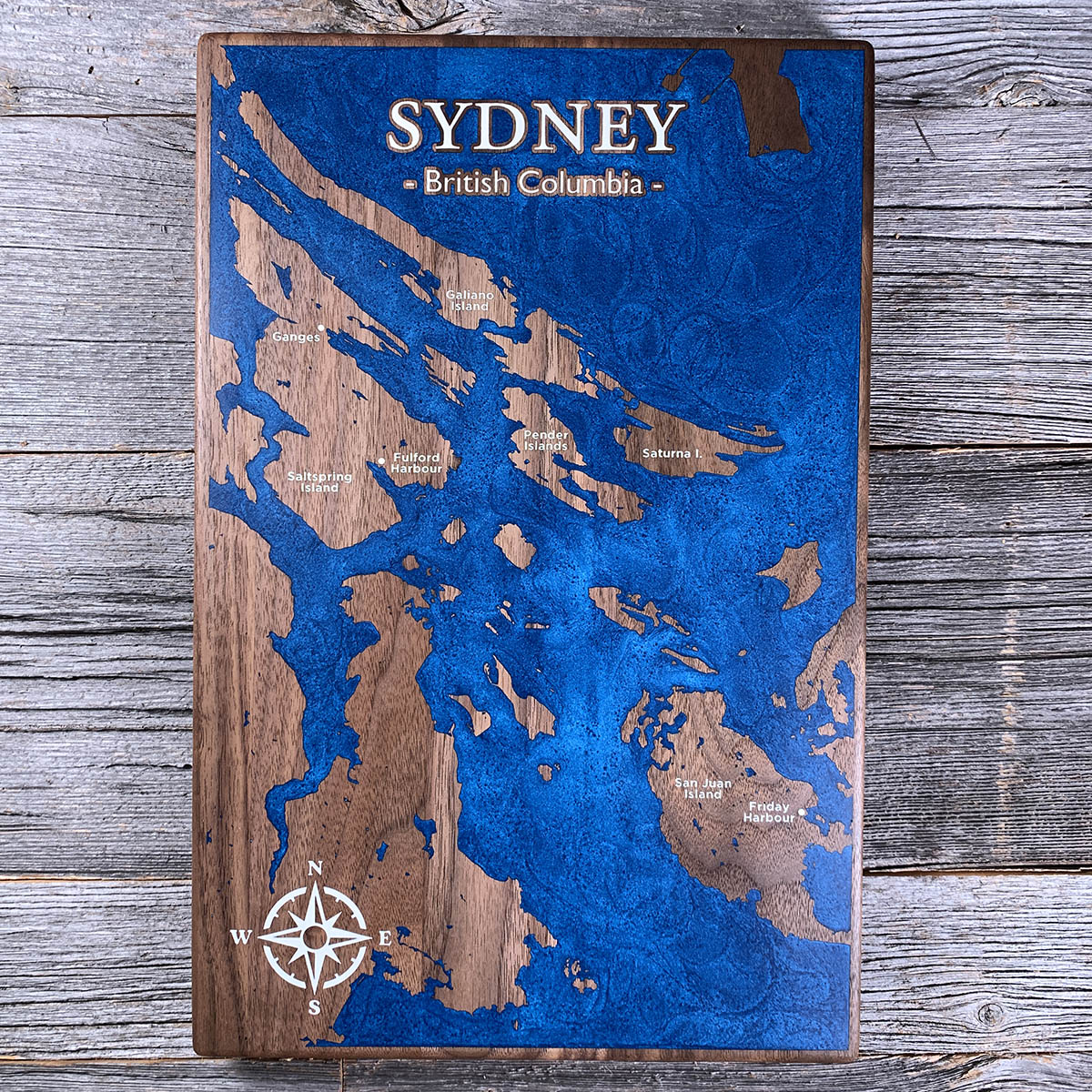
Sidney sits at the top of the Saanich Peninsula, looking out at two countries' worth of islands scattered across the Salish Sea.
North of the town are the Southern Gulf Islands, Saltspring, Galiano, Pender, Saturna. South are the San Juans. The border between Canada and the United States runs down Haro Strait, straight through the middle of this chart, and it is the one feature the board does not show. From above, the archipelago is a single continuous scatter of rock and channel.
Ferries leave in both directions: Swartz Bay just north for Vancouver and the Gulf Islands, and Anacortes, Washington, from the town dock itself. Locals call it Sidney-by-the-Sea, and the marinas, the channels and the harbours in walnut and blue here are the reason why.
Details
- Feature
- Coastline
- Build
- Epoxy
- Material
- Solid Walnut
- Colour
- Ocean Blue
- Size
- 10-1/2" x 16"
- Completed
- June 2026
How this one was made
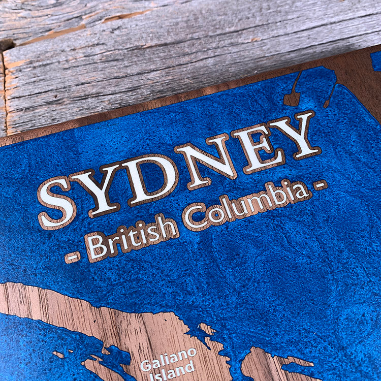
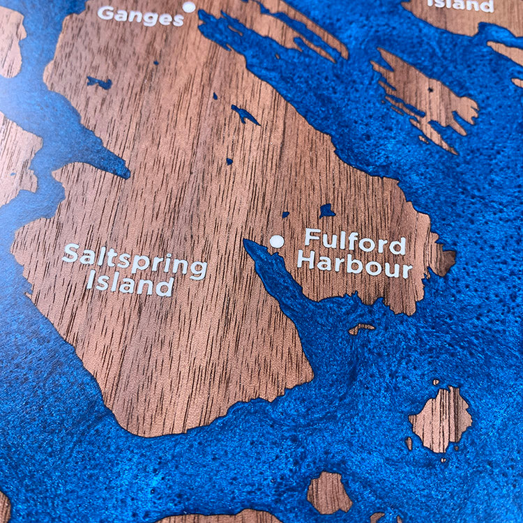
This is one of the harder pours we do. The water runs to all four edges, so the entire perimeter has to be dammed before anything goes down, and every piece of white lettering has to be blocked off individually inside it. White is also the colour most easily ruined by engraving soot, which turns it a dirty yellow-brown if any is left loose in the grain. The title is the tightest part: a white pour and a blue pour meeting either side of a strip of unengraved wood about a millimetre wide, with nothing but that ridge keeping them apart.
Marked on this piece
- Ganges
- Saltspring Island
- Fulford Harbour
- Galiano Island
- Pender Islands
- Saturna Island
- San Juan Island
- Friday Harbour
Waypoints close by
 Hurricane HillOlympic National Park, Washington, USA
 Island LakeShelton, Washington, USA
 Chilliwack RiverBritish Columbia, Canada
 Desolation SoundDesolation Sound, British Columbia, Canada
Also from our workshop
 Seaside
From
Seaside
From  Cascade
From
Cascade
From  Sanctuary
From
Sanctuary
From  Peak
From
Peak
From Where this is
48.6506, -123.3983