

Epoxy
Sanibel Island
Florida, USA
Also known as Sanibel, Lee County
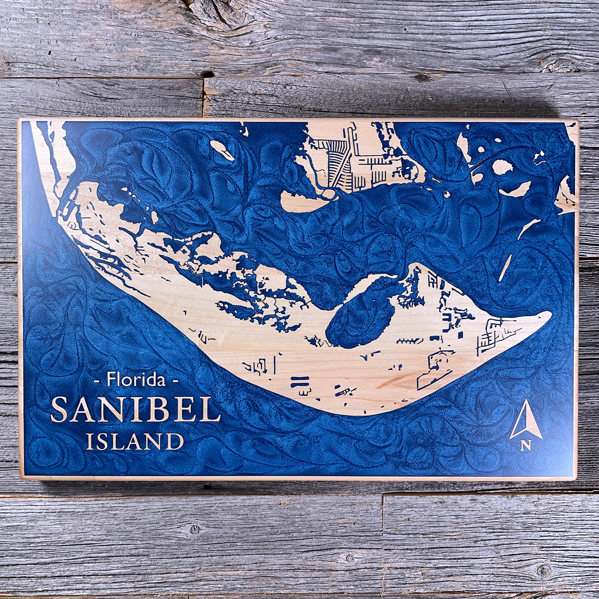
Most barrier islands run north-south. Sanibel runs east-west, and that quirk of orientation is why its beaches are buried in shells.
The island sits sideways to the Gulf, backed by a shallow shelf that slopes out for miles. Together they work like a dustpan: currents sweeping up the coast hit Sanibel broadside and drop everything they are carrying. More than 250 species wash up here, and the bent-at-the-waist posture of a shell hunter has its own name, the Sanibel Stoop.
Over half the island is protected as the J.N. "Ding" Darling National Wildlife Refuge, which is why the interior reads as water and marsh on this board rather than streets. The curve you are looking at is the same one doing the scooping.
Details
- Feature
- Coastline
- Build
- Epoxy
- Material
- Solid Maple
- Colour
- Ocean Blue
- Size
- 10-1/2" x 16"
- Completed
- June 2025
How this one was made
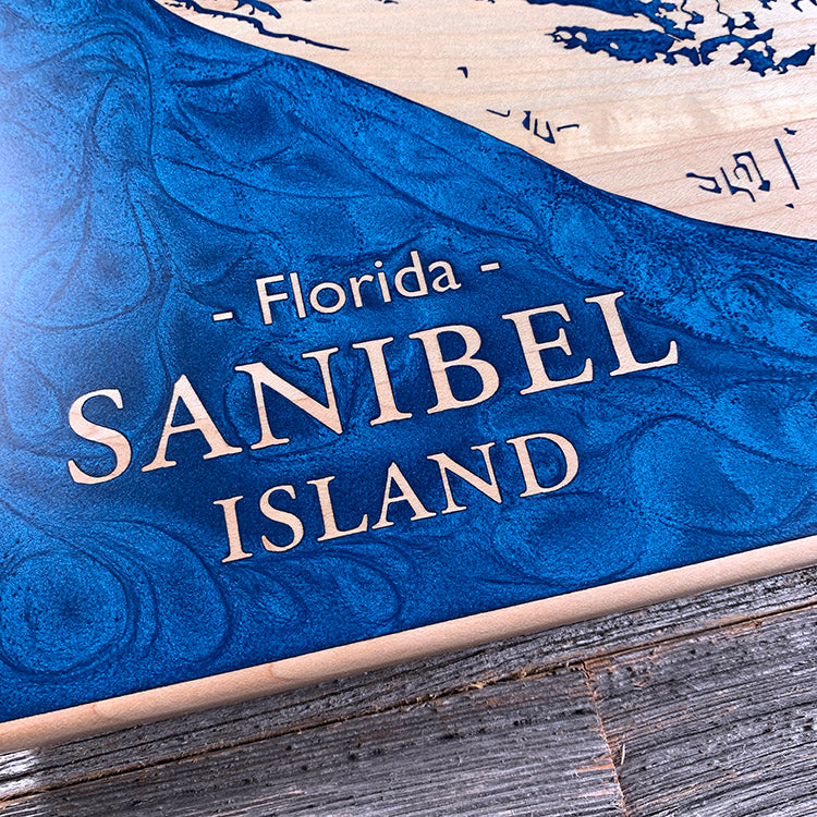
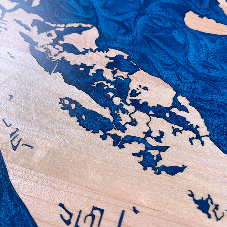
Three problems at once on this one. The pour runs wall to wall, so the whole perimeter has to be dammed before anything goes down. The shoals and channels off the east end break into hundreds of small pockets where air gets trapped with nowhere to escape. And blue against maple is a staining risk — pale wood takes pigment readily, so every exposed surface has to be sealed first, including the vertical walls inside each engraved detail. Miss one and the blue wicks into the grain and stays there.
Marked on this piece
- Sanibel Island
- Florida
Waypoints close by
 Coquina BeachBradenton Beach, Florida, USA
 Forgotten CoastPanhandle, Florida, USA
 Choctawhatchee BayFlorida, USA
 Dale Hollow LakeTennessee / Kentucky, USA
Also from our workshop
 Sanctuary
From
Sanctuary
From  Peak
From
Peak
From  Silver Fox
From
Silver Fox
From  Tree of Life
From
Tree of Life
From Where this is
26.4434, -82.1115