

Epoxy
Sand Lake
Oregon, USA
Also known as Sand Lake Estuary, Sandlake
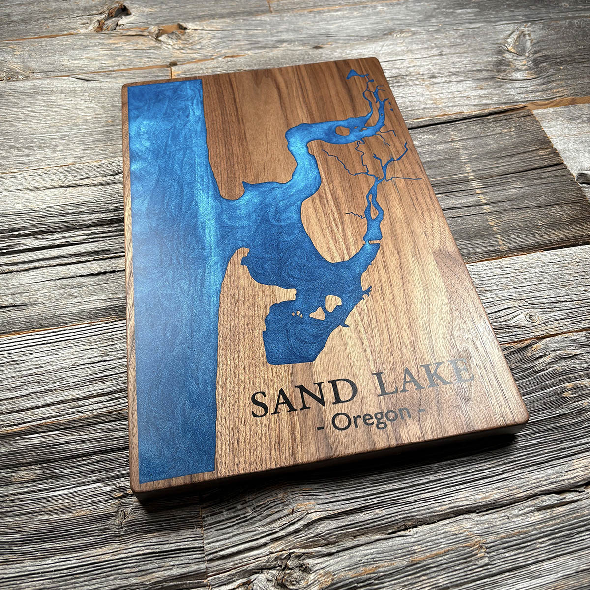
Sand Lake is not a lake. It is a tidal inlet that fills from the ocean and empties twice a day, and at low tide most of what you see here is mud.
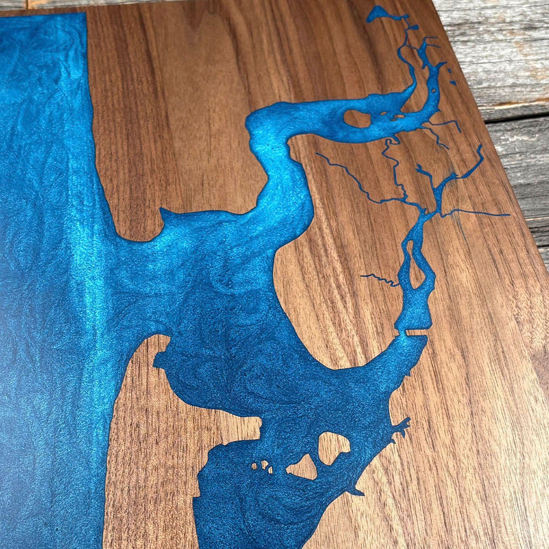
Most Oregon estuaries are drowned river valleys. This one formed behind a sand bar at the creek mouth instead, and very little fresh water comes down to it. Sand Creek runs eight miles off the Coast Range and drains a watershed under eleven thousand acres, which is why the channels threading inland on this board are so fine. They are creeks, not rivers.
With so little freshwater pressure, the sea runs the place. There are no jetties and no built structures at the mouth, which is unusual on this coast, and the tide moves through the whole system unimpeded. Whalen Island sits in the middle of it and only becomes an island at the highest tides. Paddlers get a couple of hours before the water drains out from under them.
Details
- Feature
- Coastline
- Build
- Epoxy
- Material
- Solid Walnut
- Colour
- Ocean Blue
- Size
- 10-1/2" x 16"
- Completed
- December 2024
How this one was made
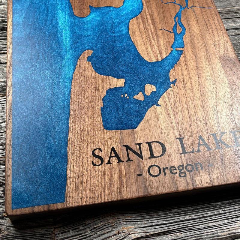
The Pacific runs off the edge of the board on one side, so the perimeter is dammed before any resin goes down. The inland half is the opposite problem. Sand Creek and its tributaries thread back into the Coast Range as channels narrow enough that resin has to be worked into them rather than poured, and fine work like that is where air gets trapped and where colour finds its way past a seal.
Marked on this piece
- Sand Lake
- Oregon
Waypoints close by
 ColtonClackamas County, Oregon, USA
 Island LakeShelton, Washington, USA
 Hurricane HillOlympic National Park, Washington, USA
 Chilliwack RiverBritish Columbia, Canada
Also from our workshop
 Seaside
From
Seaside
From  Cascade
From
Cascade
From  Sanctuary
From
Sanctuary
From  Peak
From
Peak
From Where this is
45.2755, -123.9532