

3D Printed
Colton
Clackamas County, Oregon, USA
Also known as Carlsborg, Milk Creek, Clackamas County
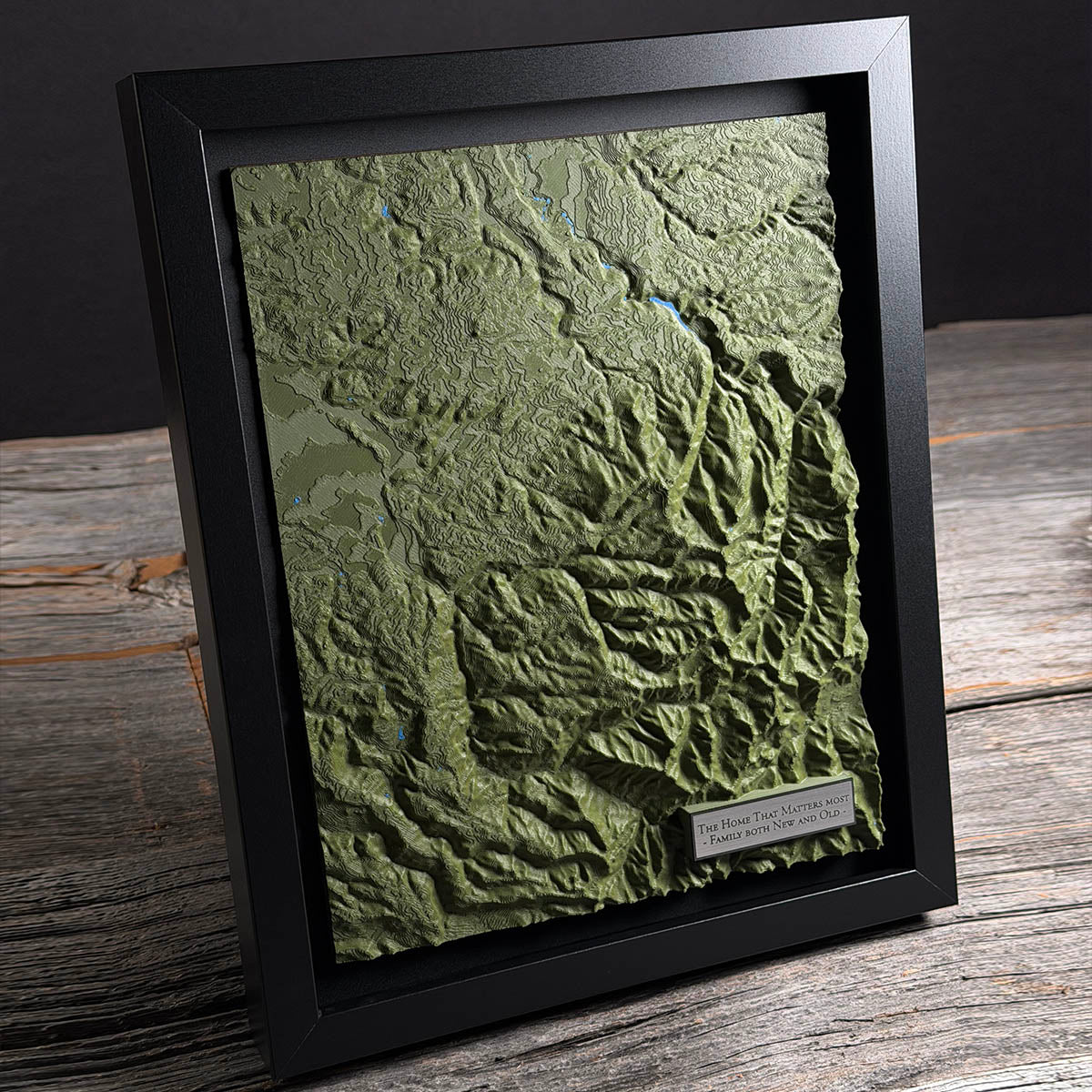
In 1905 a Portland pastor bought 1,960 acres here, cut it into forty-acre farms, and sold them to Swedes. He called it Carlsborg.
Carl J. Renhard ran First Immanuel Lutheran in Portland and had helped found Emanuel Hospital. He set up the American-Scandinavian Realty Company to do the buying and the selling.
Swedes had been coming to Oregon in numbers for decades, mostly into logging camps, sawmills and the fishing fleet. Renhard's offer was different: forty acres of your own, among people who spoke your language.
The name did not stick. The place was already Colton by then, named in 1892 after two men who each tried to name it after the other. It sits on Milk Creek at about 700 feet, in canyon country built out of volcanic rock and ash from the Western Cascades.
Details
- Feature
- Terrain
- Build
- 3D Printed
- Material
- Dark Green PLA
- Size
- 10-3/4" x 8-3/4"
- Completed
- January 2026
How this one was made
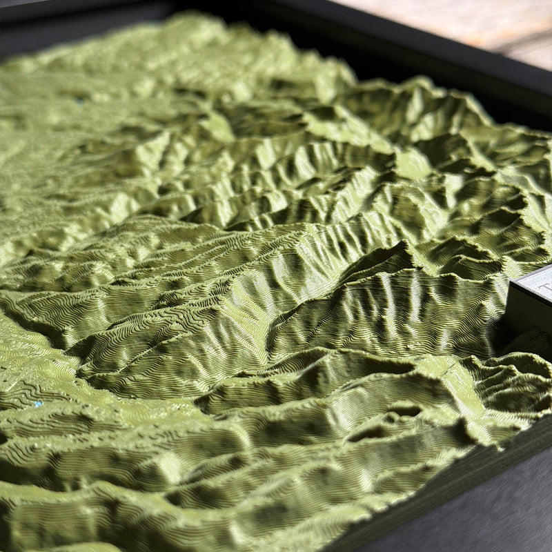
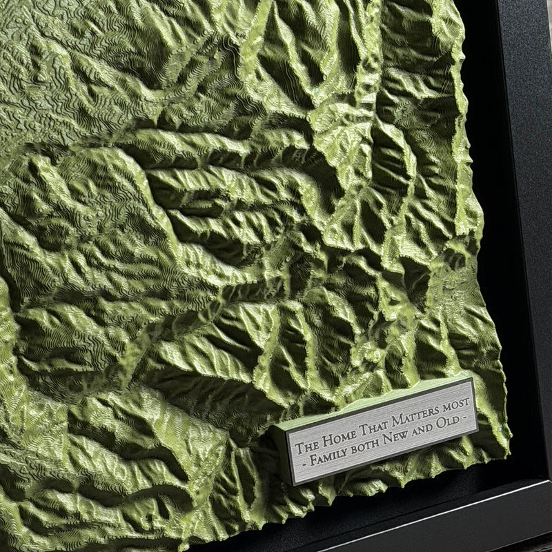
Colton sits at about seven hundred feet in country that rolls rather than rises, so true to life would have come off the printer nearly flat. This one went in on the exaggerated setting, which pushes the vertical until the creek valleys read as valleys and the ridges between them separate. It is the judgement call on every one of these, and there is no correct answer, only a choice between a shape that is accurate and a shape you can see.
Waypoints close by
 Island LakeShelton, Washington, USA
 Hurricane HillOlympic National Park, Washington, USA
 Chilliwack RiverBritish Columbia, Canada
 Kawkawa LakeHope, British Columbia, Canada
Also from our workshop
 Summit
From
Summit
From  Peak
From
Peak
From  Nomad
From
Nomad
From  Kodiak
From
Kodiak
From Where this is
45.171522089, -122.436842377