

Epoxy
San Diego Bay
San Diego, California, USA
Also known as Coronado, Silver Strand, Point Loma, North Island
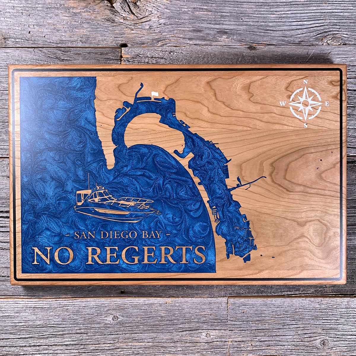
Coronado used to be two islands, and the water between them is on old charts under the name Spanish Bight.
The Navy filled it during the Second World War to join North Island to the rest of Coronado, finishing in 1944. That was one project among many. Shelter Island had been a sandbar until dredge spoil from the wartime channel deepening was dumped on it, then raised it further above the tide. Harbor Island was built the same way in 1961. The bay's main channel has gone from about eight feet deep in 1857 to roughly forty today.
So the outline on this board is partly a record of what was moved. The bay itself is natural, formed behind the Silver Strand, the sand tombolo that ties Coronado to the mainland at the south end. Everything inside it has been reshaped.
The salt ponds at the far south end are the exception. Those are still working, and still the same shape they have held for over a century.
Details
- Feature
- Coastline
- Build
- Epoxy
- Material
- Solid Cherry
- Colour
- Ocean Blue
- Size
- 10-1/2" x 16"
- Completed
- April 2025
How this one was made
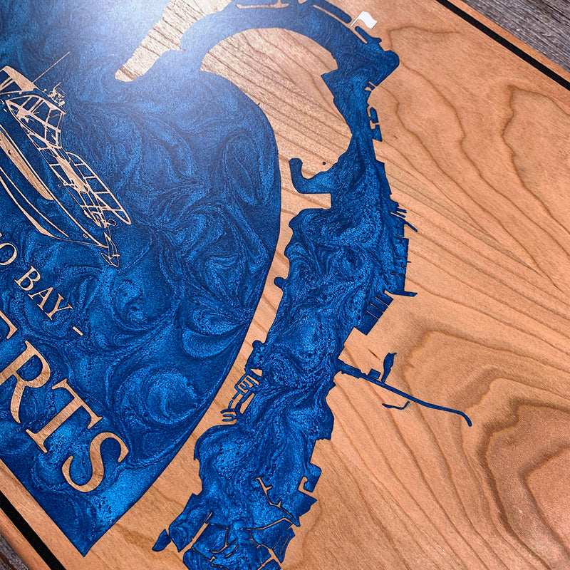
Cherry, inset, with a black border groove running the full perimeter.
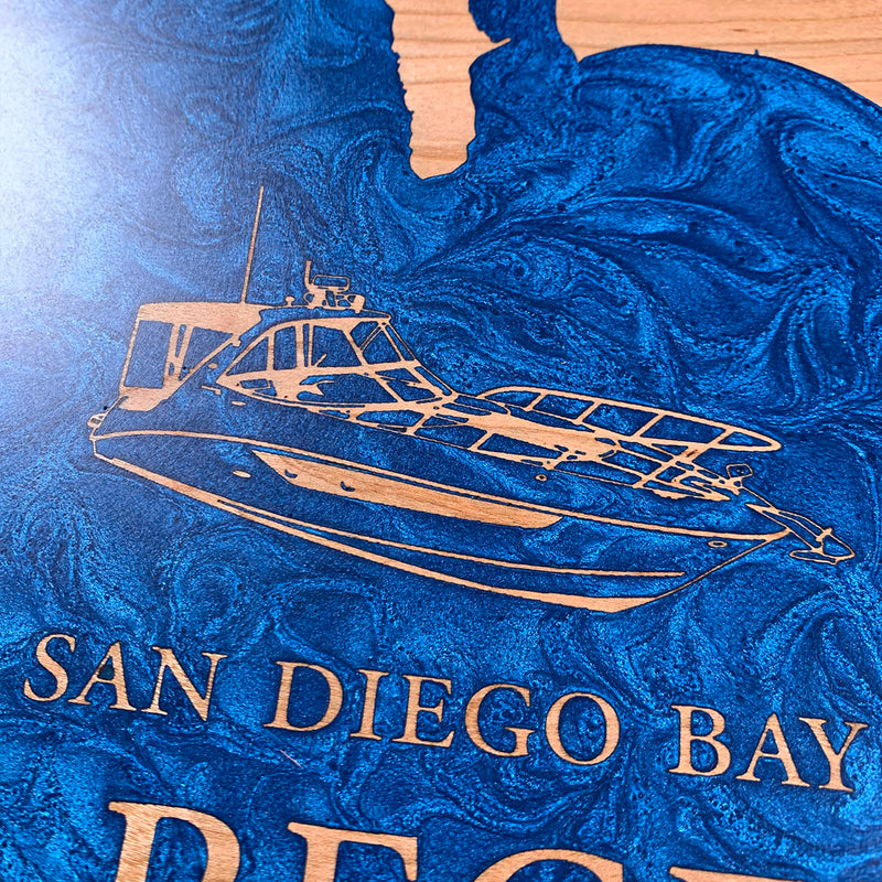
The boat is the reason this one is different. The customer sent us their own vessel and wanted it on the board with the name, so the drawing is worked in reverse relief the same way the lettering is. It sits inside the water cavity at the original surface height, the flood covers everything, and the sanding brings it back as bare cherry line work against blue. That is fine detail to hold. Rails, canvas, windscreen frames, the rod holders along the gunwale, all of it standing proud at full depth with no fill to tidy an edge afterwards.
SAN DIEGO BAY and NO REGERTS are handled the same way, and the compass rose is the one element that goes the other direction, engraved into bare wood and filled white.
The bay itself is a long dam run. Coronado and the Silver Strand come down the middle as a thin curved arm with water on both sides, and the dam lines follow it the whole way at half an inch out on each side. The south end breaks into salt ponds and marina berths, which is a lot of small straight edges in a short stretch.
Waypoints close by
 Abiquiu LakeAbiquiú, New Mexico, USA
 Blue Mesa ReservoirGunnison, Colorado, USA
 Cabo San LucasMexico
 ColtonClackamas County, Oregon, USA
Also from our workshop
 Cascade
From
Cascade
From  Sanctuary
From
Sanctuary
From  Peak
From
Peak
From  Silver Fox
From
Silver Fox
From Where this is
32.642594226, -117.167765658