

Epoxy
Cabo San Lucas
Mexico
Also known as Land's End, Baja California Sur
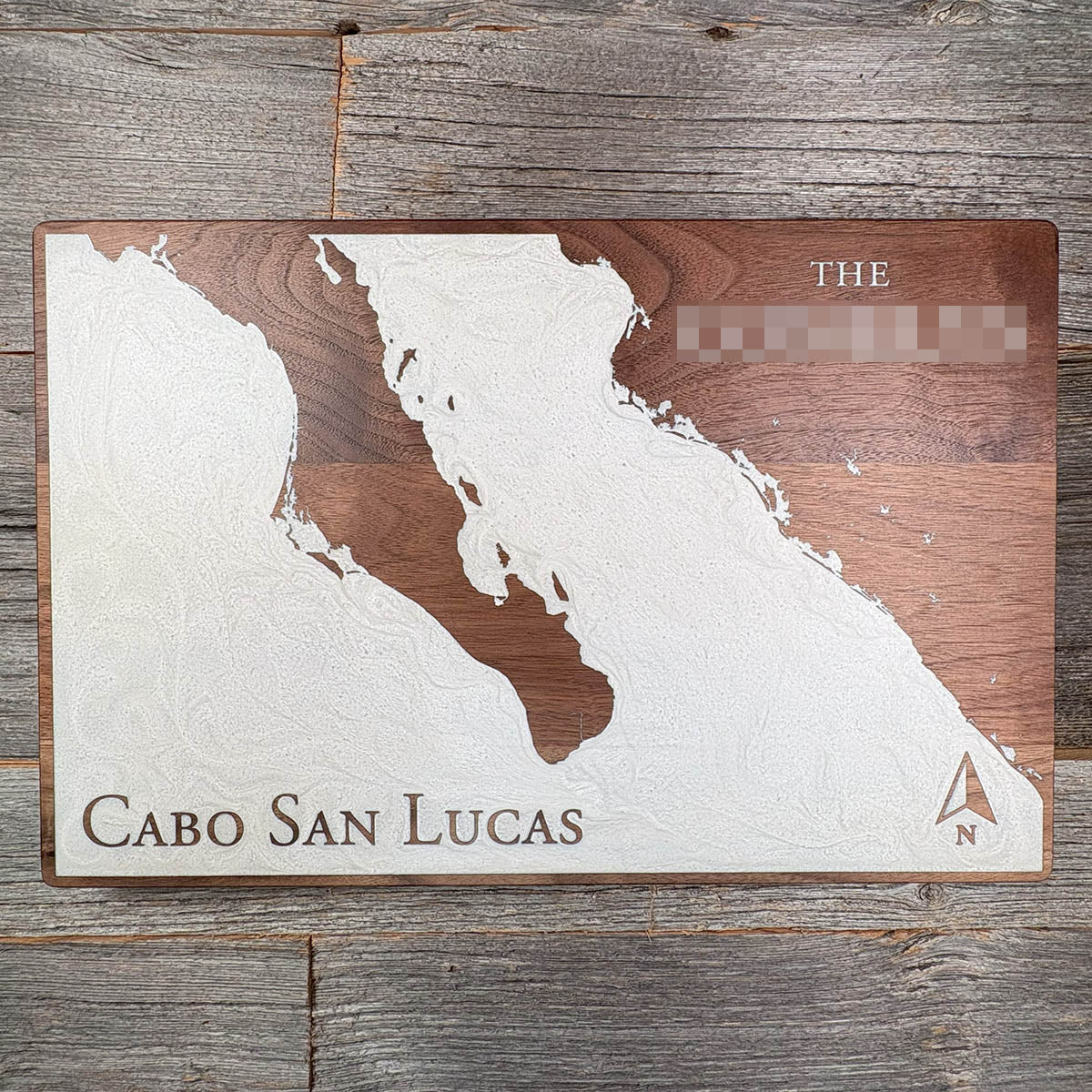
The white channel down the middle of this board is a crack. Baja was part of mainland Mexico until about ten million years ago, and it is still pulling away.
The Pacific Plate caught the peninsula and began dragging it northwest, tearing it off the continent along the same boundary that runs up into California and becomes the San Andreas Fault. The Gulf of California — the Sea of Cortez — is simply the gap that opened behind it, flooded by the Pacific. It is a young ocean by geological standards, and it is still widening at roughly five centimetres a year.
Cabo San Lucas sits at the very tip, on the corner where the open Pacific meets the gulf. Everything north of it on this board is drifting, slowly and steadily, toward Alaska.
Details
- Feature
- Coastline
- Build
- Epoxy
- Material
- Solid Walnut
- Colour
- White Pearl
- Size
- 10-1/2" x 16"
- Completed
- December 2024
How this one was made
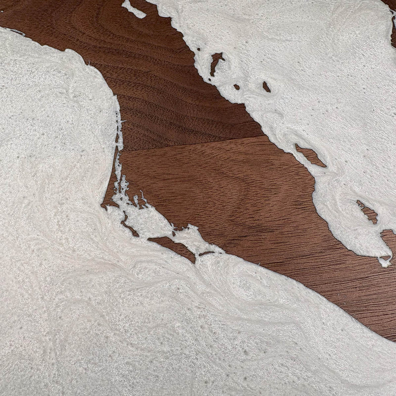
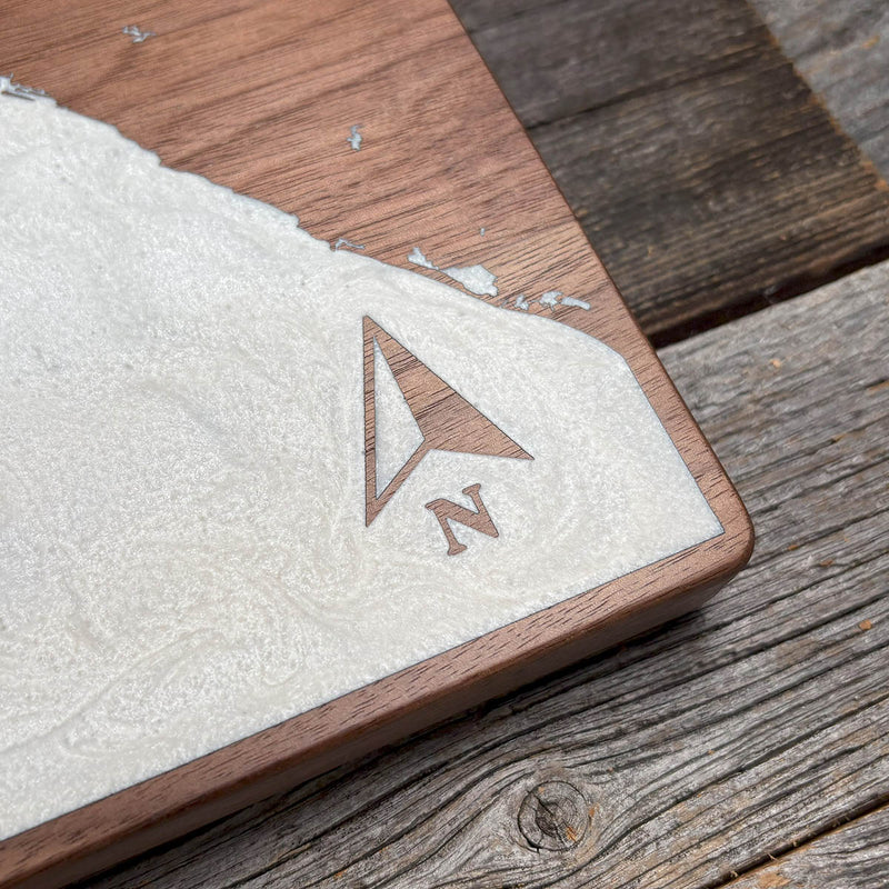
White is the least forgiving colour we pour. Engraving leaves fine soot in the grain, and any of it still loose when the resin goes down will bleed up into the pour and turn it a dirty yellow-brown — permanently. The board has to be thoroughly sealed first. The narrow inlets along this coast are the other difficulty: small pockets where air gets trapped with nowhere to travel out.
Marked on this piece
- Cabo San Lucas
- Sea of Cortez
- Gulf of California
Waypoints close by
 Abiquiu LakeAbiquiú, New Mexico, USA
 Knox LakeLimestone County, Texas, USA
 Blue Mesa ReservoirGunnison, Colorado, USA
 Calcasieu LakeLouisiana, USA
Also from our workshop
 Sanctuary
From
Sanctuary
From  Peak
From
Peak
From  Silver Fox
From
Silver Fox
From  Tree of Life
From
Tree of Life
From Where this is
22.8905, -109.9167