

Epoxy
Salt Spring Island
Gulf Islands, British Columbia, Canada
Also known as Saltspring Island, Admiral Island, Ganges, Gulf Islands
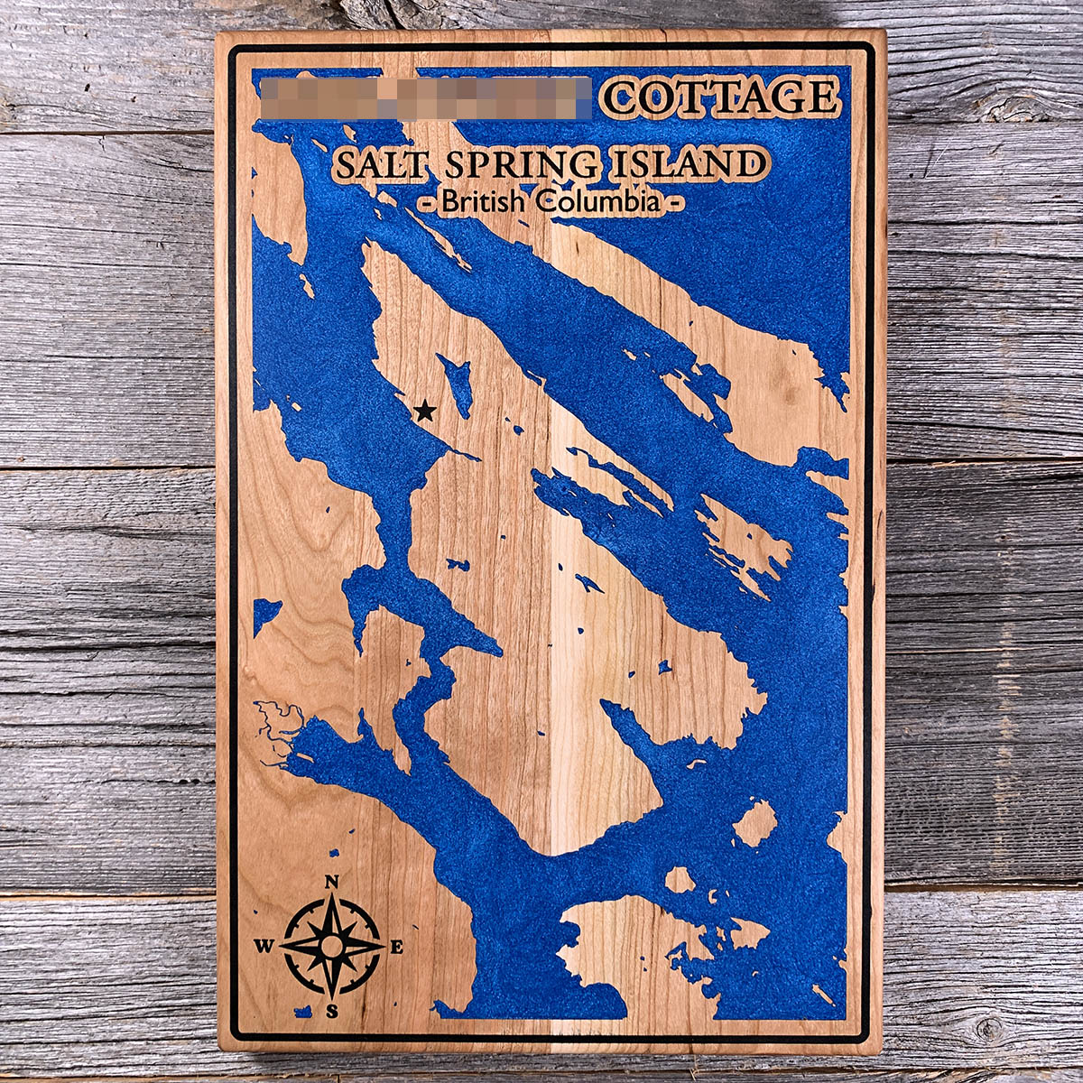
Before anyone settled here, a delegation went to Victoria to ask what treatment they could expect.
California had passed laws targeting Black residents in 1858, and Mifflin Wistar Gibbs travelled north with two others to put the question to Governor James Douglas. Douglas was himself of mixed race, born in Guyana. He told them slavery had been abolished in the colony more than twenty years earlier.
Settlement began the following summer. About twenty people landed at Ganges Harbour and built the first house, and roughly half of them were Black migrants from California. E.A. Booth, Armstead Buckner, William Isaacs and Fielding Spotts were among the first to pre-empt land. The Salt Spring Island Archives has since mapped 26 Black homesteads. Hawaiian labourers who had worked for the Hudson's Bay Company settled the south end.
This was the first of the Gulf Islands settled by anyone other than the Coast Salish, and it was done without a treaty. Those claims remain unsettled.
Details
- Feature
- Coastline
- Build
- Epoxy
- Material
- Solid Cherry
- Colour
- Ocean Blue
- Size
- 10-1/2" x 16"
- Completed
- April 2025
How this one was made
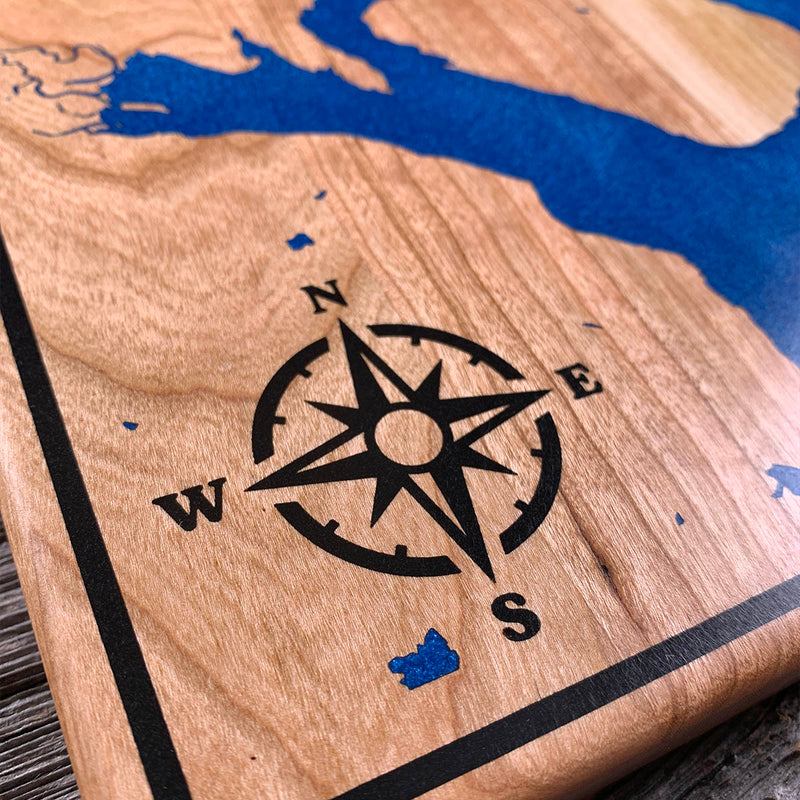
Cherry, inset, with a black border running the full perimeter.
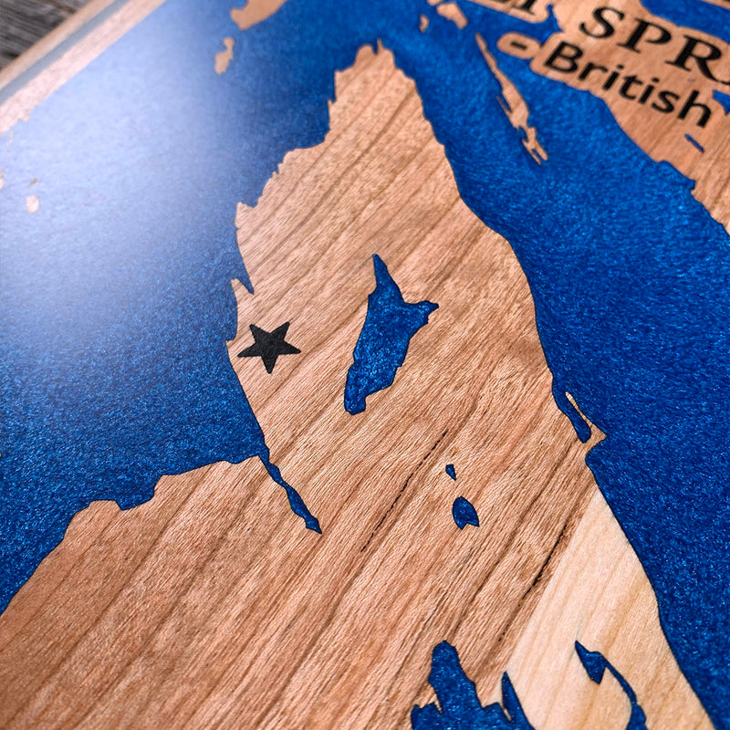
This type of lettering is the most involved that we do. SALT SPRING ISLAND and the line beneath it are all left standing at the original surface inside the water cavity, so the flood goes over them and the sanding brings the tops back as bare cherry. But each letter also carries an engraved outline that gets filled black, so every character is worked twice. Reverse relief for the face, syringe fill for the edge, and the two have to line up exactly or the letter reads soft.
Two colours on the board and the black is doing four jobs. The border, the compass rose, the star, and every letter outline.
Then the geography. An archipelago is not one coastline but dozens, and here they run diagonally across the board with channels between them narrow enough that the dam lines nearly meet. Islands come down to a few square millimetres of wood, and at that size they have to survive both the flood and the sand back.
Waypoints close by
 Hurricane HillOlympic National Park, Washington, USA
 Island LakeShelton, Washington, USA
 Chilliwack RiverBritish Columbia, Canada
 Desolation SoundDesolation Sound, British Columbia, Canada
Also from our workshop
 Sanctuary
From
Sanctuary
From  Peak
From
Peak
From  Silver Fox
From
Silver Fox
From  Tree of Life
From
Tree of Life
From Where this is
48.801110187, -123.490030189