

Epoxy
Salt Spring Island
British Columbia, Canada
Also known as Saltspring Island, Ganges, Admiral Island
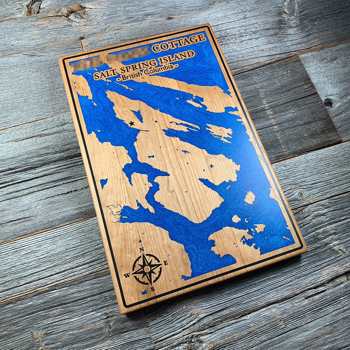
Among the first settlers on Salt Spring Island in 1859 were Black Californians who came north for a place where they could own land.
They had left San Francisco after a run of state laws stripped away rights they had fought for, and Governor James Douglas, himself the son of a free woman of colour, made it clear they would be welcome. Salt Spring was the first island in the region where settlers could pre-empt land, claiming it and paying later. The island archives have mapped 26 Black homesteads, most of them at the north end.
The name took longer to settle than the island did. Early charts called it Chuan, then Admiral Island, after Rear Admiral Robert Baynes. Locals ignored both. The official federal spelling is one word, Saltspring. Local usage still prefers two.
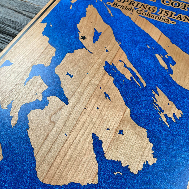
Salt Spring sits at the centre of a scatter of smaller islands and reefs. On the board that becomes dozens of separate outlines, and every narrow channel between them is somewhere air can lodge.
Details
- Feature
- Coastline
- Build
- Epoxy
- Material
- Solid Cherry
- Colour
- Ocean Blue
- Size
- 10-1/2" x 16"
- Completed
- February 2025
How this one was made
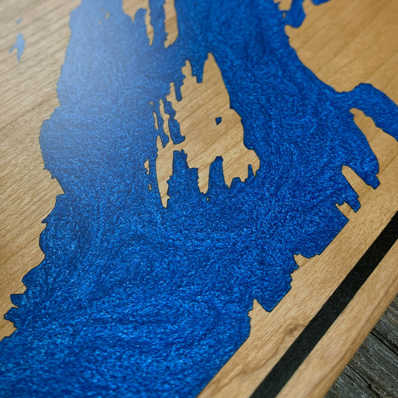
This one ran wall to wall, with a second colour around the border, so the whole perimeter was dammed before we poured and the two colours had to be held apart while they set. Cherry takes pigment fast, so the sealing step did a lot of work here, including inside the walls of every engraved channel. The Gulf Islands break the coastline into a lot of small, narrow shapes, and those are where bubbles want to sit. Most of the time on this board went into working air out of the tight spots rather than into the pour itself.
Waypoints close by
 Hurricane HillOlympic National Park, Washington, USA
 Island LakeShelton, Washington, USA
 Chilliwack RiverBritish Columbia, Canada
 Desolation SoundDesolation Sound, British Columbia, Canada
Also from our workshop
 Seaside
From
Seaside
From  Cascade
From
Cascade
From  Sanctuary
From
Sanctuary
From  Peak
From
Peak
From Where this is
48.8103, -123.4912