

Epoxy
Pender Island
Gulf Islands, British Columbia, Canada
Also known as The Penders, North Pender, South Pender
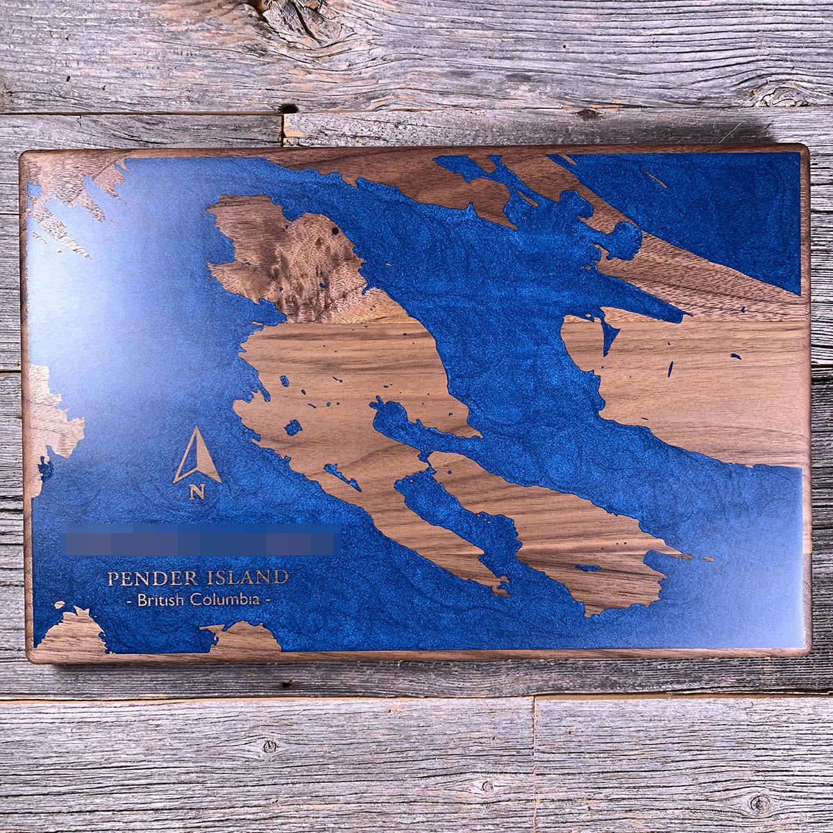
Pender was one island until 1903, when a canal was cut through the low neck in the middle so a steamer could stop going the long way round.
The Iroquois had been running from Sidney to Hope Bay since 1900 and had to work around the south end of South Pender, which is rough water. Islanders petitioned to have the isthmus dredged. It also shortened the run to Mayne and the rest of the Gulf Islands.
The neck they cut through had been a portage for thousands of years. Canoes were carried over it between Port Browning and Bedwell Harbour, and the village on its shores has been occupied more or less continuously for five millennia.
A single-lane bridge put the two halves back together in 1955. The wash from the traffic kept eating the banks, and in 1984 the province and Simon Fraser University began a three-year salvage excavation, still the largest dig in the Gulf Islands.
Details
- Feature
- Lake
- Build
- Epoxy
- Material
- Solid Walnut
- Colour
- Ocean Blue
- Size
- 10-1/2" x 16"
- Completed
- March 2025
How this one was made
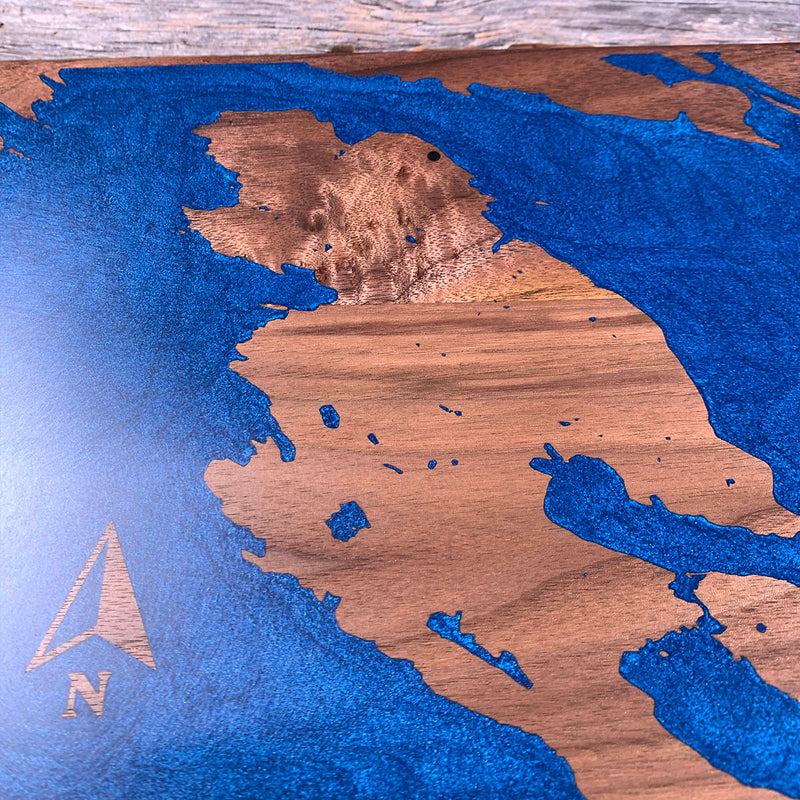
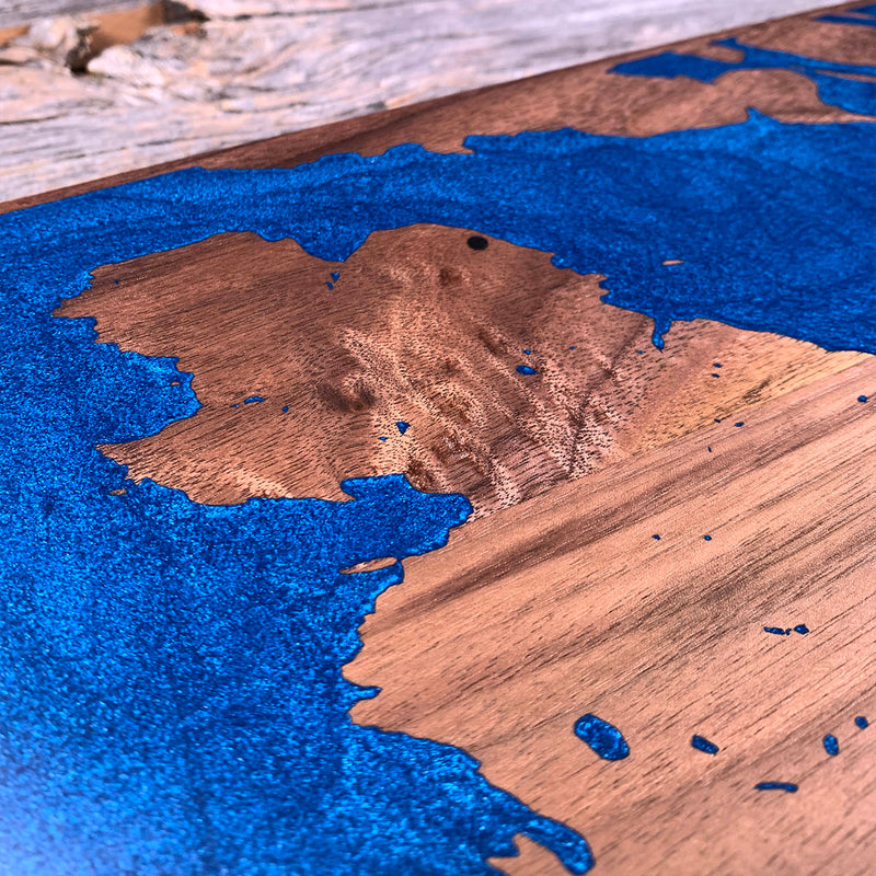
Blue runs off all four sides, so the whole perimeter is dammed and the board floods in one go. The lettering and the arrow are unengraved walnut standing inside the pour, so they went under the blue and came back at the sanding stage. The coast is the work: dozens of separate island shapes with narrow water between them, and the canal itself is a cut narrower than most of the engraving on the board. Walnut is the forgiving wood for a flood this size, tighter grained than maple or cherry.
Waypoints close by
 Hurricane HillOlympic National Park, Washington, USA
 Chilliwack RiverBritish Columbia, Canada
 Island LakeShelton, Washington, USA
 Desolation SoundDesolation Sound, British Columbia, Canada
Also from our workshop
 Howl
From
Howl
From  Kodiak
From
Kodiak
From  Nomad
From
Nomad
From  Summit
From
Summit
From Where this is
48.7756726, -123.2592755