

3D Printed
Mount St. Helens
Skamania County, Washington, USA
Also known as Mount Saint Helens, Loowit, Spirit Lake, Gifford Pinchot National Forest
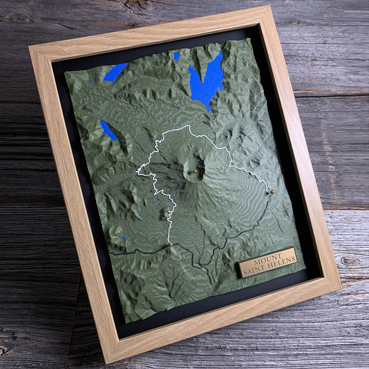
Every lake on this board was made or remade on a single morning in May 1980.
At 8:32 on May 18, an earthquake beneath the volcano dropped its entire north face. The debris avalanche that followed is the largest in recorded history. It buried 24 square miles of the upper Toutle valley, and the lateral blast behind it killed 57 people.
After that the water had nowhere to go. The avalanche blocked the outlet of Spirit Lake, the forked shape at the top of this board, and lifted its surface roughly 200 feet. It also dammed Coldwater Creek and South Fork Castle Creek, and the two lakes on the west side of the board did not exist before that morning. Both would have overtopped their debris dams by early 1982, so engineers cut spillways in 1981 to hold them steady.
Spirit Lake still carries a raft of blown down trees across its surface, more than forty years on.
Details
- Feature
- Terrain
- Build
- 3D Printed
- Material
- Dark Green PLA
- Colour
- Marine Blue
- Size
- 10-3/4" x 8-3/4"
- Completed
- November 2025
How this one was made
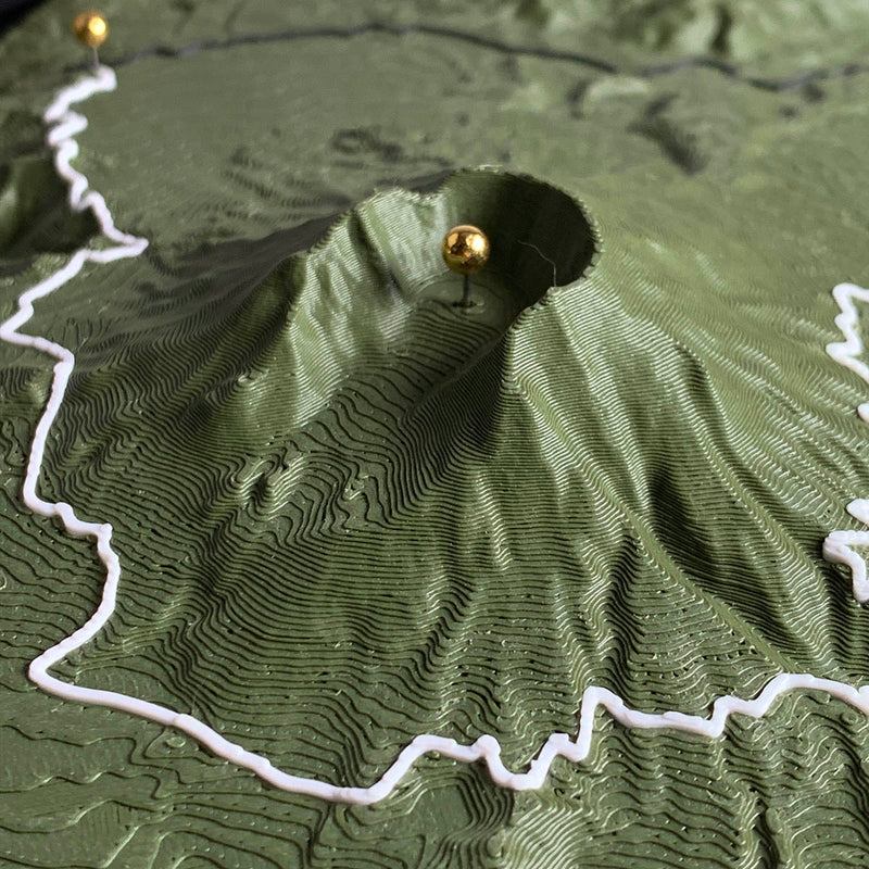
Flush again, and of the three prints this is where the setting does the most work. Mount St. Helens still stands about a mile above the valleys around it even after losing its top, and at true to life or exaggerated the cone would have taken the board and left everything at the edges as a flat surround. Flush brings the summit level with the frame and keeps the ridges and drainages out at the margins in the picture.
The crater is a breach rather than a bowl. It opens north, and the inside wall drops away from the rim in one step, so the shape has to be got right from the source data because there is nothing to smooth it against.
Two traced lines here in two colours, which is a first. The white is the Loowit Trail, a full circuit of the mountain, and it is the longest and most detailed spline run we have done. Forest Road 83 is the black line coming up from the south. Every turn on both is placed by hand, and on a loop that long the tracing is most of the build time before the printer ever starts.
Marked on this piece
- Loowit Trail
- Forest Road 83
Waypoints close by
 ColtonClackamas County, Oregon, USA
 Island LakeShelton, Washington, USA
 Hurricane HillOlympic National Park, Washington, USA
 Chilliwack RiverBritish Columbia, Canada
Also from our workshop
 Summit
From
Summit
From  Peak
From
Peak
From  Nomad
From
Nomad
From  Kodiak
From
Kodiak
From Where this is
46.199198566, -122.189137276