

3D Printed
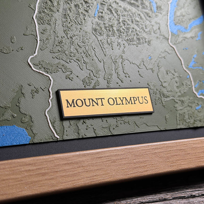
Mount Olympus
Jefferson County, Washington, USA
Also known as Olympic National Park, Blue Glacier, Hoh Rainforest, Olympic Peninsula
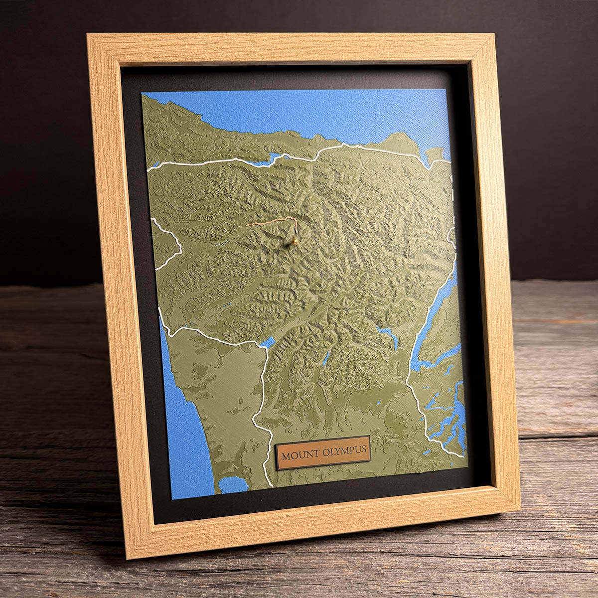
Mount Olympus is under 8,000 feet and carries seven glaciers.
That combination is the whole point of this mountain. At 7,980 feet it is modest by western standards, and it sits at a latitude where you would not expect permanent ice at that height. What it has instead is weather. The peninsula is the first thing Pacific storms meet, and the rainforest at the foot of the mountain takes 140 to 167 inches of precipitation a year. On the summit that arrives as snow, year after year, faster than it melts.
The Blue Glacier on the north side is the largest, covering about two square miles and roughly 900 feet thick at its deepest. All of them are retreating. Blue lost 325 feet of length between 1995 and 2006 and is thinning as it goes.
The nearest public road ends more than four miles away. The walk in from the Hoh is seventeen.
Details
- Feature
- Terrain
- Build
- 3D Printed
- Material
- Dark Green PLA
- Colour
- Marine Blue
- Size
- 10-3/4" x 8-3/4"
- Completed
- February 2026
How this one was made
True-to-life on this one, meaning real elevation with no scaling applied. That is the right call here and it is a different judgement from the Flush boards earlier in this run.
Flush works when a landscape is either too flat to read or too steep to fit. The Olympics are neither. It is a dense field of ridges and valleys with no single dominant peak, so there is nothing that would run away with the board at true scale. Scaling it would have flattened the texture that is the whole character of this range.
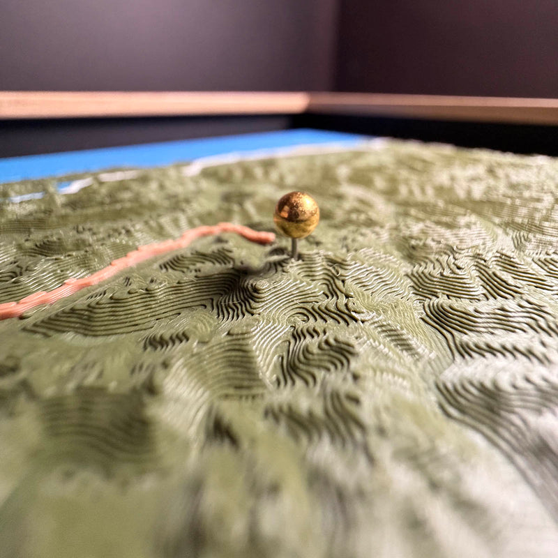
Two traced features in two colours. The white follows the coast and the highway around the peninsula, a long run at a consistent width. The copper is short and sits high on the mountain, and short runs are not easier. There is less line to hide a wobble in.
The brass pin is seated into the terrain at the summit rather than resting on top of it.
Water is a separate colour region, and here it wraps three sides of the board.
Marked on this piece
- Blue Glacier
- Hoh River Trail
Waypoints close by
 Hurricane HillOlympic National Park, Washington, USA
 Island LakeShelton, Washington, USA
 Chilliwack RiverBritish Columbia, Canada
 Desolation SoundDesolation Sound, British Columbia, Canada
Also from our workshop
 Peak
From
Peak
From  Nomad
From
Nomad
From  Kodiak
From
Kodiak
From  Howl
From
Howl
From Where this is
47.790485476, -123.713571255