

Epoxy
Mayne Island
British Columbia, Canada
Also known as Miners Bay, Gulf Islands, Active Pass
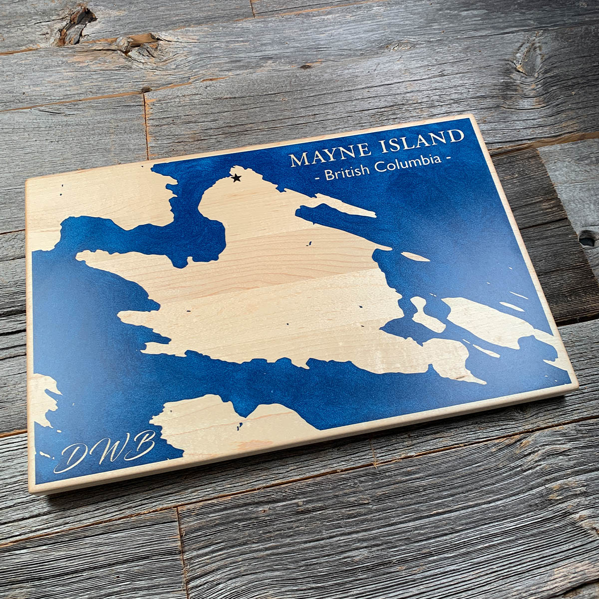
For forty years this island grew tomatoes under glass. On 21 April 1942 the people who grew most of them were taken away.
Richard Hall came home from the First World War and built a greenhouse on Mayne so large that horse drawn cultivators could be driven down the middle of it. Japanese Canadian families followed his lead, and by the 1930s there were something like eight acres of glass on the island. A good deal of the local economy ran through those farms.
Then came the order removing people of Japanese descent from the coast. On the morning of 21 April 1942 the CPR steamer Princess Mary came into Miners Bay for about fifty Japanese men, women and children. Most of the island came down to the wharf to shake their hands and see them off. They did not come back.
There is a Japanese garden at Dinner Bay now, laid out on one of the old farms.
Details
- Feature
- Coastline
- Build
- Epoxy
- Material
- Solid Maple
- Colour
- Ocean Blue
- Size
- 10-1/2" x 16"
- Completed
- February 2025
How this one was made
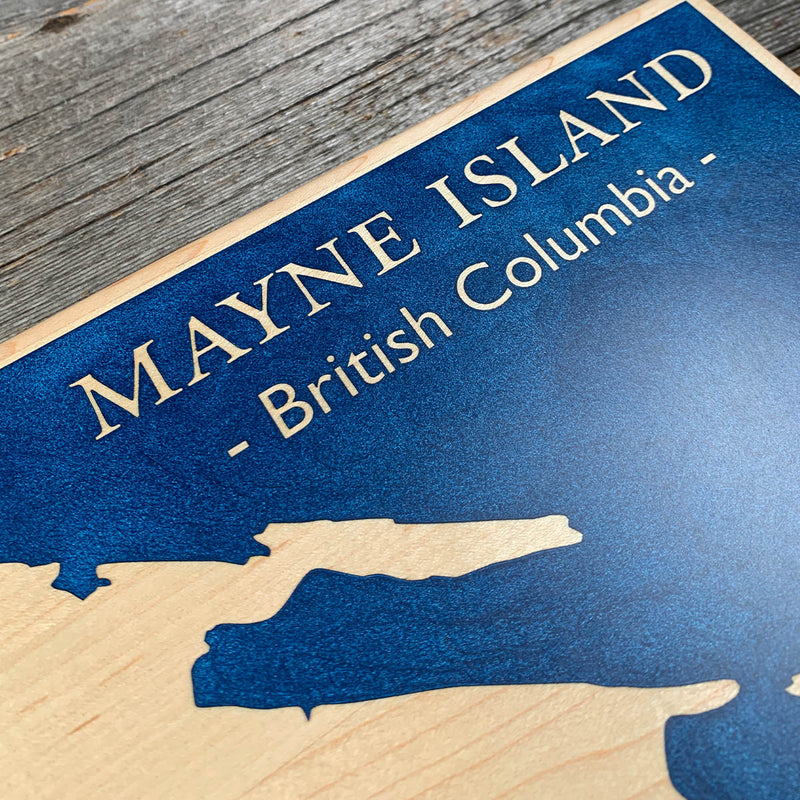
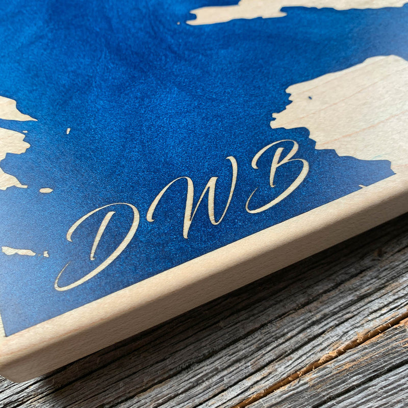
The water runs off every edge, so the whole perimeter is dammed before the pour begins. Maple underneath is the other consideration. It is pale and open enough that blue will wick straight into the grain wherever a surface is left unsealed, and on a board this size there is a great deal of surface to miss. Sealed thoroughly, then poured all at once.
Waypoints close by
 Hurricane HillOlympic National Park, Washington, USA
 Chilliwack RiverBritish Columbia, Canada
 Island LakeShelton, Washington, USA
 Desolation SoundDesolation Sound, British Columbia, Canada
Also from our workshop
 Seaside
From
Seaside
From  Cascade
From
Cascade
From  Sanctuary
From
Sanctuary
From  Peak
From
Peak
From Where this is
48.8419, -123.285