

Epoxy
Manitouwabing Lake
Parry Sound, Ontario, Canada
Also known as Manitouabing, Lake Manitouwabing
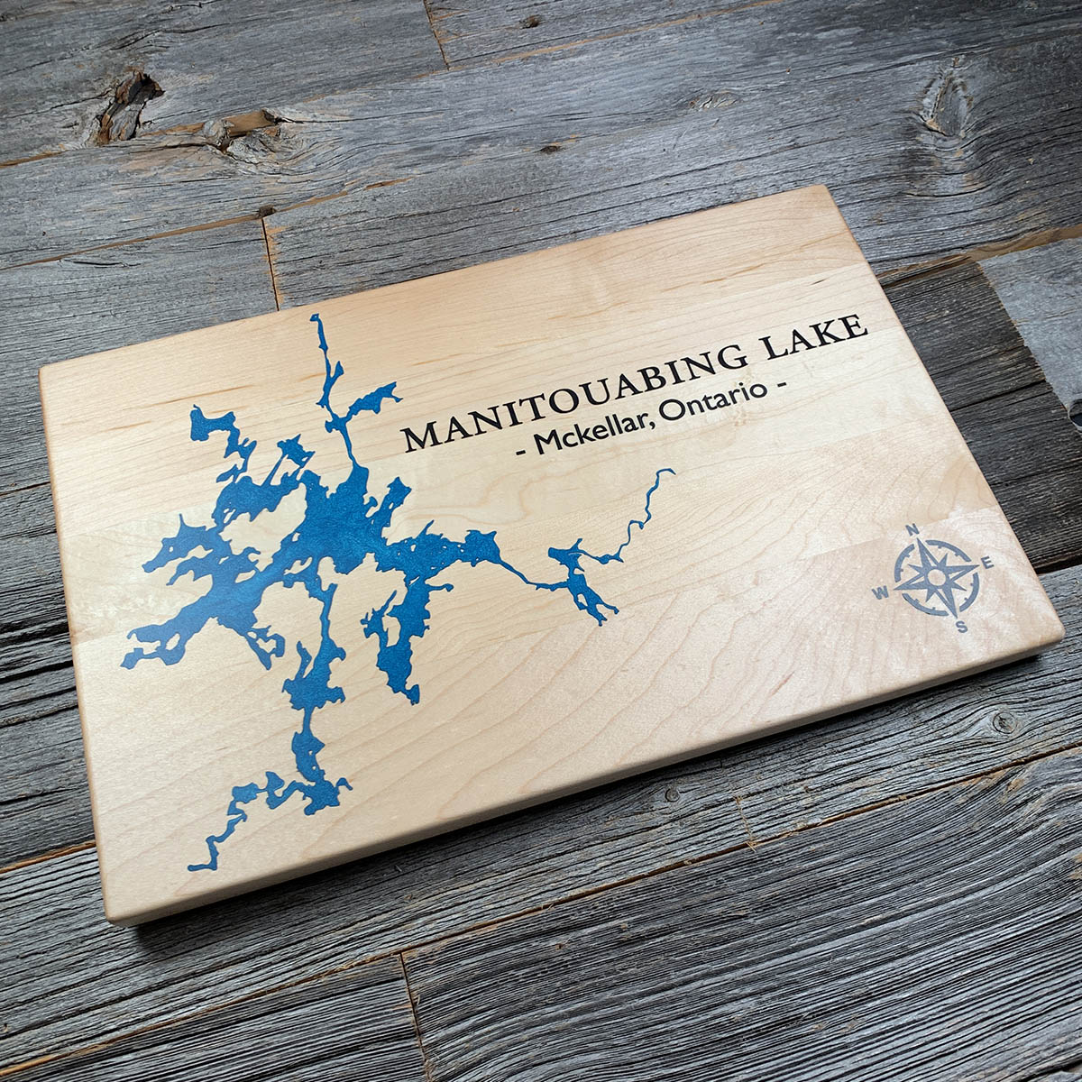
Manitouwabing runs about eighteen kilometres end to end and carries close to a hundred and twenty kilometres of shoreline. It is almost all edge.
That ratio is what the Canadian Shield does to water. The bedrock underneath is ancient and heavily fractured, scoured by ice and left full of ridges and troughs, so the lake fills a network of channels, narrows and dead end bays rather than settling into one basin. For its size there is very little open water on it.
The lake sits in McKellar Township in the Parry Sound District, on land that has been Anishinaabe territory for centuries. Water leaving it runs down the Manitouwabing River into the Seguin, and reaches Georgian Bay at the town of Parry Sound.
Details
- Feature
- Lake
- Build
- Epoxy
- Material
- Solid Maple
- Colour
- Caribbean Blue
- Size
- 10-1/2" x 16"
- Completed
- December 2024
How this one was made
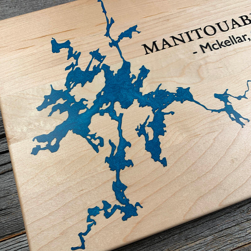
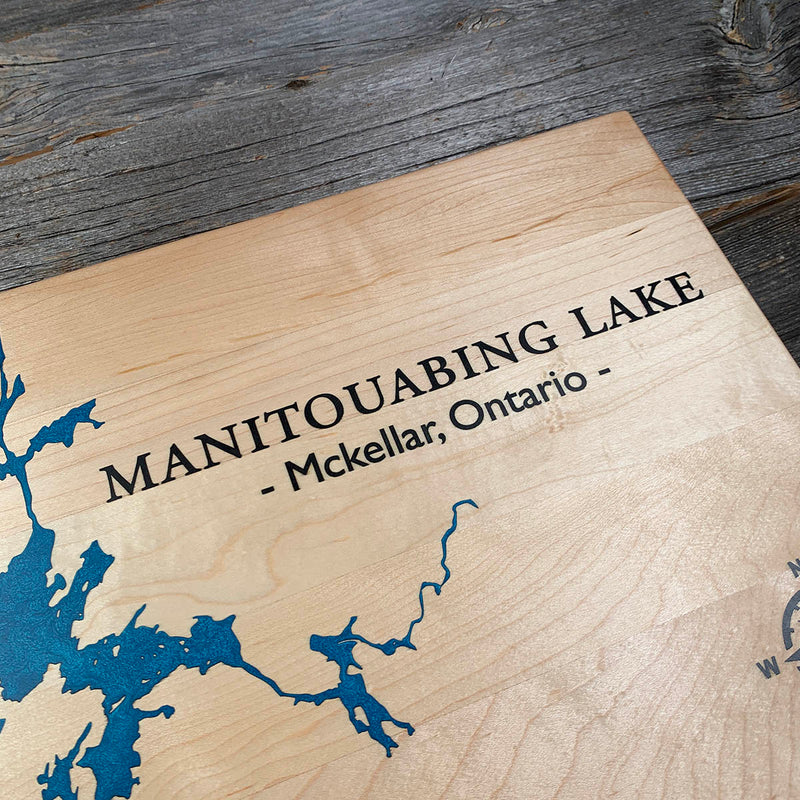
Maple again, and this time carrying two colours that both want to move into it. Blue and black will each wick into pale open grain if the surface is not sealed properly first, and black is the less forgiving of the two, because any bleed reads as a smudge rather than as a shade. The shape does not help. This shoreline breaks into hundreds of narrow arms and islands, which is a great deal of edge for colour to find its way past.
Marked on this piece
- McKellar
Waypoints close by
 Commanda LakeOntario, Canada
 Kawawaymog LakeNipissing District, Ontario, Canada
 Kahshe LakeGravenhurst, Ontario, Canada
 Eels LakeNorth Kawartha, Ontario, Canada
Also from our workshop
 Moose Tracks
From
Moose Tracks
From  Howl
From
Howl
From  Kodiak
From
Kodiak
From  Nomad
From
Nomad
From Where this is
45.4726, -79.8996