

Epoxy
Kawawaymog Lake
Nipissing District, Ontario, Canada
Also known as Round Lake
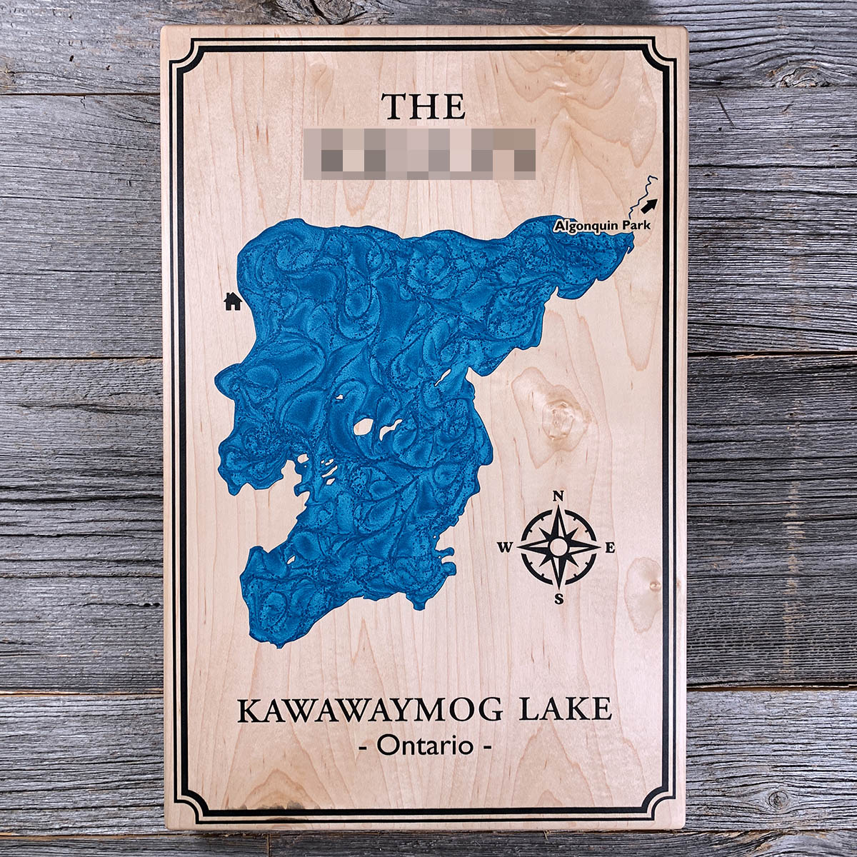
Kawawaymog sits just outside Algonquin, and for a great many canoe trips it is where the park begins. This is Access Point 1.
Locally it is called Round Lake. From the docks you paddle east into the Amable du Fond, a narrow winding river with a couple of short portages, and a few hours later the water opens into North Tea Lake and you are properly inside the park. Thousands of trips a year push off from this shoreline.
The river does not stop there. The Amable du Fond carries on through Manitou Lake into the Mattawa, which joins the Ottawa, which joins the St Lawrence. Water leaving this lake has an unbroken route to the Atlantic. Most of the people who launch here only follow it for a week.
Details
- Feature
- Lake
- Build
- Epoxy
- Material
- Solid Maple
- Colour
- Caribbean Blue
- Size
- 10-1/2" x 16"
- Completed
- June 2025
How this one was made
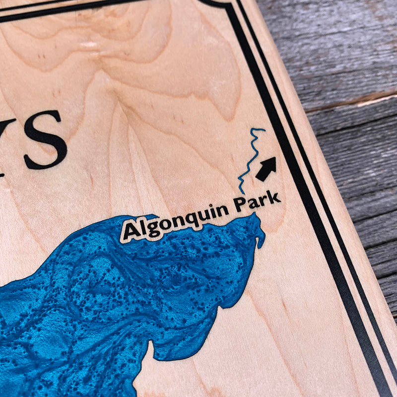
The Algonquin Park label and its arrow sit close enough to the shoreline that the two pours want to run into each other. Keeping the line clean means building temporary dams along that edge, letting the blue cure, then pulling the dams before the lettering goes in. Small text hard against a large pour is one of the more delicate things we do.
Marked on this piece
- Algonquin Park
- Amable du Fond River
- North Tea Lake
- South River
Waypoints close by
 Commanda LakeOntario, Canada
 Kahshe LakeGravenhurst, Ontario, Canada
 Eels LakeNorth Kawartha, Ontario, Canada
 Lac BlaskieOtter Lake, Quebec, Canada
Also from our workshop
 Moose Tracks
From
Moose Tracks
From  Howl
From
Howl
From  Kodiak
From
Kodiak
From  Nomad
From
Nomad
From Where this is
45.9156, -79.172