

Epoxy
Eels Lake
North Kawartha, Ontario, Canada
Also known as Eel's Lake, Apsley, North Kawartha
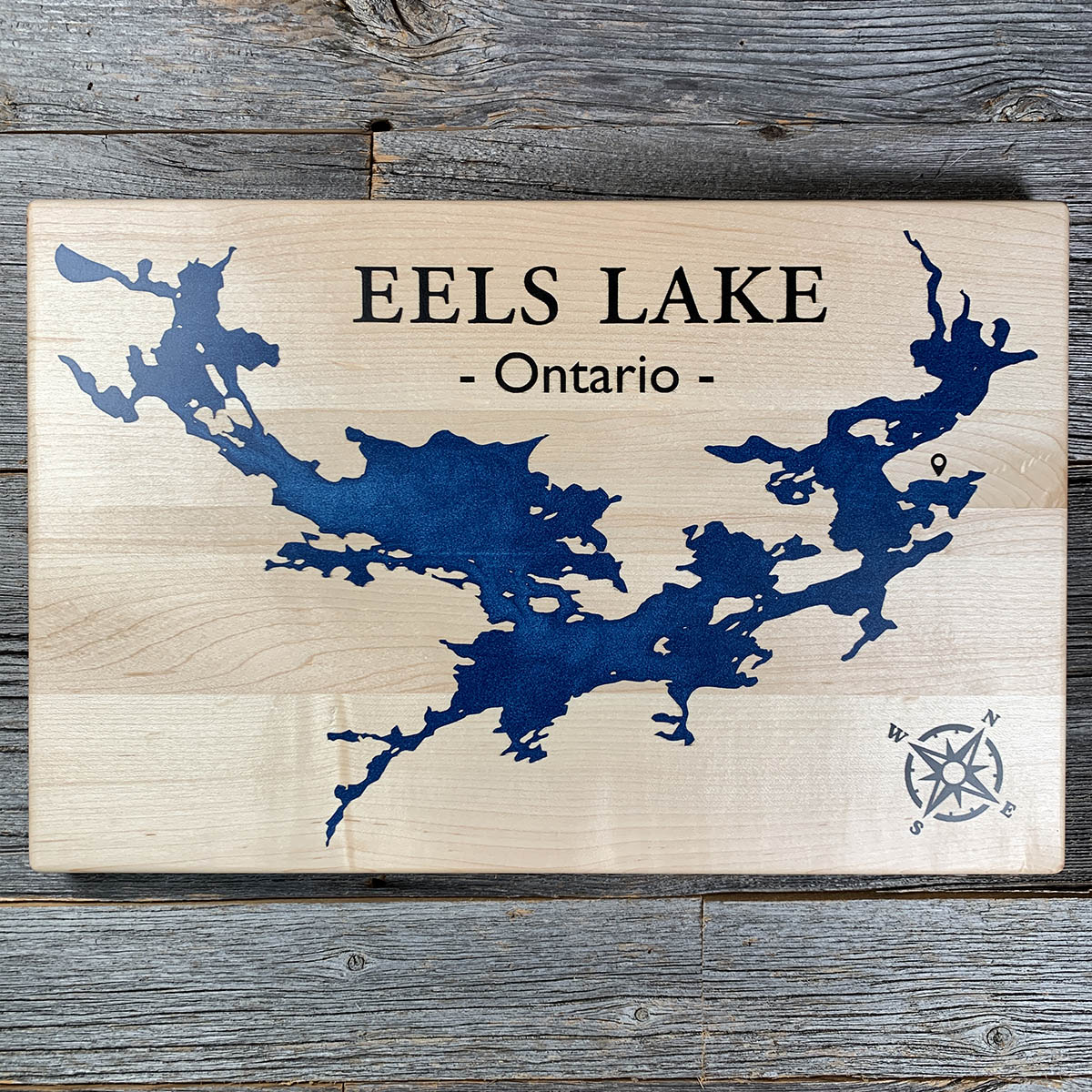
Eels Lake is not named for eels. It takes its name from Eel Cow, an Ojibwe chief who held the country here in the early 1800s.
The lake south of it is Jack Lake, and by local accounts Jack Cow was his brother, known as Handsome Jack. Jack held the country north of Stony Lake, and Eel's family used the ground beyond it.
Eels Creek runs into the lake and out of it again, south toward Stony. Beyond the height of land north of here the water turns the other way, toward the Ottawa.
The lake runs about eleven kilometres with more than fifty kilometres of shoreline, most of it broken into bays and islands. It is a Trent-Severn reservoir now and drops two or three metres over a season. Ice fishing is not permitted; the lake is a sanctuary.
Details
- Feature
- Lake
- Build
- Epoxy
- Material
- Solid Maple
- Colour
- Ocean Blue
- Size
- 10-1/2" x 16"
- Completed
- March 2025
How this one was made
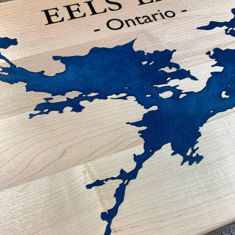
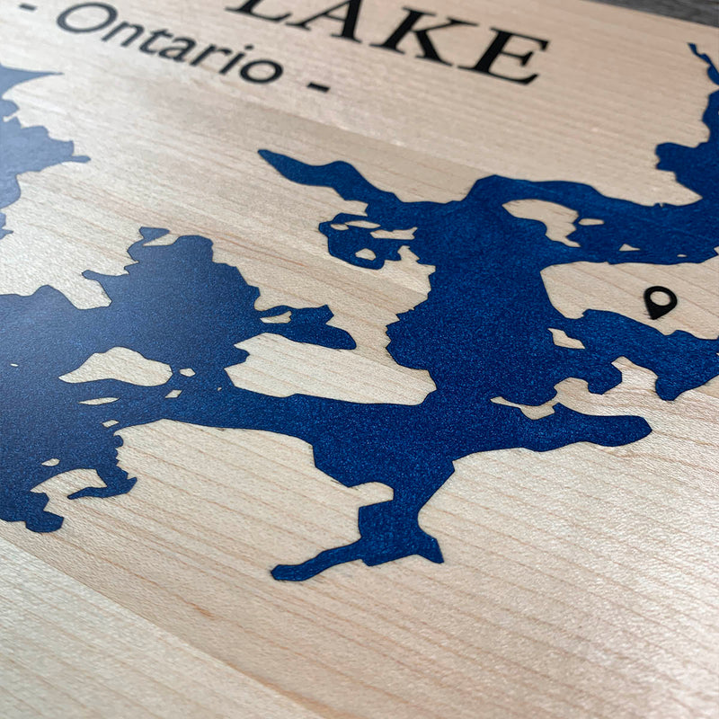
Not a wall to wall board, so the dam follows the waterline about half an inch out and the flood runs along the shore rather than across the face. That keeps the epoxy where it is wanted and holds the staining exposure inside a narrow band, which matters more on maple than on anything else we use. Eels Lake makes that band hard work: the outline is nothing but bays, points and islands, and the narrow water between them is where air lodges with nowhere to go. The pin and the compass sit out on their own in the bare wood, each with its own dam.
Waypoints close by
 Kahshe LakeGravenhurst, Ontario, Canada
 Kawawaymog LakeNipissing District, Ontario, Canada
 Buck LakeSouth Frontenac, Ontario, Canada
 Commanda LakeOntario, Canada
Also from our workshop
 Moose Tracks
From
Moose Tracks
From  Howl
From
Howl
From  Kodiak
From
Kodiak
From  Nomad
From
Nomad
From Where this is
44.8921, -78.1384