

Epoxy
Lake Temiskaming
Quebec, Canada
Also known as Lake Timiskaming, Lac Témiscamingue
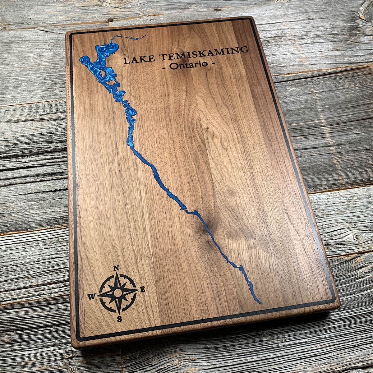
Lake Temiskaming is a crack in the continent that never finished opening. It runs 110 kilometres and is in places only a few hundred metres wide.
The lake sits in the Timiskaming Graben, a rift valley that began pulling apart when the Iapetus Ocean opened and then stopped. The crust dropped between two fault lines and stayed down. That is why the shape reads so differently from a glacial lake: long, straight and narrow, following a fault rather than the path of ice.
It is also genuinely deep. The surface sits about 178 metres above sea level and the bottom reaches 216 metres down, which puts the floor of the lake below sea level. The Algonquin name says the same thing. Temikami comes from tim, deep, and kami, open water.
The rift has not gone quiet. This is one of the more seismically active corners of eastern Canada, and a substantial earthquake struck here in 1935.
Details
- Feature
- Lake
- Build
- Epoxy
- Material
- Solid Walnut
- Colour
- Ocean Blue
- Size
- 10-1/2" x 16"
- Completed
- December 2024
How this one was made
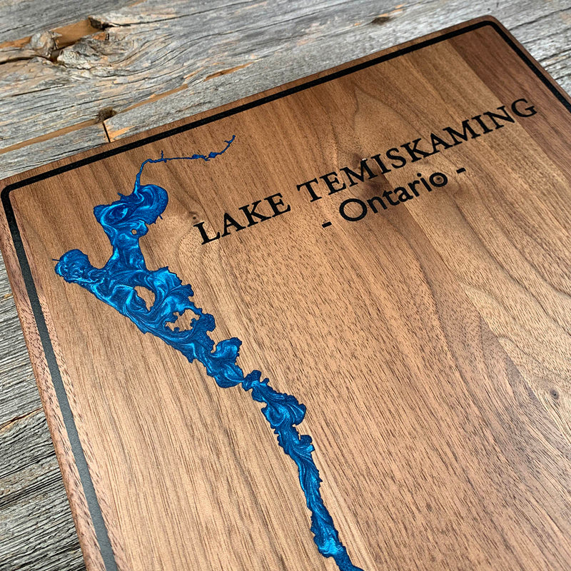
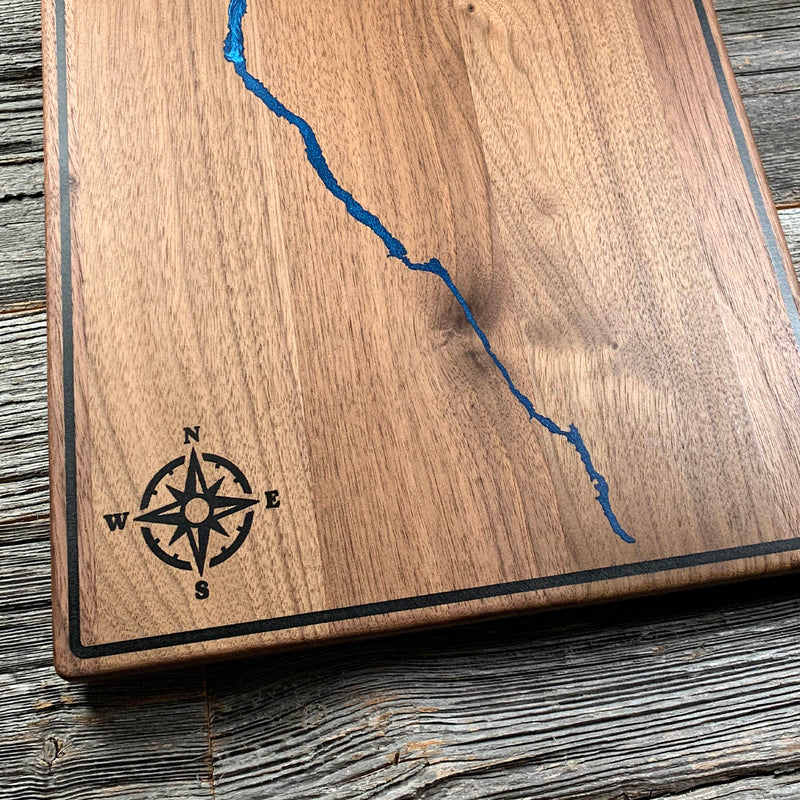
Two colours on this one. The black border runs close to all four edges and is dammed and poured on its own before the water goes anywhere near it. The lake then narrows to almost nothing at both ends, and those tips are the fussy part: a channel that fine takes resin slowly and will hold onto air if you hurry it.
Marked on this piece
- Lake Temiskaming
- Ontario
Waypoints close by
 Commanda LakeOntario, Canada
 Kawawaymog LakeNipissing District, Ontario, Canada
 Kahshe LakeGravenhurst, Ontario, Canada
 Eels LakeNorth Kawartha, Ontario, Canada
Also from our workshop
 Howl
From
Howl
From  Kodiak
From
Kodiak
From  Nomad
From
Nomad
From  Summit
From
Summit
From Where this is
47.40395, -79.52433