

Epoxy
Lake Cumberland
Burnside, Kentucky, USA
Also known as Burnside, Somerset, Jamestown
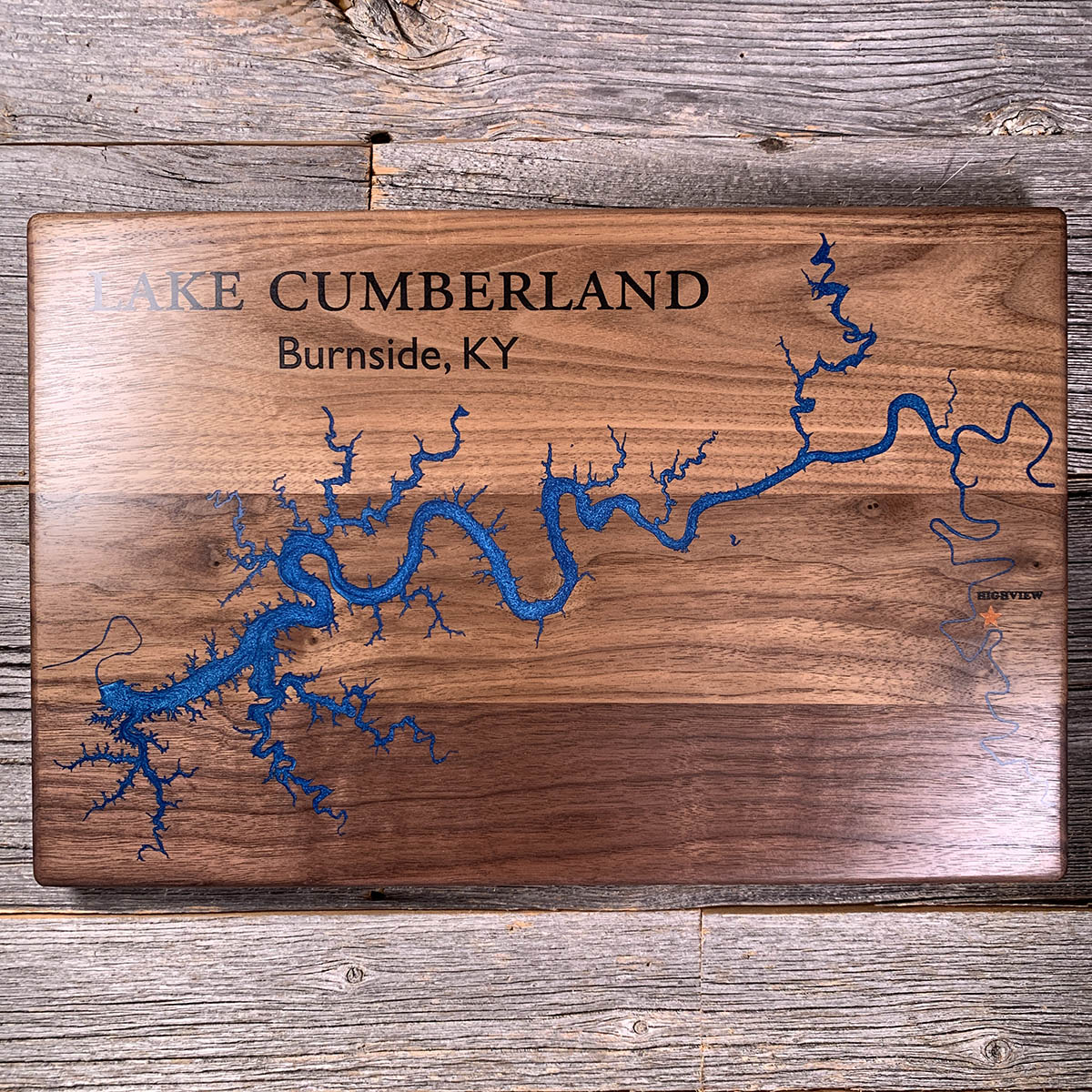
Wolf Creek Dam sits on limestone full of caves and channels, and for most of its life water has been finding its way underneath it.
The first sinkhole turned up in 1967. Grout went in from 1968 to 1970, then a concrete cut-off wall from 1975 to 1979, and the seepage came back anyway.
In January 2007 the Corps called it an emergency and started dropping Lake Cumberland. They had wanted 83 feet off; marinas and water supply argued it down to 40. In October that year they installed warning sirens in the towns below the dam.
The lake stayed low for about seven years while a new barrier wall went in, 282 feet deep in places. That finished in March 2013 and cost around $594 million. The water came back up in 2014.
Details
- Feature
- Lake
- Build
- Epoxy
- Material
- Solid Walnut
- Colour
- Ocean Blue
- Size
- 10-1/2" x 16"
- Completed
- March 2025
How this one was made
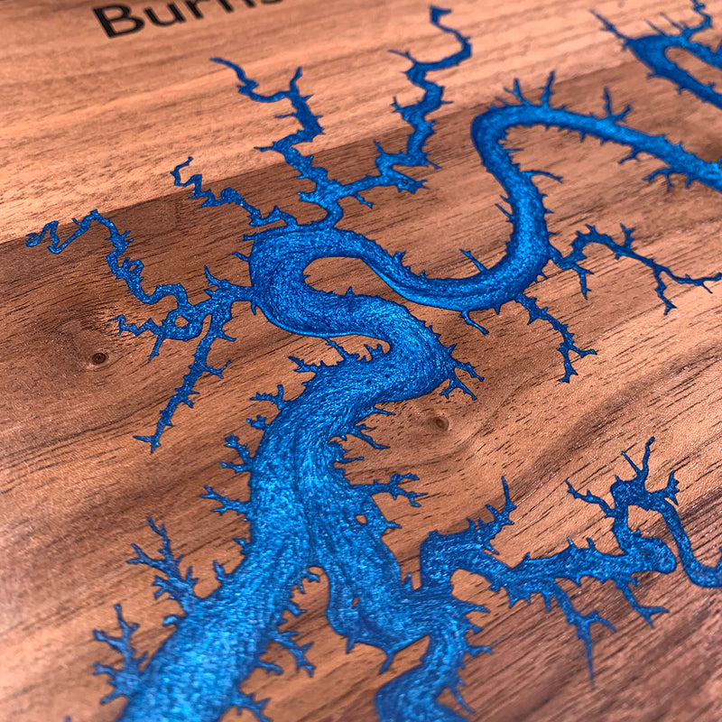
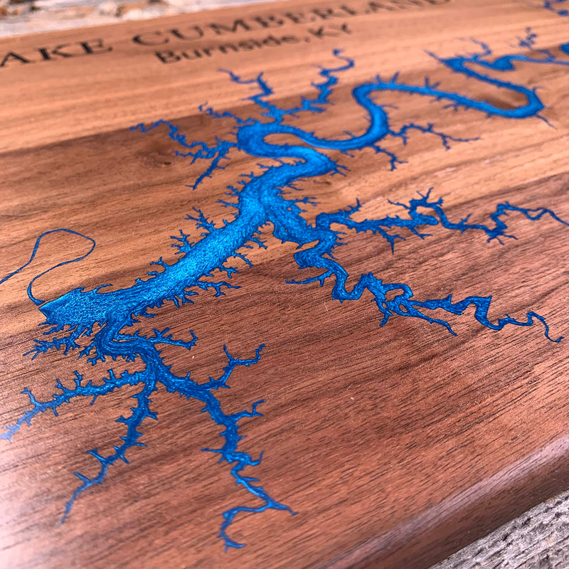
Not wall to wall, so the dam follows the waterline about half an inch out and the flood runs along the shore. That is a very long way on this one. Cumberland is a drowned river with hundreds of creek arms coming off it, most thinning to a hair before they end, and on arms that fine the half inch of margin on either side very nearly meets in the middle. The star is a separate color with a dam of its own, and the rivers east of the lake are hairlines with no width to help the pour move.
Marked on this piece
- Highview
Waypoints close by
 Dale Hollow LakeTennessee / Kentucky, USA
 Choctawhatchee BayFlorida, USA
 Forgotten CoastPanhandle, Florida, USA
 Greers Ferry LakeHeber Springs, Arkansas, USA
Also from our workshop
 Moose Tracks
From
Moose Tracks
From  Howl
From
Howl
From  Kodiak
From
Kodiak
From  Nomad
From
Nomad
From Where this is
36.8867945, -85.0518541