

Epoxy
White Lake
Woodgate, New York, USA
Also known as Woodgate, Forestport, Adirondack Park, Oneida County
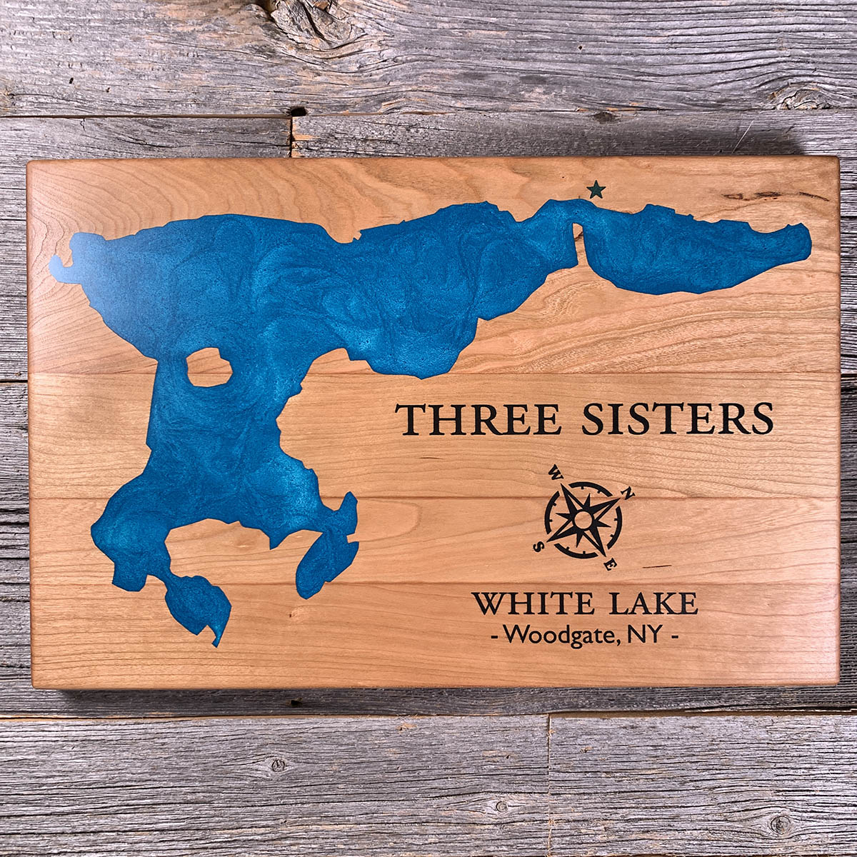
The Blue Line runs just south of this lake. Cross it and the rules change completely.
The Adirondack Park covers six million acres, which is larger than Yellowstone, Yosemite, Grand Canyon, Glacier and the Great Smokies put together. It is not a national park and not a state park. Roughly 2.6 million acres belong to New York State and the other 3.4 million are private, with 105 towns and villages inside the boundary.
The state land is protected by the constitution rather than by policy. In 1894 a convention added an article requiring that Forest Preserve land be kept forever as wild forest, and changing it needs a constitutional amendment passed twice by the legislature and then by the voters. Downstate water supply was as much the argument as wilderness was.
White Lake sits just inside the line. Woodgate, a couple of miles south, sits just outside it. This is the only part of Oneida County the park reaches.
Details
- Feature
- Lake
- Build
- Epoxy
- Material
- Solid Cherry
- Colour
- Caribbean Blue
- Size
- 10-1/2" x 16"
- Completed
- May 2025
How this one was made
Cherry, inset, with the dam following the waterline about half an inch out.
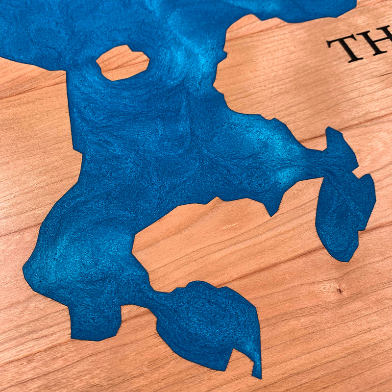
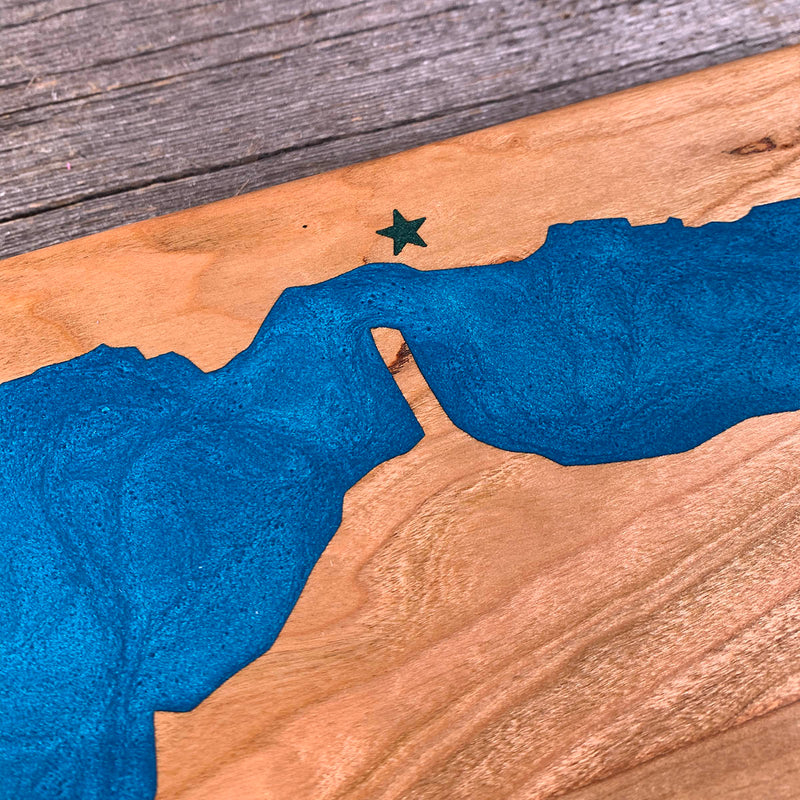
White Lake is a strange outline to dam. The main body runs wide across the top of the board, then drops south into a set of narrow legs and points that come to fine tips, and each of those is dammed on both sides down to the end. There is an island near the west side, ringed completely. The east arm runs off toward the edge as a separate long finger connected by a neck barely wider than the dam holding it.
Two colours, the water and the black. The black does the lettering, the compass rose and the star. Both the rose and the star are syringe fills, being shapes with points rather than curves, and the points are what have to hold.
Waypoints close by
 Buck LakeSouth Frontenac, Ontario, Canada
 Candlewood LakeDanbury, Connecticut, USA
 Lac BlaskieOtter Lake, Quebec, Canada
 Lac BoileauRivière-Rouge, Quebec, Canada
Also from our workshop
 Howl
From
Howl
From  Kodiak
From
Kodiak
From  Nomad
From
Nomad
From  Summit
From
Summit
From Where this is
43.543313211, -75.151524801