

3D Printed
Starovice
South Moravia, Czech Republic
Also known as Hustopeče, Břeclav District, South Moravia
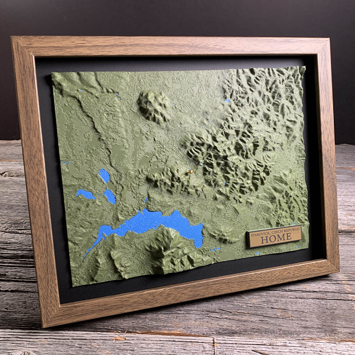
About 86 kilometres north of Vienna, the army of Marcus Aurelius built a fortified base deep inside Germanic territory.
This was the Marcomannic Wars, between 166 and 180. The base sat on a promontory called Hradisko, above the point where the Dyje, the Svratka and the Jihlava meet, with Roman walls and buildings spread across nearly 32 hectares.
Amber came down past it from the Baltic on its way to Italy, along the road that crossed the Danube at Carnuntum. When the Romans left, the place was used as a burial ground and then quarried for stone.
The water below it is not old. The Nové Mlýny reservoirs went in during the 1970s to stop the Dyje flooding, three of them in a row, now the largest body of water in Moravia.
Details
- Feature
- Terrain
- Build
- 3D Printed
- Material
- Dark Green PLA
- Colour
- Marine Blue
- Size
- 10-3/4" x 8-3/4"
- Completed
- December 2025
How this one was made
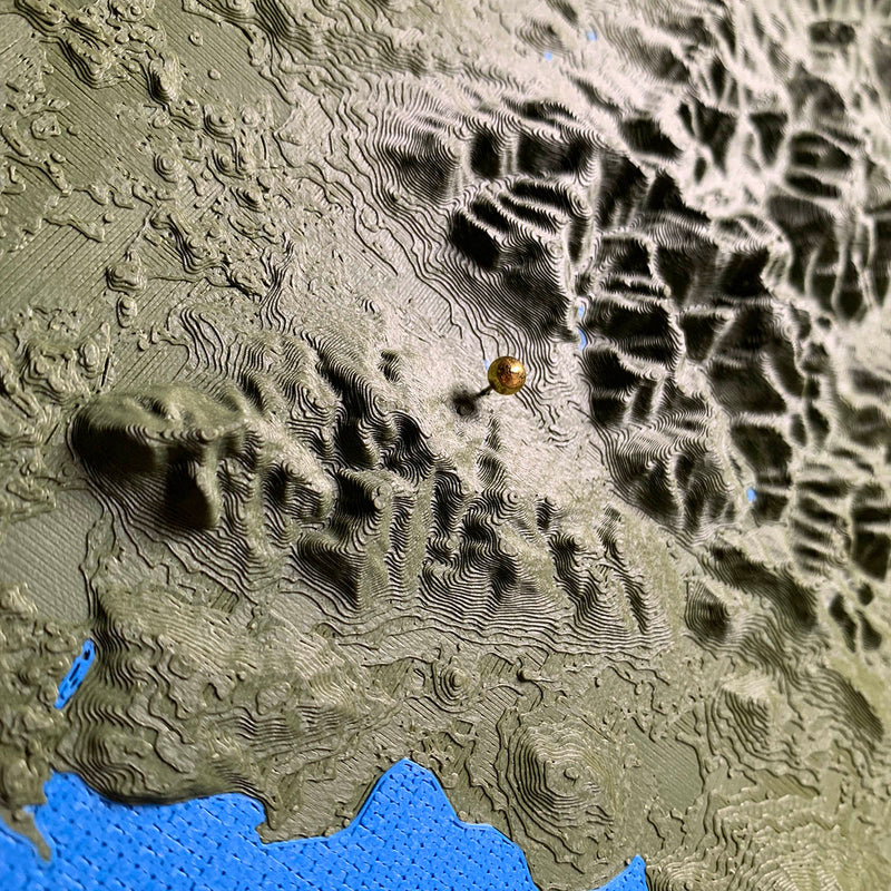
Three settings for terrain height, and this one came in on flush, which scales the model so the highest ground sits level with the frame rather than standing proud of it. It suits the piece. There is real relief in the upper right where the hills rise, and a long flat run of vineyard country below, and flush keeps both readable without the high ground taking over. The water is a second colour laid into the same print, which on a reservoir this size is most of the lower third of the board.
Waypoints close by
 Cobbosseecontee LakeWinthrop, Maine, USA
 Bailey IslandMaine, USA
 Beach PondConnecticut, USA
 Groton Long PointNew London County, Connecticut, USA
Also from our workshop
 Summit
From
Summit
From  Peak
From
Peak
From  Nomad
From
Nomad
From  Kodiak
From
Kodiak
From Where this is
48.954698673, 16.706899478