

Epoxy
Shuswap Lake
Columbia-Shuswap, British Columbia, Canada
Also known as Salmon Arm, Sicamous, Chase
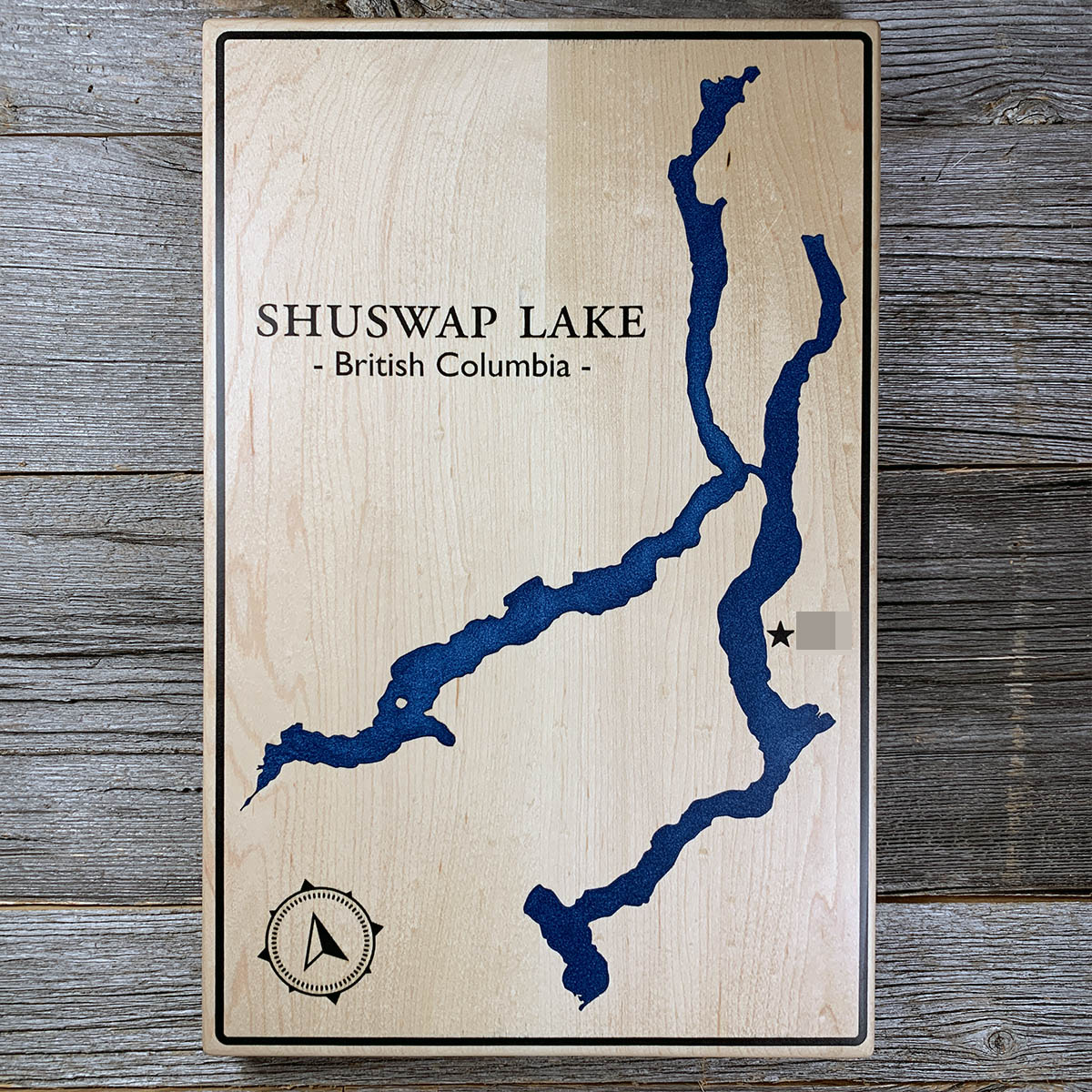
Shuswap Lake has four arms and they all meet in one place, a gap called Cinnemousun Narrows in the middle of the lake.
Salmon Arm runs southwest, the Main Arm west, Anstey Arm northeast and Seymour Arm north. The lake is 89 kilometres long end to end and never more than about five wide, with the arms cut deep into the mountains and steep ground coming straight down to the water.
Seymour Arm is the deepest at 161 metres. Much of the shoreline has no road to it, which is why the Shuswap is worked by boat rather than by car.
Everything upstream comes through here. The catchment behind the lake covers more than 17,000 square kilometres, and all of it leaves by one short river at the west end, the Little River, into Little Shuswap and then the Thompson.
Details
- Feature
- Lake
- Build
- Epoxy
- Material
- Solid Maple
- Colour
- Ocean Blue
- Size
- 10-1/2" x 16"
- Completed
- March 2025
How this one was made
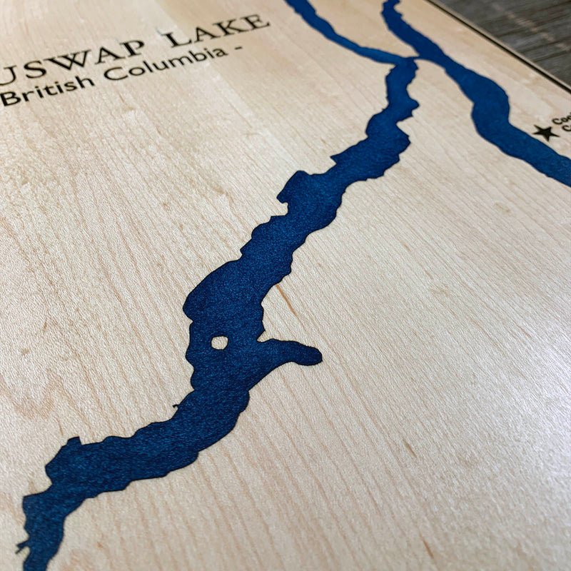
Not wall to wall, so the dam follows the waterline about half an inch out and the flood runs along the shore. On this one that is a long way. Four arms means four times the perimeter of a lake this size, and the arms are narrow enough that the dammed band is a thin ribbon most of the way round. The black line at the border is its own section with its own channel running the full outside, and so are the compass and the star, and maple is the wood with the least sanding margin, so the seal has to hold across all of it.
Waypoints close by
 Beaver LakeBritish Columbia, Canada
 Knouff LakeKamloops, British Columbia, Canada
 Kamloops LakeBritish Columbia, Canada
 Green LakeSouth Cariboo, British Columbia, Canada
Also from our workshop
 Moose Tracks
From
Moose Tracks
From  Howl
From
Howl
From  Kodiak
From
Kodiak
From  Nomad
From
Nomad
From Where this is
50.9521022, -119.1750315