

Epoxy
Kamloops Lake
British Columbia, Canada
Also known as Tk'emlúps, Thompson River, Savona
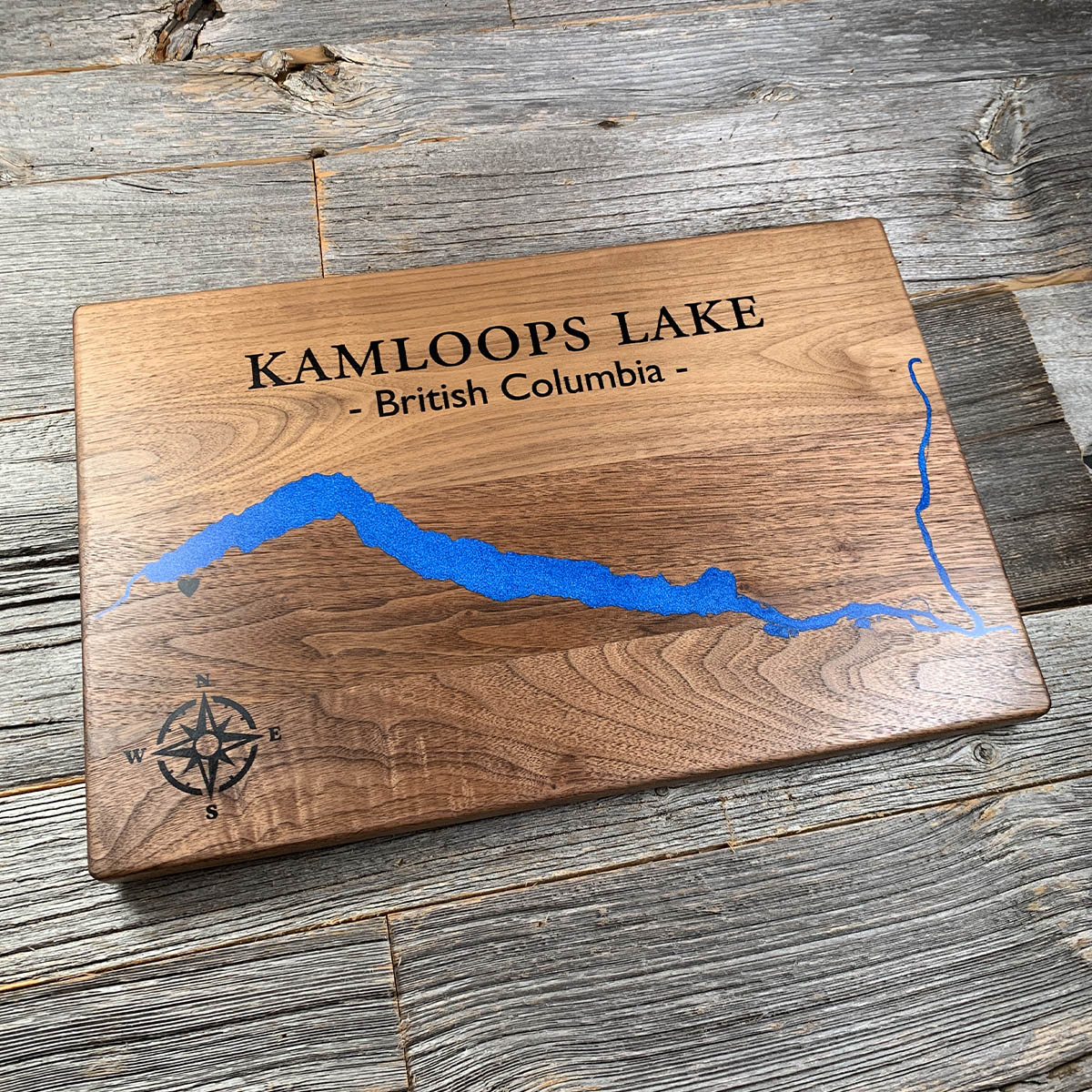
The name Kamloops describes a shape seen from above, which is more or less what this board is.
Tk'emlúps is the Secwépemc name for the confluence just east of here, where the North and South Thompson meet and become one river. It is usually given as meeting of the waters. The Secwépemc scholars Marianne and Ronald Ignace break it down further: t for on top of, ḱem for two things coming together at an angle, and ups, a body word for a rounded point of land. The name is a picture of the wedge of ground between the two rivers, and you have to be looking down on it to see what they meant.
The lake is the Thompson widened out. Twenty nine kilometres long, a kilometre and a half across, and a hundred and forty three metres deep at the deepest point. Steep bunchgrass and sagebrush hillsides run down to the water on both sides. This is dry country, with Douglas fir and ponderosa in the folds and not much else.
Details
- Feature
- Lake
- Build
- Epoxy
- Material
- Solid Walnut
- Colour
- Caribbean Blue
- Size
- 10-1/2" x 16"
- Completed
- January 2025
How this one was made
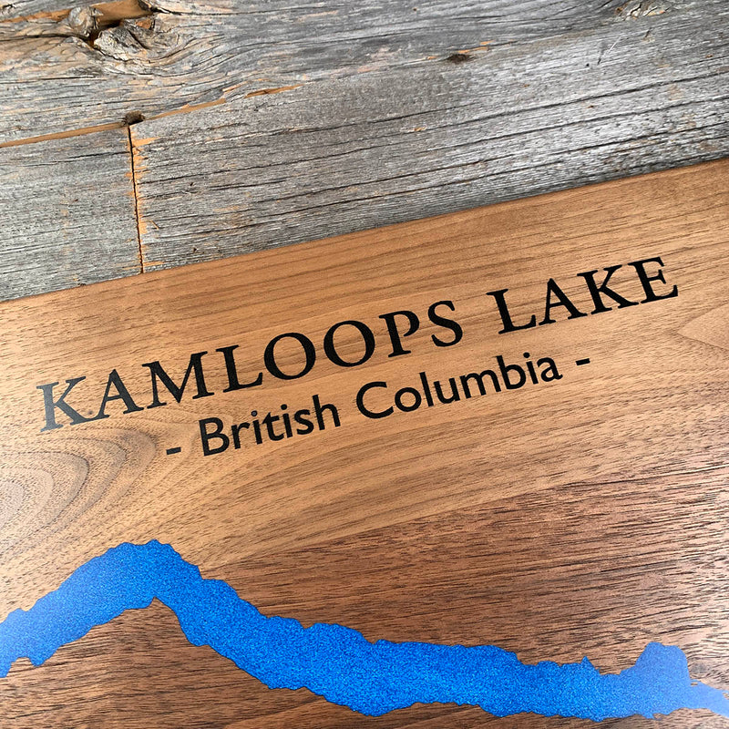
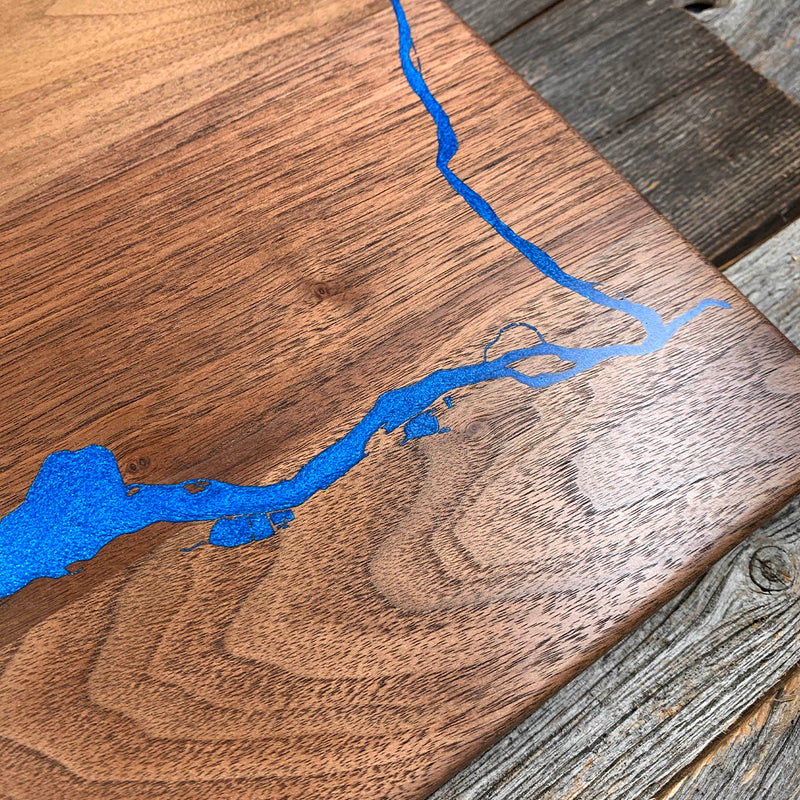
Another straightforward one. Two colours, the water and the lettering, dammed and poured separately. Kamloops Lake is really a wide stretch of river, so the shoreline runs long and clean, and only the thin channel of the Thompson at the eastern end asks for any particular care.
Waypoints close by
 Knouff LakeKamloops, British Columbia, Canada
 Green LakeSouth Cariboo, British Columbia, Canada
 Green LakeSouth Cariboo, British Columbia, Canada
 Green LakeBritish Columbia, Canada
Also from our workshop
 Howl
From
Howl
From  Kodiak
From
Kodiak
From  Nomad
From
Nomad
From  Summit
From
Summit
From Where this is
50.73438, -120.638