

Epoxy
Sheridan Lake
South Cariboo, British Columbia, Canada
Also known as Lone Butte, 100 Mile House, Bridge Lake
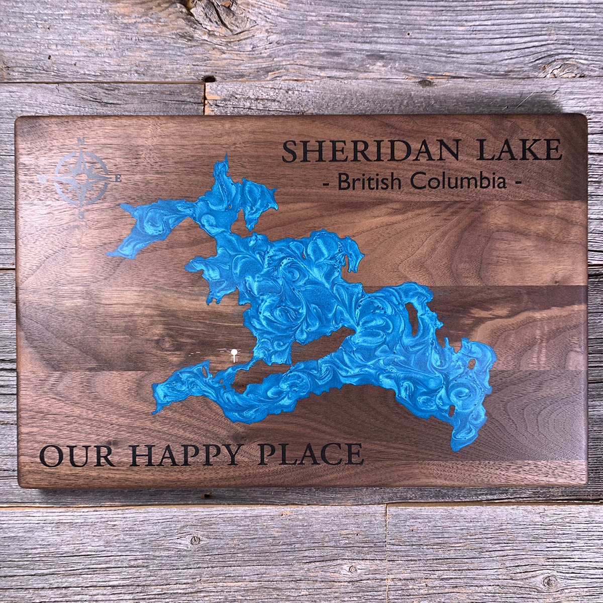
Sheridan Lake gets something like three hundred thousand rainbow trout put into it every year.
The lake runs about 1,660 hectares, spring-fed, with shallow shoals and weed beds through much of it. Freshwater shrimp and insect life are thick enough that the fish put on weight fast. The average rainbow runs about three pounds and every season produces some over ten.
Highway 24 between 100 Mile House and Little Fort is ninety-seven kilometres long and carries the highest concentration of fishing resorts in the province. People have been coming out here to fish since the early 1900s.
Almost none of it would work without the hatchery trucks. Fish over ten pounds are not an accident of nature here. They are the product of a stocking programme, a shrimp population and a road.
Details
- Feature
- Lake
- Build
- Epoxy
- Material
- Solid Walnut
- Colour
- Caribbean Blue
- Size
- 10-1/2" x 16"
- Completed
- March 2025
How this one was made
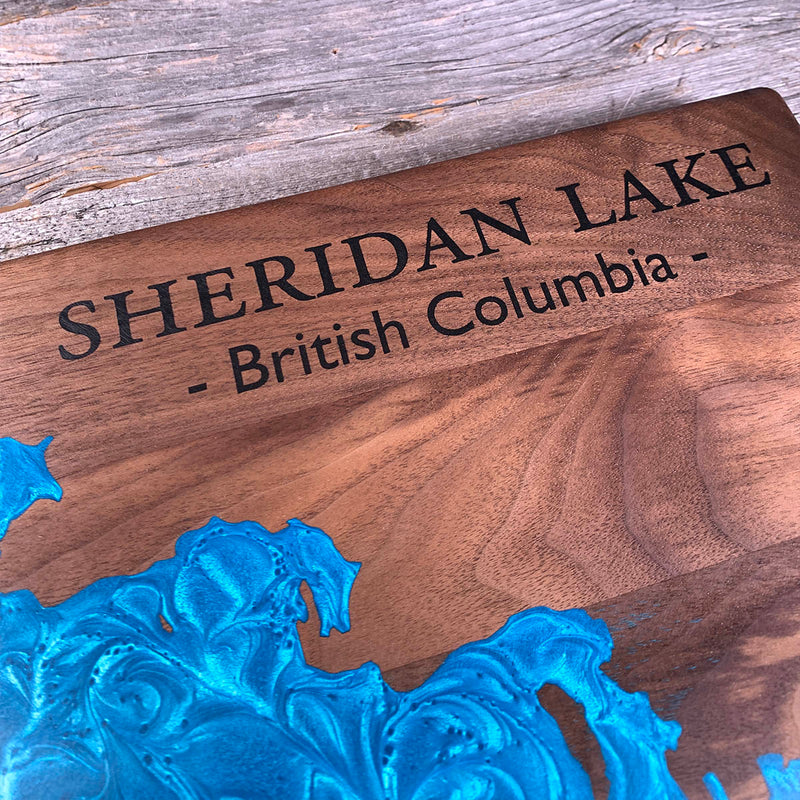
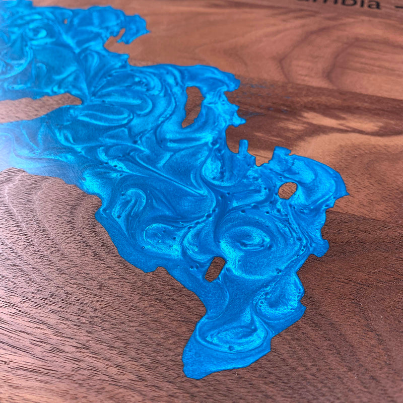
Not wall to wall, so the dam follows the waterline about half an inch out and the flood runs along the shore. Sheridan is one of the busier outlines we have poured, all bays and points and narrow passages, with islands sitting inside the water that each take their own shape in the pour. The pin is white, so it is a separate colour as well as a separate section, small and out on its own. Walnut is the forgiving wood underneath, which helps on a perimeter this long.
Waypoints close by
 Green LakeSouth Cariboo, British Columbia, Canada
 Green LakeSouth Cariboo, British Columbia, Canada
 Green LakeBritish Columbia, Canada
 Green LakeSouth Cariboo, British Columbia, Canada
Also from our workshop
 Howl
From
Howl
From  Kodiak
From
Kodiak
From  Nomad
From
Nomad
From  Summit
From
Summit
From Where this is
51.5199275, -120.9007013