

Epoxy
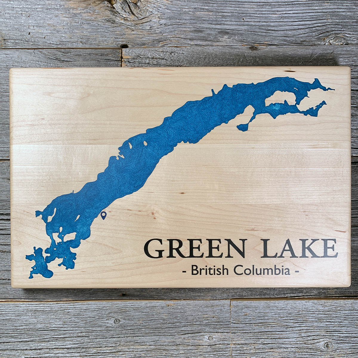
Green Lake
South Cariboo, British Columbia, Canada
Also known as 70 Mile House, South Cariboo, Interlakes
Before the wagon road, Hudson's Bay Company brigades came through Green Lake on the trail between Fort Kamloops and Fort Alexandria.
The brigades were pack trains moving furs south and trade goods north, and the route ran across this stretch of the Cariboo Plateau for decades before anyone laid a road to the goldfields.
The lake runs long and narrow northwest to southeast, open down the length of the valley. BC Parks advises against canoeing or kayaking because of the wind that gets up, and in the same breath calls the waterskiing conditions ideal.
The provincial park came in 1975 and covers about 350 hectares in three separate pieces around the shore. There are roughly eighteen public access points to the water. The way in is the North Bonaparte Road, about sixteen kilometres northeast of 70 Mile House.
Details
- Feature
- Lake
- Build
- Epoxy
- Material
- Solid Maple
- Colour
- Caribbean Blue
- Size
- 10-1/2" x 16"
- Completed
- March 2025
How this one was made
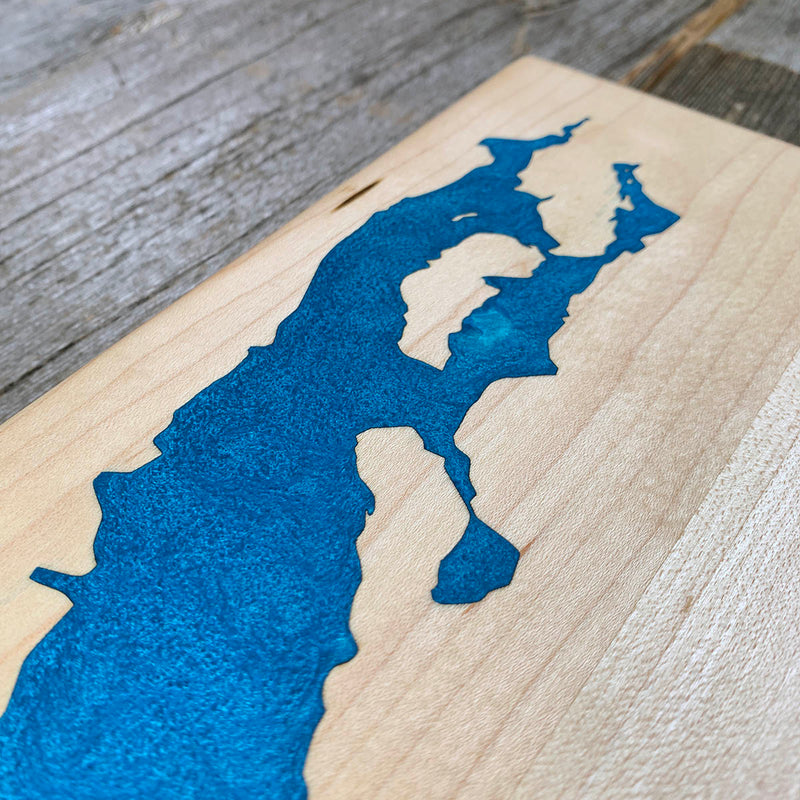
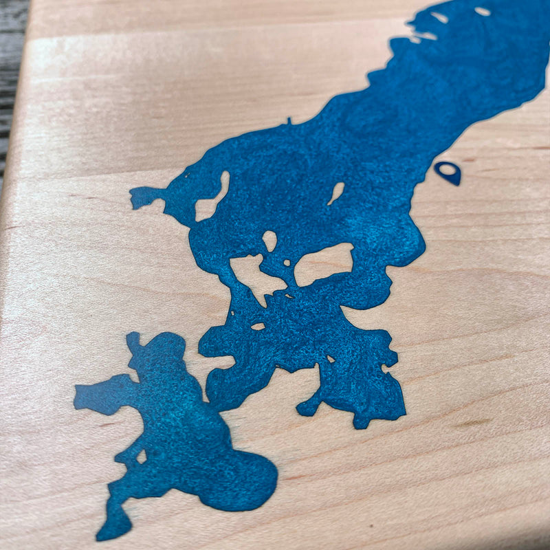
Not wall to wall, so the dam follows the waterline about half an inch out and the flood runs along the shore, which keeps the pour contained and the staining exposure narrow. Green Lake is long and thin with a shoreline that comes apart badly at the southwest end, breaking into small bays and islands. That end took most of the time. The main body is straightforward by comparison, and maple is the wood with the least sanding margin, so the seal has to hold before anything goes down.
Waypoints close by
 Green LakeSouth Cariboo, British Columbia, Canada
 Green LakeBritish Columbia, Canada
 Green LakeSouth Cariboo, British Columbia, Canada
 Kamloops LakeBritish Columbia, Canada
Also from our workshop
 Moose Tracks
From
Moose Tracks
From  Howl
From
Howl
From  Kodiak
From
Kodiak
From  Nomad
From
Nomad
From Where this is
51.4259713, -121.1858477