

Epoxy
Saugatuck Reservoir
Connecticut, USA
Also known as Valley Forge, Weston, Redding
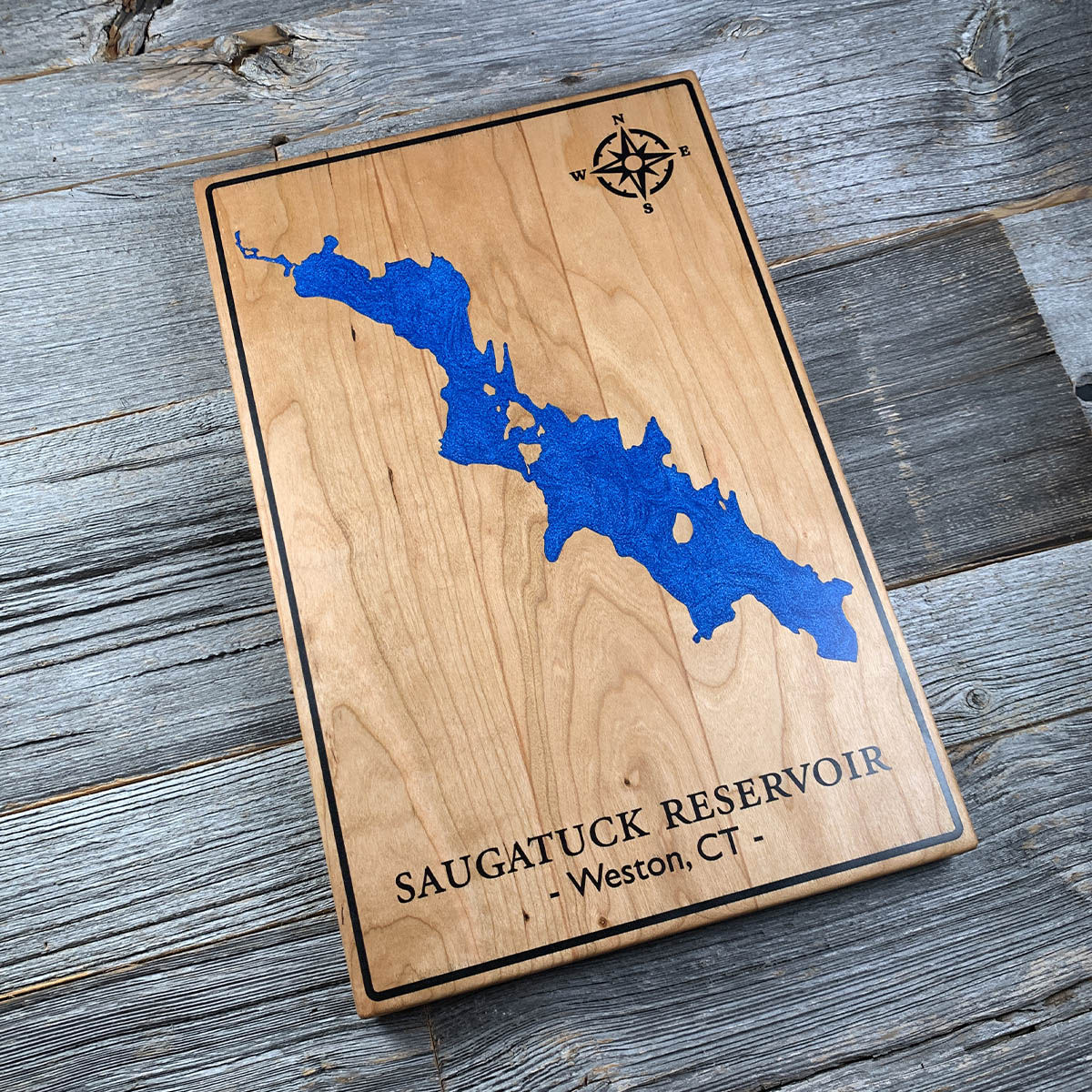
There is a village under this water. Valley Forge, an eighteenth century iron and steel town, flooded in the early 1940s to make drinking water.
The Bridgeport Hydraulic Company began buying land along the Saugatuck around 1920. In 1927 the Connecticut legislature gave it the power to condemn property outright, and by 1936 it held four and a half thousand of the five thousand acres it wanted. The Depression did a good deal of the work. Plenty of families were glad of the money. The ones who fought were mostly the wealthier newcomers, and they lost.
Two villages went under, Hull and Valley Forge. Valley Forge had mills, forges and farms and had been there since before the republic. The Samuel P. Senior dam closed in January 1942 and put something like twelve billion gallons over the top of it.
The reservoir still supplies the towns around it. Eight hundred and twenty seven acres, a hundred and ten feet at the deepest, thirteen miles of shoreline.
Details
- Feature
- Lake
- Build
- Epoxy
- Material
- Solid Cherry
- Colour
- Ocean Blue
- Size
- 10-1/2" x 16"
- Completed
- January 2025
How this one was made
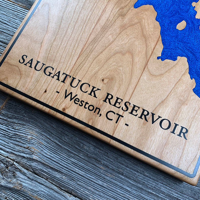
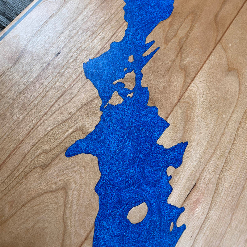
Two colours, the water and the border, each poured on its own. The border runs close to all four edges, so the perimeter gets dammed before anything else. Cherry underneath, which takes pigment readily, so the board is sealed thoroughly first. The reservoir itself has a long clean edge and only a couple of small islands to work around.
Marked on this piece
- Saugatuck Reservoir
- Weston
Waypoints close by
 Candlewood LakeDanbury, Connecticut, USA
 Cos Cob HarborGreenwich, Connecticut, USA
 Groton Long PointNew London County, Connecticut, USA
 Beach PondConnecticut, USA
Also from our workshop
 Howl
From
Howl
From  Kodiak
From
Kodiak
From  Nomad
From
Nomad
From  Summit
From
Summit
From Where this is
41.2670993, -73.36749