

Epoxy
Santorini
Greece
Also known as Thira, Thera
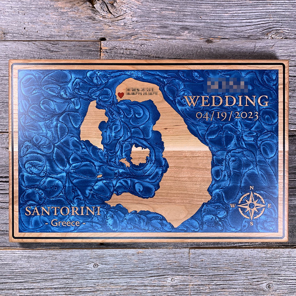
The curve of Santorini is the rim of a crater. Its centre blew out roughly 3,600 years ago and the Aegean rushed in to fill what was left.
The eruption was one of the largest in human history. It buried the Bronze Age town of Akrotiri under metres of ash, sent waves across to Crete, and may be the seed of Plato's story about a civilisation swallowed by the sea. What survived is a broken ring: Thira along the eastern arc, Thirasia opposite, and about 400 metres of water between them where a mountain used to stand.
The small islands at the centre are younger than the hole they sit in. Nea Kameni and Palea Kameni have been building up off the caldera floor for the last two thousand years, and the newer of the two last erupted in 1950. The blue on this board is not a bay. It is a crater with the sea in it.
Details
- Feature
- Coastline
- Build
- Epoxy
- Material
- Solid Cherry
- Colour
- Ocean Blue
- Size
- 10-1/2" x 16"
- Completed
- April 2025
How this one was made
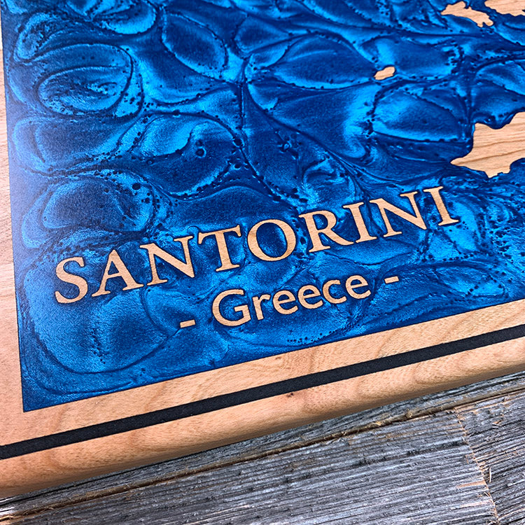
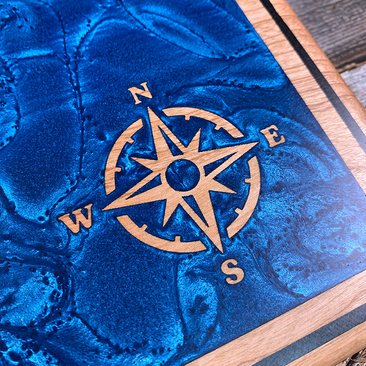
Three colours on one board, and cherry stains as readily as maple, so every exposed surface needed sealing before any of them went down. The caldera is a large pour running tight to a black border on all four sides, which means damming the full perimeter. The heart is the opposite problem — a red pour and a black one almost touching, each isolated so neither creeps into the other. Large and small on the same board, and both have to hold their line.
Marked on this piece
- Santorini
- Greece
Waypoints close by
 Cobbosseecontee LakeWinthrop, Maine, USA
 Bailey IslandMaine, USA
 Beach PondConnecticut, USA
 Groton Long PointNew London County, Connecticut, USA
Also from our workshop
 Seaside
From
Seaside
From  Cascade
From
Cascade
From  Sanctuary
From
Sanctuary
From  Peak
From
Peak
From Where this is
36.3931, 25.4615