

Epoxy
San Luis Pass
Galveston, Texas, USA
Also known as Galveston West End, Follets Island, Brazoria County
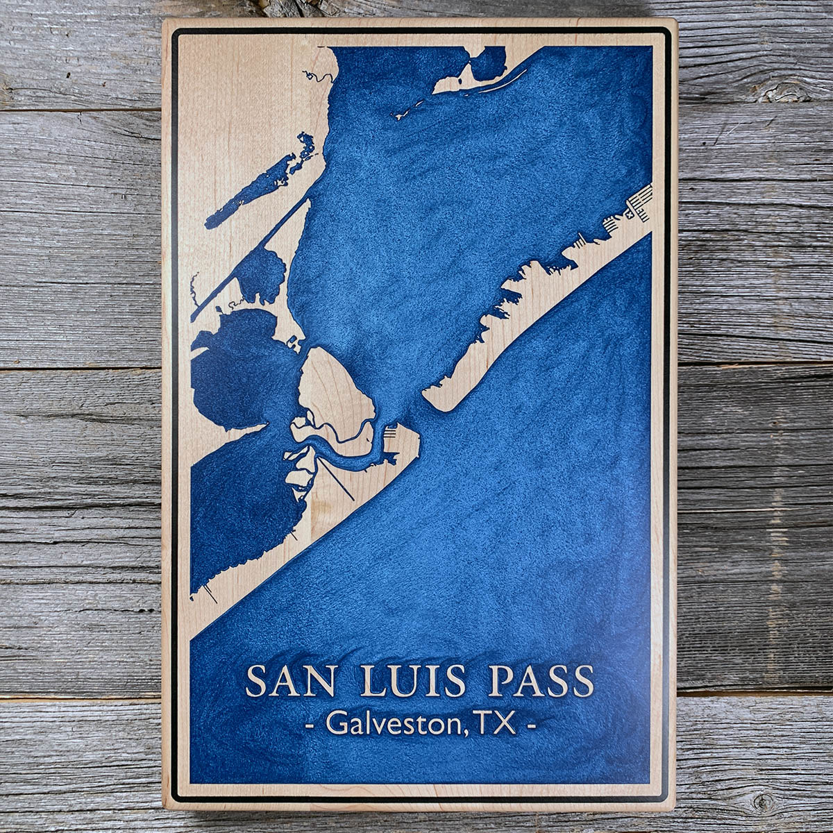
San Luis Pass is one of only two natural tidal inlets left on the Texas coast. It has never been jettied and it has never been dredged.
Almost every other inlet on this coast has been stabilized with rock and kept open with a dredge. San Luis keeps its own channel. It just does not keep it in the same place: the channel wanders sideways within the pass while the pass itself stays put.
The current reverses through the day. On the flood the Gulf pours into West Bay, and on the ebb the bay empties back out through a gap less than two miles long and up to 40 feet deep. It runs hard enough to be felt a mile down the beach on either island.
Passes like this one usually begin as a storm cut across a barrier island. Most of them fill back in within weeks. San Luis is one that the tide kept open.
Details
- Feature
- Lake
- Build
- Epoxy
- Material
- Solid Maple
- Colour
- Ocean Blue
- Size
- 10-1/2" x 16"
- Completed
- March 2025
How this one was made
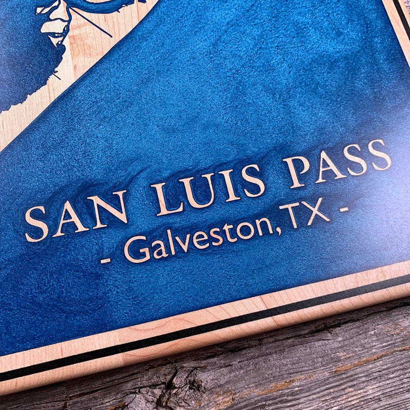
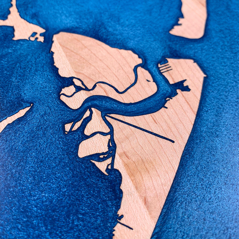
The blue sits in a rectangular field inside a maple border, so the dam runs around that field rather than at the board edge or along a waterline. The land, the lettering and the fine structures are all unengraved maple standing at full height inside the pour, so they went under the blue and came back at the sanding stage. The black line around the outside is the only separate color and takes a dam of its own. What makes this one slow is the coast: tidal flats and marsh channels thinning down to nothing, and a lot of small separate shapes sitting inside the water.
Waypoints close by
 Calcasieu LakeLouisiana, USA
 Knox LakeLimestone County, Texas, USA
 Greers Ferry LakeHeber Springs, Arkansas, USA
 Choctawhatchee BayFlorida, USA
Also from our workshop
 Howl
From
Howl
From  Kodiak
From
Kodiak
From  Nomad
From
Nomad
From  Summit
From
Summit
From Where this is
29.0850725, -95.1316929