

Epoxy
San Juan Islands
Washington, USA
Also known as San Juans, Salish Sea
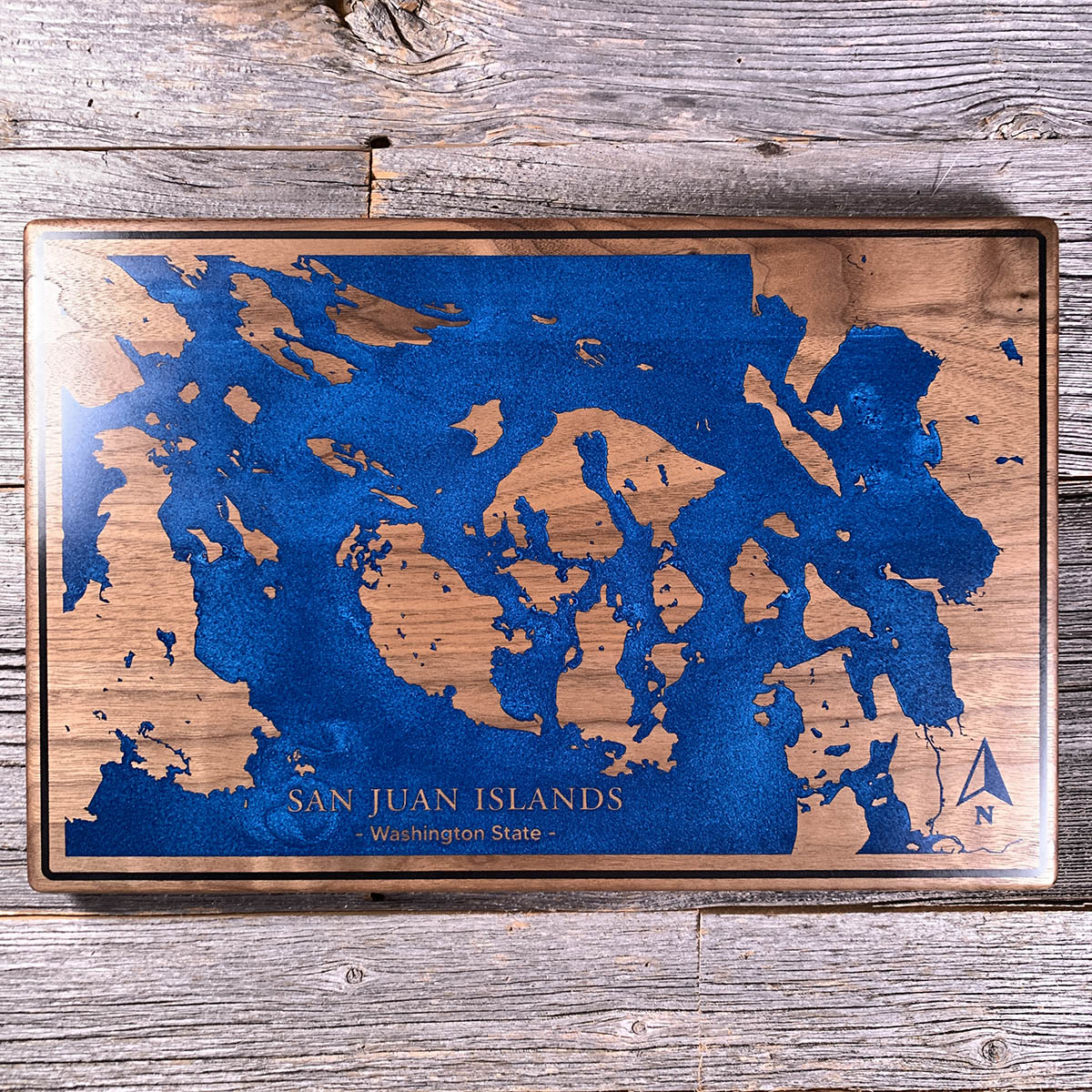
In 1859 the United States and Britain very nearly went to war over these islands. The only casualty was a pig.
The Oregon Treaty had put the border down "the middle of the channel" between the mainland and Vancouver Island, without anyone specifying which channel that was. Both countries claimed the San Juans and both settled them. When an American farmer shot a British-owned pig rooting through his potatoes, the British moved to arrest him, the Americans sent soldiers, the Royal Navy sent warships, and several hundred men spent the autumn staring at each other across the water. Nobody fired.
It was settled in 1872 by arbitration, with Kaiser Wilhelm I of Germany ruling for the Americans and the line drawn down Haro Strait. Every island on this board became Washington State. The ones just north, on our Sidney chart, stayed Canadian. From above there is nothing to tell them apart.
Details
- Feature
- Coastline
- Build
- Epoxy
- Material
- Solid Walnut
- Colour
- Ocean Blue
- Size
- 10-1/2" x 16"
- Completed
- May 2025
How this one was made
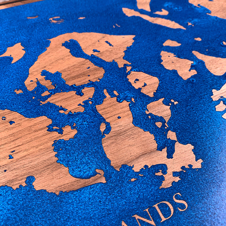
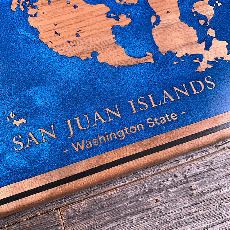
A large pour with a dark border running tight to the edge, so the perimeter is dammed and isolated before the water goes down. The complication is what sits inside it — this archipelago breaks into dozens of narrow channels and rock passages, and small sections are where air gets trapped with nowhere to travel out. The bulk of the board fills easily. It is the gaps between the islands that take the time.
Marked on this piece
- San Juan Islands
- Washington State
Waypoints close by
 Hurricane HillOlympic National Park, Washington, USA
 Chilliwack RiverBritish Columbia, Canada
 Island LakeShelton, Washington, USA
 Kawkawa LakeHope, British Columbia, Canada
Also from our workshop
 Cascade
From
Cascade
From  Sanctuary
From
Sanctuary
From  Peak
From
Peak
From  Silver Fox
From
Silver Fox
From Where this is
48.6366, -122.9166