

3D Printed
Pikes Peak
Front Range, Colorado, USA
Also known as America's Mountain, Race to the Clouds, Colorado Springs
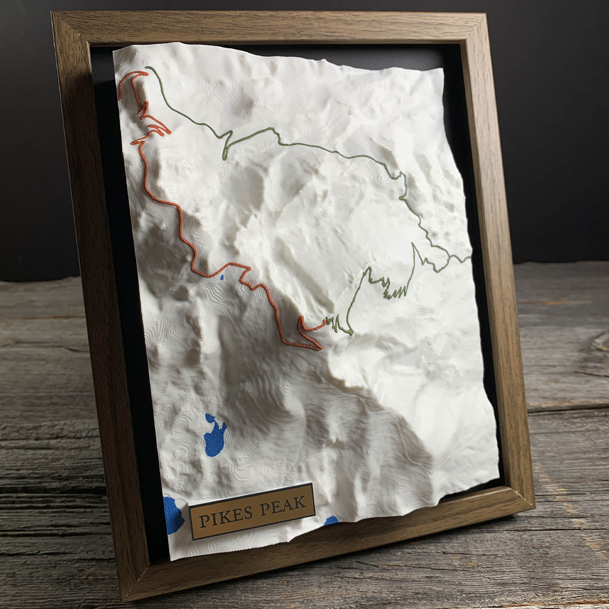
The orange line was built as a toll road in 1915. The race that made it famous was invented the following year, to get people to notice the road.
Spencer Penrose had made money in mining and wanted more visitors at his hotel in Colorado Springs. He widened the old carriage road up the mountain, charged fifty cents a car, and then organized an automobile race to the summit so the papers would write about it.
The first Pikes Peak Auto Hill Climb ran over three days in August 1916. Rea Lentz, twenty-two years old, won it in 20 minutes and 55.6 seconds. It has run almost every year since and is now the second oldest race in America, behind only the Indianapolis 500.
Twelve and a half miles, 156 turns, and 4,720 feet of climbing. The surface was gravel until 2011, when a lawsuit over erosion into the tundra finished the paving.
Details
- Feature
- Terrain
- Build
- 3D Printed
- Material
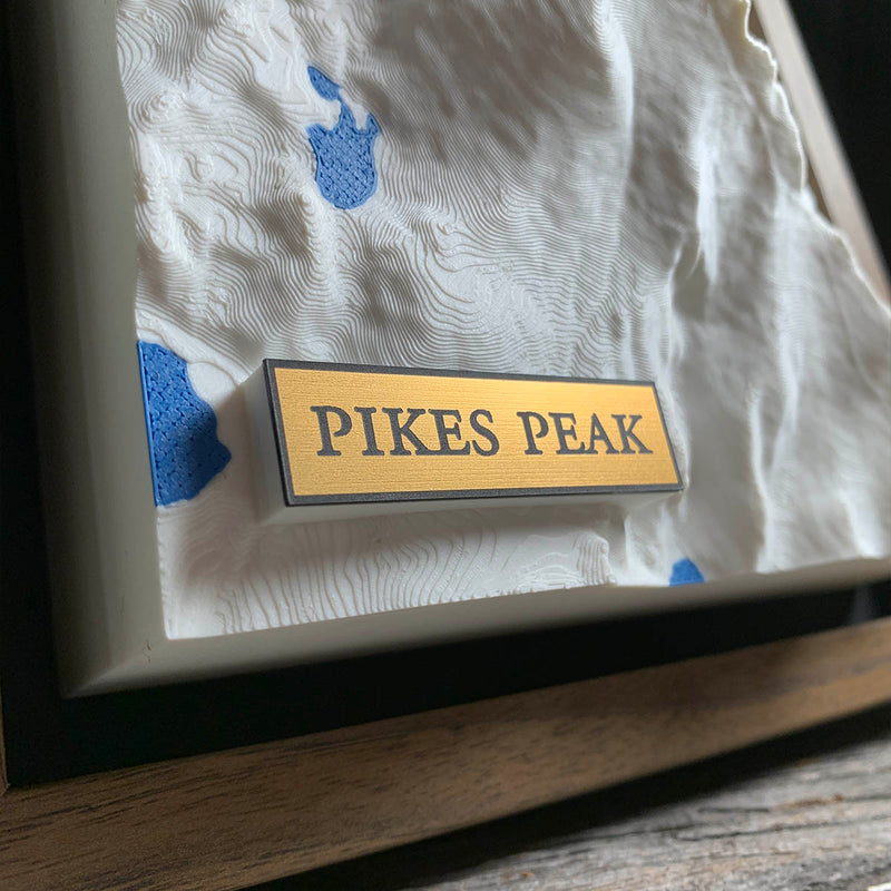
- Ivory White PLA
- Colour
- Marine Blue
- Size
- 10-3/4" x 8-3/4"
- Completed
- December 2025
How this one was made
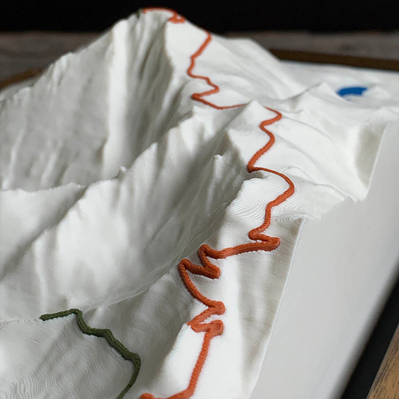
Three feature colors on this one, two greens for the trails and terra cotta for the highway, each traced by hand as a spline. The highway is the harder of the two: it switchbacks constantly, and every one of those turns has to be placed individually or the line stops looking like a road and starts looking like a scribble. The trails run cleaner by comparison.
Marked on this piece
- Barr Trail
- Elk Park Trail
- Pikes Peak Highway
Waypoints close by
 Blue Mesa ReservoirGunnison, Colorado, USA
 Abiquiu LakeAbiquiú, New Mexico, USA
 Knox LakeLimestone County, Texas, USA
 Flathead LakeMontana, USA
Also from our workshop
 Summit
From
Summit
From  Peak
From
Peak
From  Nomad
From
Nomad
From  Kodiak
From
Kodiak
From Where this is
38.841241581, -105.050578728