

3D Printed
Pikes Peak
Front Range, Colorado, USA
Also known as America's Mountain, Manitou Springs, Colorado Springs
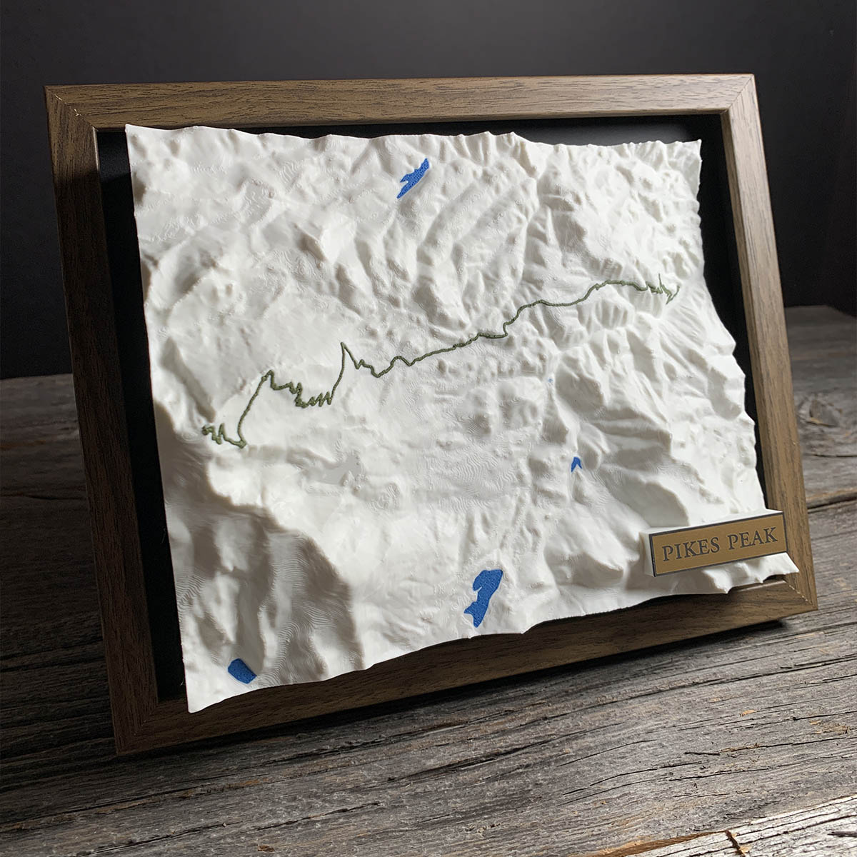
The green line on this map is a burro trail. Fred Barr surveyed it in 1918, a job the local paper reported everyone had called impossible.
Barr ran a burro livery at the top of the Manitou Incline and wanted a route that would take paying passengers all the way to the summit. The Forest Service hired him and a crew of ten to cut the lower three miles in 1917. He walked the whole line to the top on Christmas Eve that year.
The upper and lower halves met in July 1921. He celebrated by taking journalists up on burros. Then he built a camp at 10,200 feet so his customers had somewhere to sleep, and the cabin he finished in 1924 is still standing.
On the last night of 1922 he went up with four other men to set off fireworks at midnight. They called themselves the AdAmAn Club and they add one member a year. They are still doing it.
Details
- Feature
- Terrain
- Build
- 3D Printed
- Material
- Ivory White PLA
- Colour
- Marine Blue
- Size
- 10-3/4" x 8-3/4"
- Completed
- December 2025

How this one was made
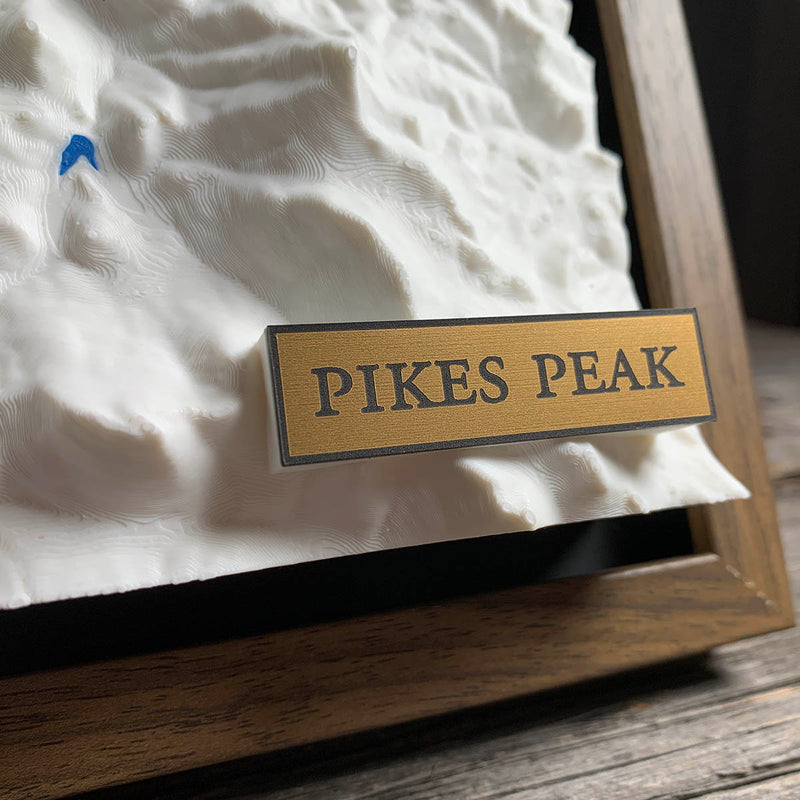
Exaggerated on this one, which surprises people. Pikes Peak stands more than 8,000 feet above the ground at Manitou Springs, and at true scale across a frame this wide that comes out as an inch or so of relief. Mountains are much wider than they are tall, so true to life on a fourteener reads as a gentle swell rather than a peak. The trail is a third color, traced by hand as a spline, and the switchbacks on the upper section are the fiddliest work on the piece.
Marked on this piece
- Barr Trail
Waypoints close by
 Blue Mesa ReservoirGunnison, Colorado, USA
 Abiquiu LakeAbiquiú, New Mexico, USA
 Knox LakeLimestone County, Texas, USA
 Flathead LakeMontana, USA
Also from our workshop
 Peak
From
Peak
From  Nomad
From
Nomad
From  Kodiak
From
Kodiak
From  Howl
From
Howl
From Where this is
38.841275007, -105.036674156