

Epoxy
Newfoundland
Newfoundland, Canada
Also known as The Rock, Newfoundland and Labrador
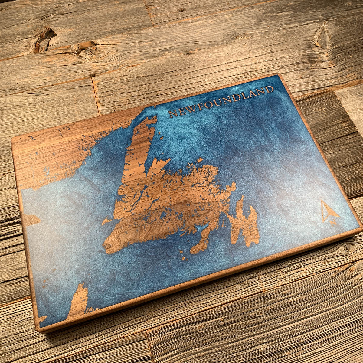
Newfoundland is a seam. The west of it was North America, the east was attached to Africa, and the middle is the floor of a vanished ocean.
About six hundred million years ago a continent split here and the Iapetus Ocean opened into the gap, eventually reaching a thousand kilometres across. Then the drift reversed. The ocean closed, the two margins were driven back together, and everything caught between them was crushed upward into the Appalachians. The Long Range mountains running up this board are the northern end of that chain, which carries on through the British Isles and into Norway.
The collision pushed something unusual to the surface. At the Tablelands in Gros Morne, rock from the Earth's mantle sits exposed on top of the crust, one of a small number of places on the planet where you can walk on it. That outcrop is much of the reason the park is a UNESCO World Heritage Site. It is physical proof of plate tectonics, lying in the open.
Details
- Feature
- Coastline
- Build
- Epoxy
- Material
- Solid Walnut
- Colour
- Ocean Blue
- Size
- 10-1/2" x 16"
- Completed
- December 2024
How this one was made
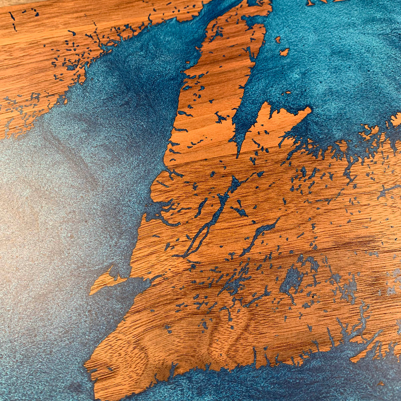
The pour runs off every edge, so the perimeter is dammed before any resin goes in. What makes this one slow is that there is no easy stretch anywhere on it. Newfoundland's coast is fjords, bays, tickles and offshore rock the whole way round, so the fine work is spread across the entire board rather than gathered in one corner. There is nowhere on this one to move quickly.
Waypoints close by
 Cobbosseecontee LakeWinthrop, Maine, USA
 Bailey IslandMaine, USA
 Beach PondConnecticut, USA
 Groton Long PointNew London County, Connecticut, USA
Also from our workshop
 Seaside
From
Seaside
From  Cascade
From
Cascade
From  Sanctuary
From
Sanctuary
From  Peak
From
Peak
From Where this is
48.67301, -56.08549