

Epoxy
Narragansett Bay
Rhode Island, USA
Also known as Cranston
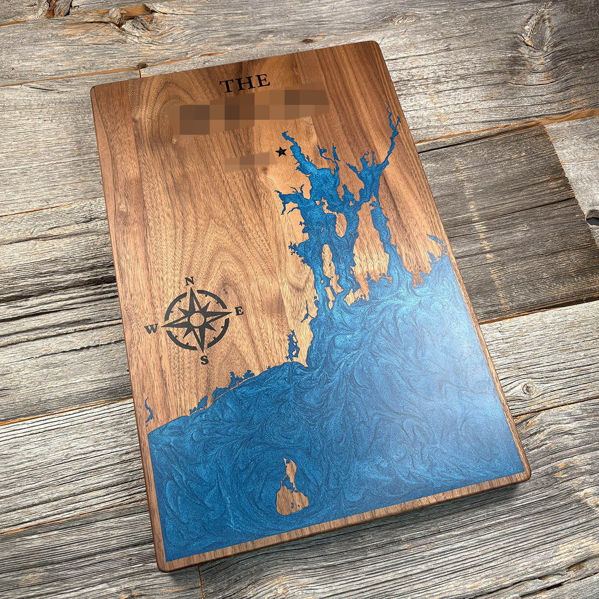
Rhode Island is named after an island in this bay, and nobody is entirely sure why.
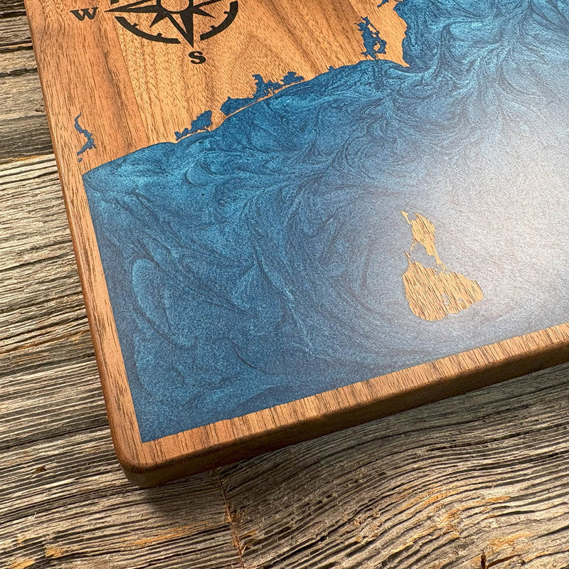
Aquidneck, the largest island in Narragansett Bay, was formally renamed in 1644 by a colonial order declaring that it should henceforth be called the Isle of Rodes. Where that came from is still argued. One account traces it to Giovanni da Verrazzano, who sailed past in 1524 and compared an island here to Rhodes in the Mediterranean. Another credits the Dutch, who charted it as Roode Eylant, red island, for the colour of its clay. Either way the state took its name from the island, not the other way round.
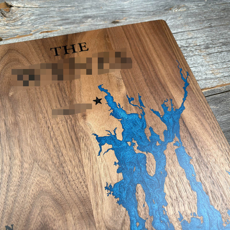
Providence sits at the head of the bay where the rivers narrow, founded by Roger Williams in 1636 and named for the providence he believed had carried him there. Cranston, marked on this board, is the next town downstream.
Details
- Feature
- Coastline
- Build
- Epoxy
- Material
- Solid Walnut
- Colour
- Ocean Blue
- Size
- 10-1/2" x 16"
- Completed
- December 2024
How this one was made
The upper reaches of this bay narrow into channels only a few millimetres wide, and small pours are where bubbles get trapped. Air has nowhere to travel in a space that tight, so those sections need working over before the resin sets. The Cranston marker sits close to the shoreline as well, which meant damming that edge to keep the pour off the lettering.
Marked on this piece
- Cranston
- Providence River
- Aquidneck Island
Waypoints close by
 Beach PondConnecticut, USA
 Groton Long PointNew London County, Connecticut, USA
 Candlewood LakeDanbury, Connecticut, USA
 Cos Cob HarborGreenwich, Connecticut, USA
Also from our workshop
 Cascade
From
Cascade
From  Sanctuary
From
Sanctuary
From  Peak
From
Peak
From  Silver Fox
From
Silver Fox
From Where this is
41.6, -71.35