

Epoxy
Missezula Lake
Princeton, British Columbia, Canada
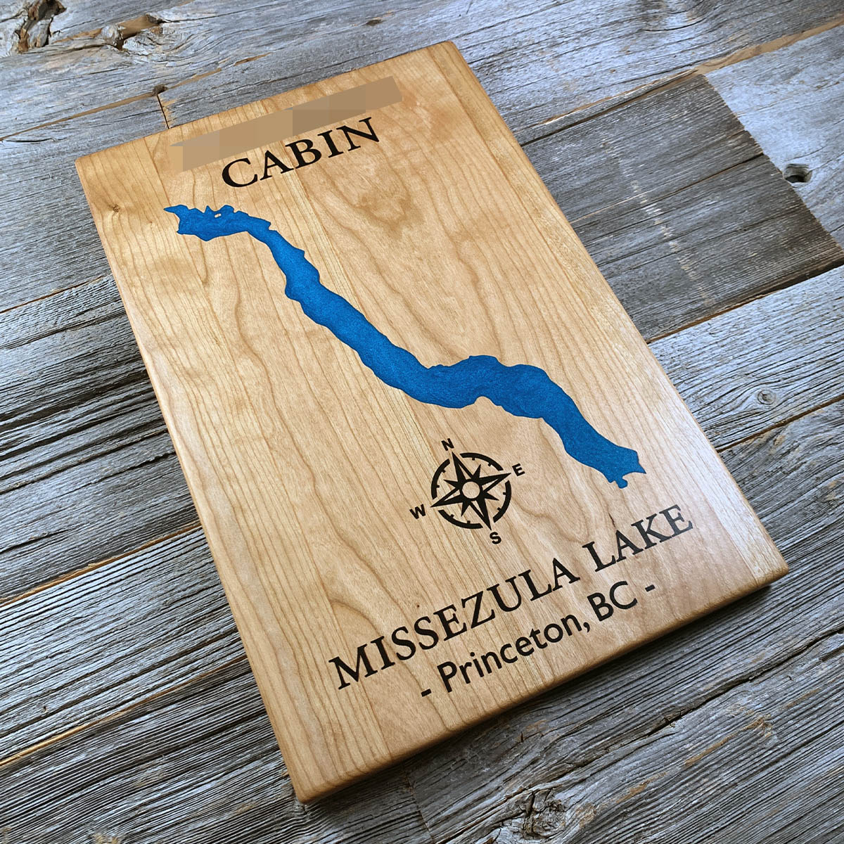
Missezula Lake has no permanent population. About 190 seasonal lots sit at the south end, at the far end of 30 kilometres of gravel.
The lake runs about four kilometres north to south at roughly 1,010 metres, set in a narrow valley with steep ground on both sides. The road in follows Summers Creek off Highway 5A, and it is kept open through the winter.
There is a small forest service campsite at the north end and the lots at the south, and not much in between. Rainbow trout and kokanee in the water, logging roads running back into the hills above.
Details
- Feature
- Lake
- Build
- Epoxy
- Material
- Solid Cherry
- Colour
- Ocean Blue
- Size
- 10-1/2" x 16"
- Completed
- February 2025
How this one was made
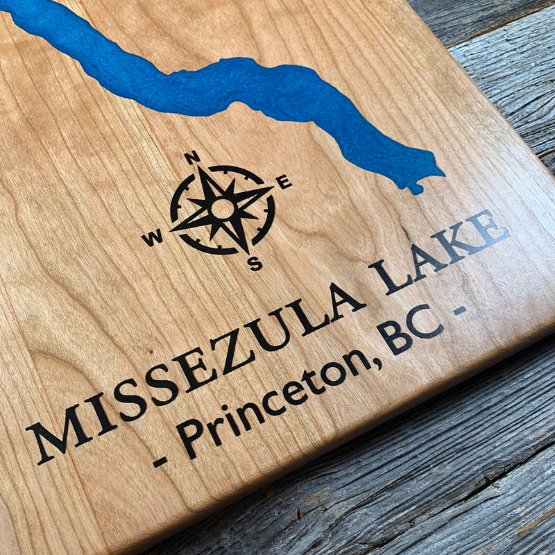
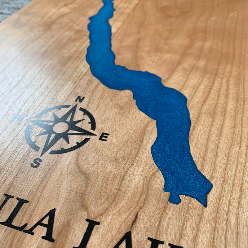
Cherry and two colours, so the seal is the whole defence: each section gets flooded and sanded flush, and with the engraving only a sixteenth to an eighth deep a stain in the grain cannot be sanded out. Missezula is a long narrow ribbon with a shoreline that wiggles the whole way down, which puts a lot of small indentations into a channel that is never wide. The compass sits out on its own in the bare wood with fine linework through the points, so it took its own dam and its own attention on bubbles. Past that it was steady work rather than difficult.
Waypoints close by
 Kamloops LakeBritish Columbia, Canada
 Kawkawa LakeHope, British Columbia, Canada
 Knouff LakeKamloops, British Columbia, Canada
 Beaver LakeBritish Columbia, Canada
Also from our workshop
 Kodiak
From
Kodiak
From  Nomad
From
Nomad
From  Summit
From
Summit
From  Sanctuary
From
Sanctuary
From Where this is
49.7887, -120.5252