

Epoxy
Mabel Lake
North Okanagan, British Columbia, Canada
Also known as Enderby, Lumby, Kingfisher
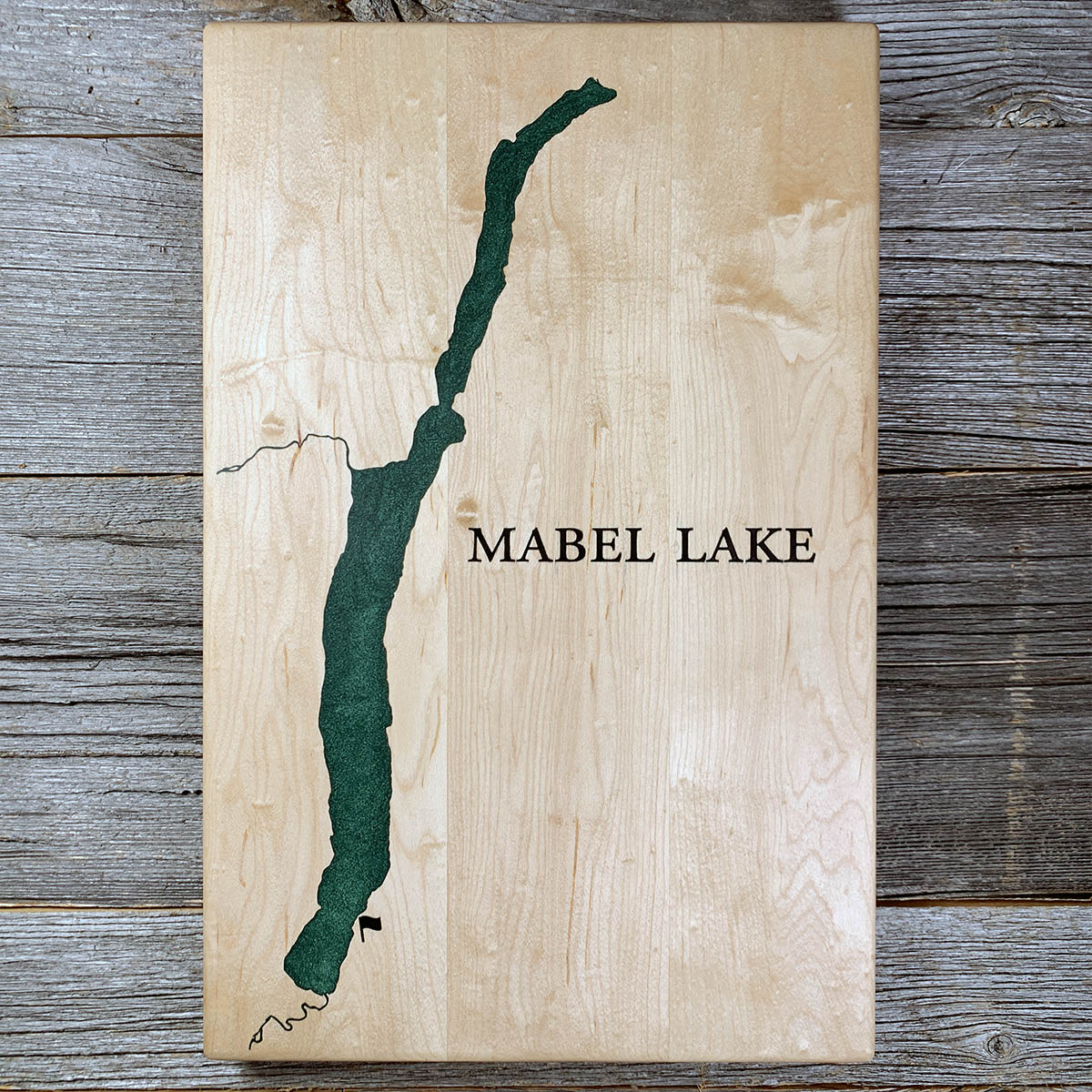
Every spring for decades, logs were floated down the Shuswap River into Mabel Lake, boomed together, and towed the length of it.
The drives came off Sugar Lake and the upper river, into Mabel at its south end. The Shuswap leaves again from partway up the west side, which meant the whole length of the lake had to be crossed under tow before the river work started.
A drive took eight to ten men three or four weeks. They left their regular jobs to do it. At the far end was Enderby's sawmill, built on the riverbank in 1894 and sold in 1905 to a Minnesota company that ran it until 1921, by which point the easy timber around Mabel Lake was gone.
Trucks took over after that. The last drive down the Shuswap went in 1967.
Details
- Feature
- Lake
- Build
- Epoxy
- Material
- Solid Maple
- Colour
- Forest Green
- Size
- 10-1/2" x 16"
- Completed
- March 2025
How this one was made
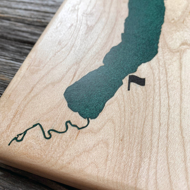
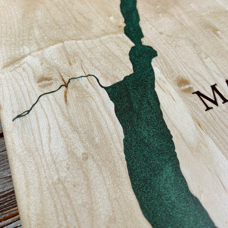
Green again rather than blue, and it reads differently on maple than it did on walnut. Not wall to wall, so the dam follows the waterline about half an inch out and the flood runs along the shore. Mabel is long and narrow with a shoreline that stays fairly even, so the water went in without much argument. The fine work is the river coming in at the south end and leaving partway up the west side, both thinned right down, plus the small marker near the bottom, which takes a dam of its own.
Waypoints close by
 Beaver LakeBritish Columbia, Canada
 Knouff LakeKamloops, British Columbia, Canada
 Christina LakeBoundary Country, British Columbia, Canada
 Kamloops LakeBritish Columbia, Canada
Also from our workshop
 Howl
From
Howl
From  Kodiak
From
Kodiak
From  Nomad
From
Nomad
From  Summit
From
Summit
From Where this is
50.565035, -118.7336963