

Epoxy
Lake Lyndon B. Johnson
Horseshoe Bay, Texas, USA
Also known as Lake Lyndon B. Johnson, Lake Granite Shoals, Kingsland, Highland Lakes
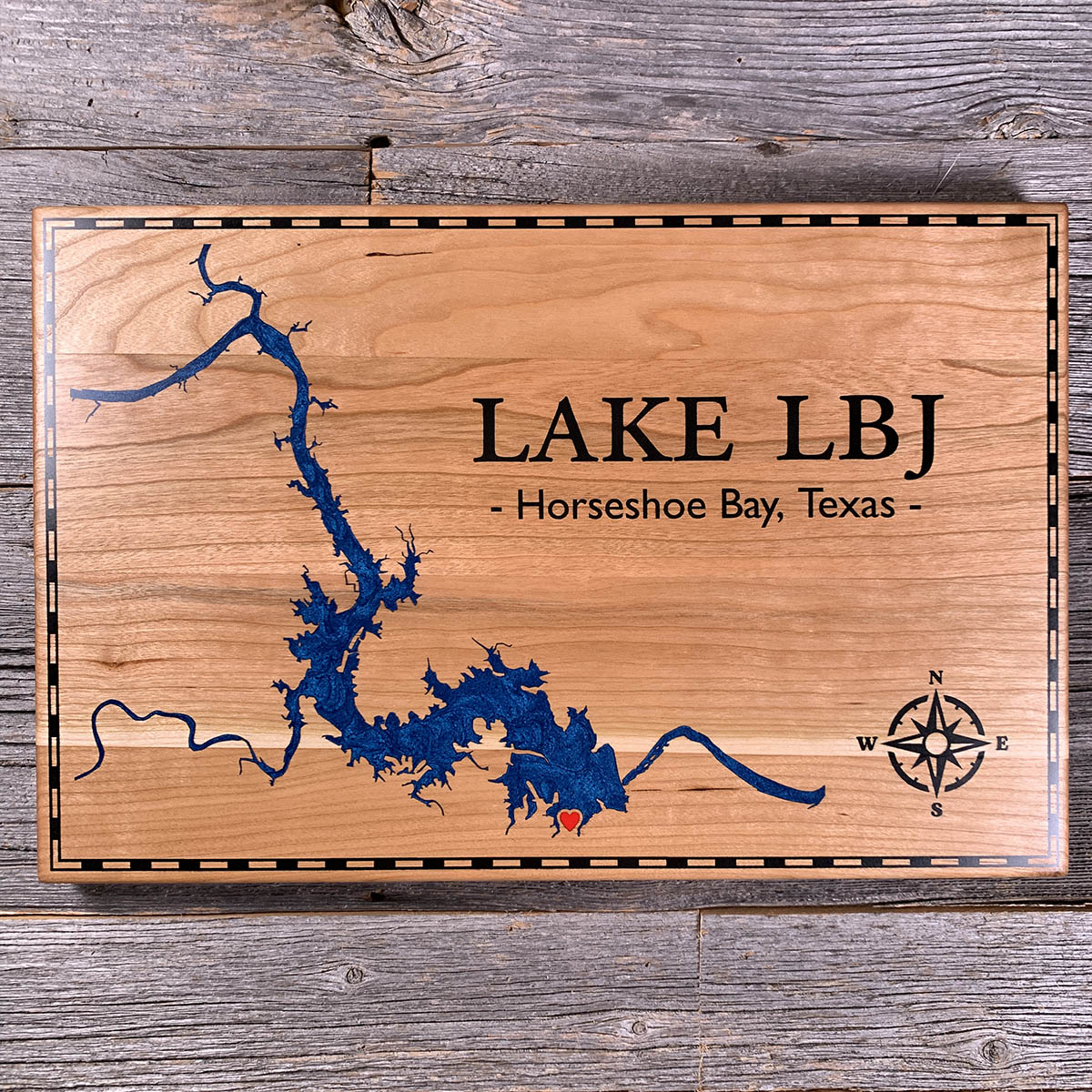
Two rivers meet inside this lake rather than above it.
The Colorado comes down from the north, the Llano comes in from the west, and they join near Kingsland with the reservoir already around them. It filled in 1951 as Lake Granite Shoals, named for the granite outcrops along the river that the water went over. The name changed in 1965.
What sets it apart in the Highland Lakes chain is that the level does not move. Buchanan and Travis are storage reservoirs and rise and fall by tens of feet with the weather. LBJ is a pass-through. Water arrives from upstream, runs through, and leaves over Wirtz Dam, and the surface sits at about 825 feet year round. In a Texas drought that is the difference between a dock in water and a dock in mud.
Twenty-one miles of lake, and something close to 270 miles of shoreline wrapped around it.
Details
- Feature
- Lake
- Build
- Epoxy
- Material
- Solid Cherry
- Colour
- Ocean Blue
- Size
- 10-1/2" x 16"
- Completed
- April 2025
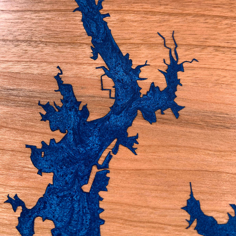
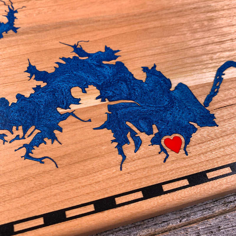
How this one was made
Cherry, inset, with a black dashed border running the perimeter. A dashed border is more work than a solid one, since each dash is a separate cavity to fill rather than one continuous run.
The shoreline ratio is what makes this lake long work. Twenty-one miles of length against roughly 270 miles of shore means the coast doubles back on itself constantly, into coves and narrow channels, and each one gets dammed on both sides. Both river arms carry on past the lake proper as thin single channels running to the edges of the board, and there the two dam lines run close enough to nearly meet.
Three colours. Blue for the water, black for the border, lettering and compass rose, red for the heart. Three pours and three cures, with the heart small enough to be a syringe fill on its own.
Waypoints close by
 Knox LakeLimestone County, Texas, USA
 Calcasieu LakeLouisiana, USA
 Greers Ferry LakeHeber Springs, Arkansas, USA
 Abiquiu LakeAbiquiú, New Mexico, USA
Also from our workshop
 Kodiak
From
Kodiak
From  Nomad
From
Nomad
From  Summit
From
Summit
From  Sanctuary
From
Sanctuary
From Where this is
30.566101143, -98.385164766