

Epoxy
Lake Fairlee
Upper Valley, Vermont, USA
Also known as Fairlee, West Fairlee, Thetford
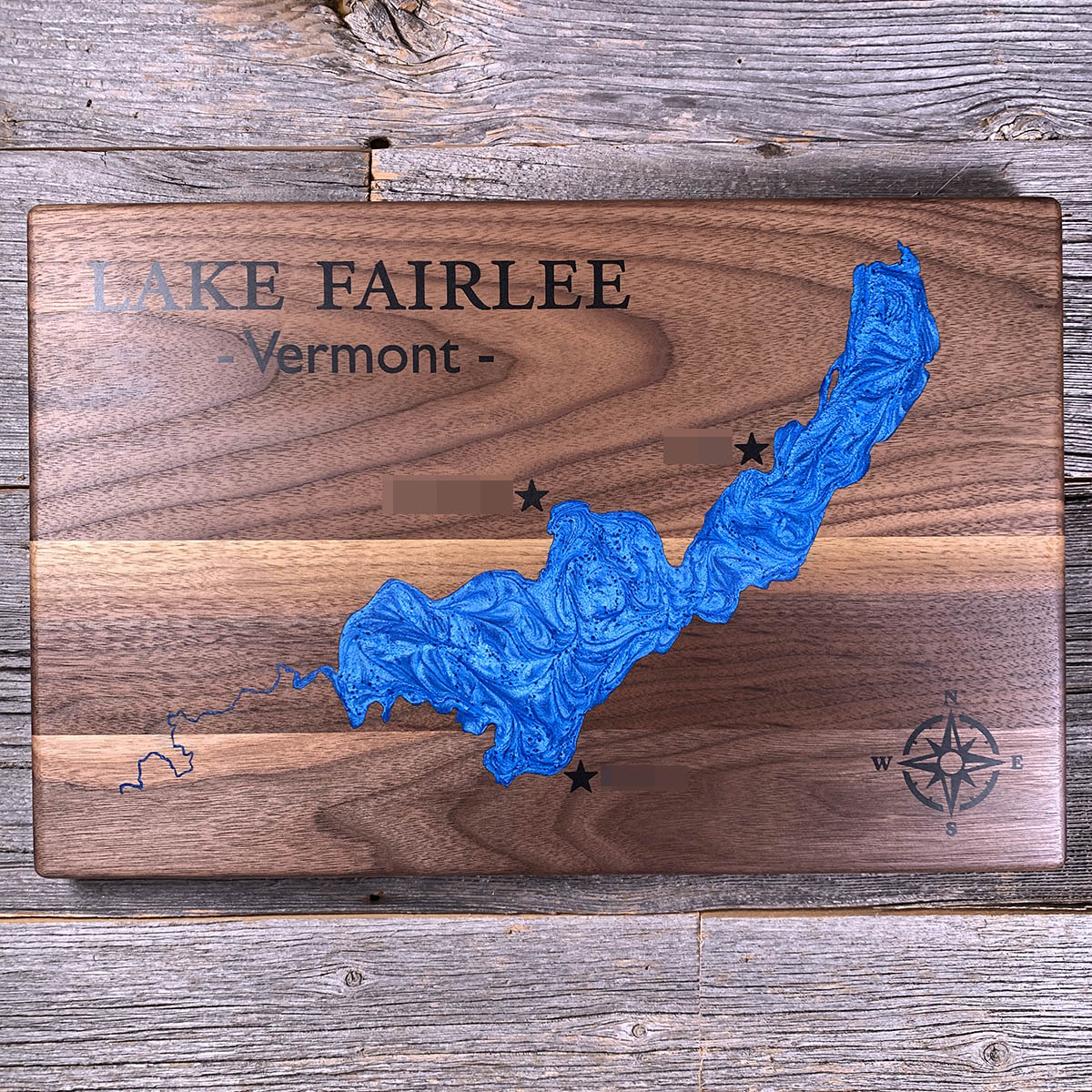
Vermont has banned wakesports on Lake Fairlee. It is one of twelve lakes covered by the rule.
Wake boats can still run on it. What they cannot do is run in wake-enhanced mode, ballasted down to throw the large wave that wakesurfing needs.
The lake is 462 acres and two miles long, sitting across Thetford, Fairlee and West Fairlee. Two brooks come in from the north, Middle and Blood. The outlet is at the southwest corner behind a dam rebuilt in 2015, and from there the water runs into the Ompompanoosuc and on to the Connecticut. There are two places to get on the water: a state boat launch and Thetford's Treasure Island, which the town has run since 1972.
The lake association, every summer camp on the shore, and the selectboards of all three towns backed the ban.
Details
- Feature
- Lake
- Build
- Epoxy
- Material
- Solid Walnut
- Colour
- Caribbean Blue
- Size
- 10-1/2" x 16"
- Completed
- March 2025
How this one was made
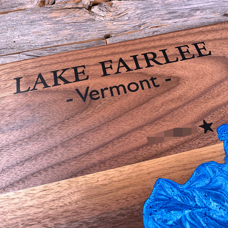
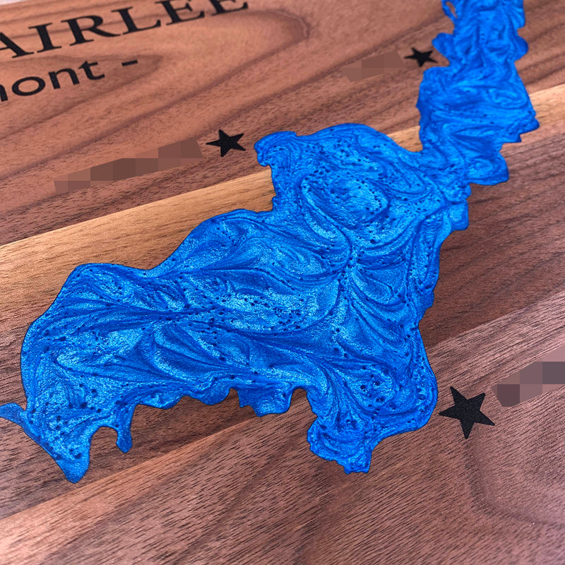
Three markers on this one, each a star with a short line of type beside it, out on the walnut and clear of the water. Type that small cuts shallow, which means it fills unevenly and holds air, and the only way through it is patience. Not wall to wall, so the lake's dam runs half an inch outside the waterline and the flood follows the shore. Fairlee is a long curve with a shoreline that stays busy but never gets fine enough to fight.
Waypoints close by
 Bailey IslandMaine, USA
 Cobbosseecontee LakeWinthrop, Maine, USA
 Beach PondConnecticut, USA
 Groton Long PointNew London County, Connecticut, USA
Also from our workshop
 Kodiak
From
Kodiak
From  Nomad
From
Nomad
From  Summit
From
Summit
From  Sanctuary
From
Sanctuary
From Where this is
43.8848703, -72.2360737