

3D Printed
Lake Country
Lake Country, British Columbia, Canada
Also known as Winfield, Oyama, Okanagan Centre, Carr's Landing
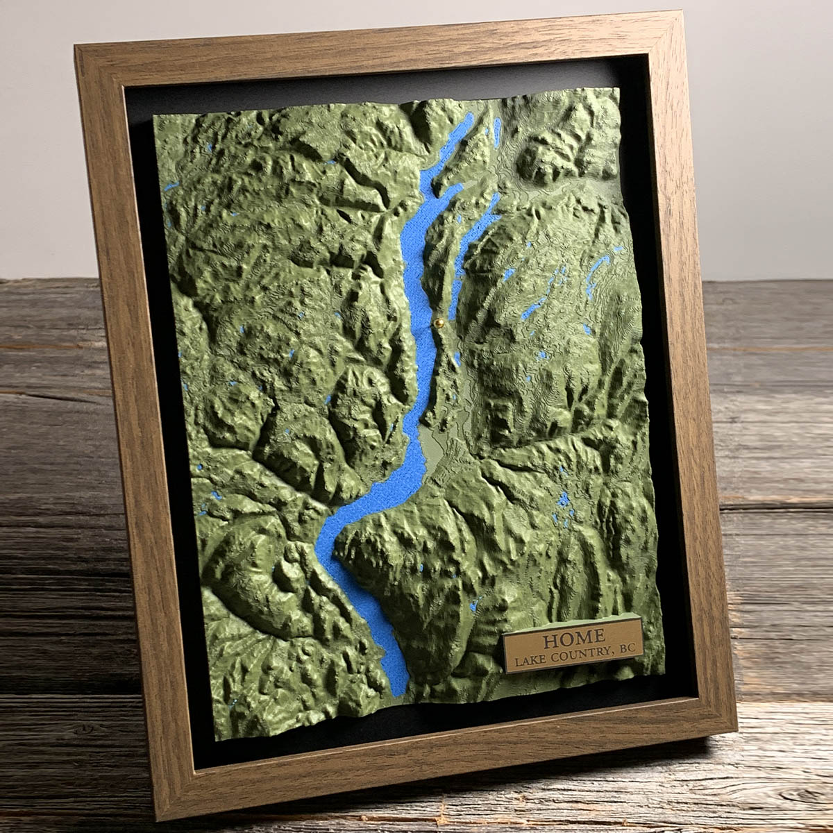
The benches these orchards sit on are the floor of a lake that has been gone for ten thousand years.
At the end of the last glaciation this valley held Glacial Lake Penticton, dammed by ice at its southern end and standing well over a hundred metres above the water you see here. It was a single body. Kalamalka, Wood and Ellison were all inside it. Meltwater streams fed fine silt and rock flour into it for as long as the ice held.
When the dam failed and the level dropped, that sediment stayed behind as flat terraces along the valley walls. They are the best growing ground in the region, and the four communities that make up Lake Country all sit on them, Okanagan Lake on one side and Wood Lake on the other. Winfield, Okanagan Centre, Oyama and Carr's Landing joined into one district in 1995 and each still elects its own councillor.
Okanagan Lake itself runs about 135 kilometres and reaches 232 metres deep. Lake Country sits close to its midpoint.
Details
- Feature
- Terrain
- Build
- 3D Printed
- Material
- Dark Green PLA
- Colour
- Marine Blue
- Size
- 10-3/4" x 8-3/4"
- Completed
- November 2025
How this one was made
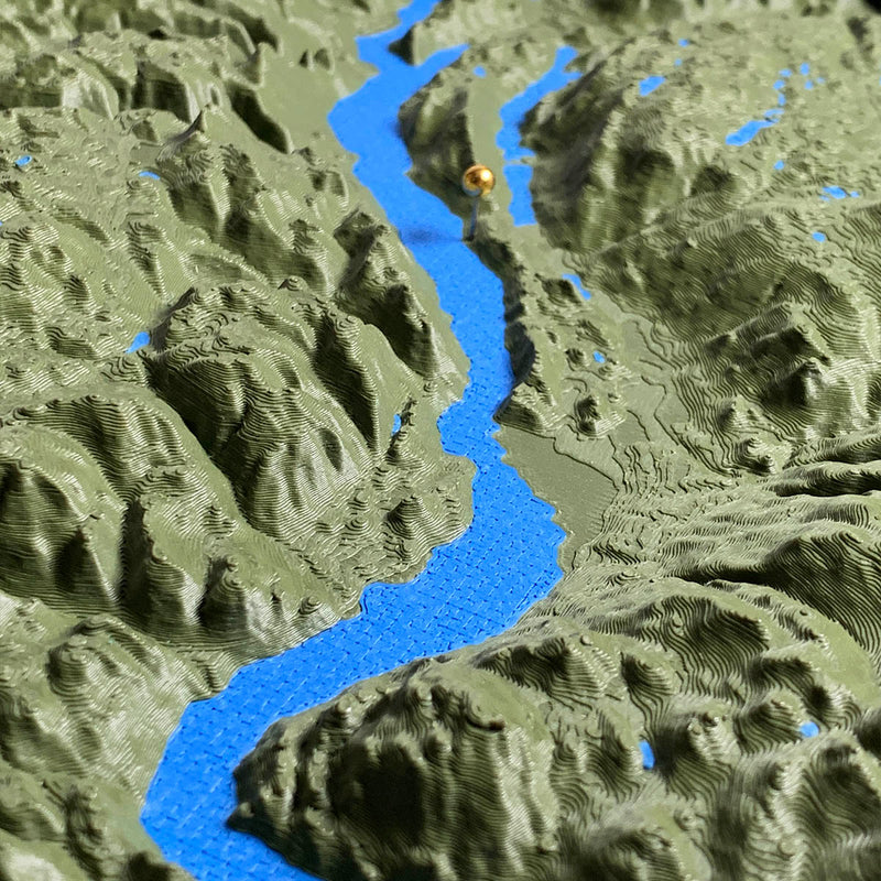
Flush on this one, which scales the model so the highest ground sits level with the frame. Two boards running on the same setting doing opposite jobs. On the Michigan piece flush lifted ground that was nearly flat into something you could read. Here it does the reverse. Okanagan Lake sits in a trough with better than a thousand metres of mountain standing over it, and at true to life or exaggerated those walls would have run away with the board.
That restraint is the whole argument for the setting here. The terraces along the valley sides are shallow steps next to the ridges behind them, and they are the part of this landscape that matters to somebody who lives on one. Scaling the model down to the frame is what keeps them reading as steps rather than disappearing into the shadow of the ridge above.
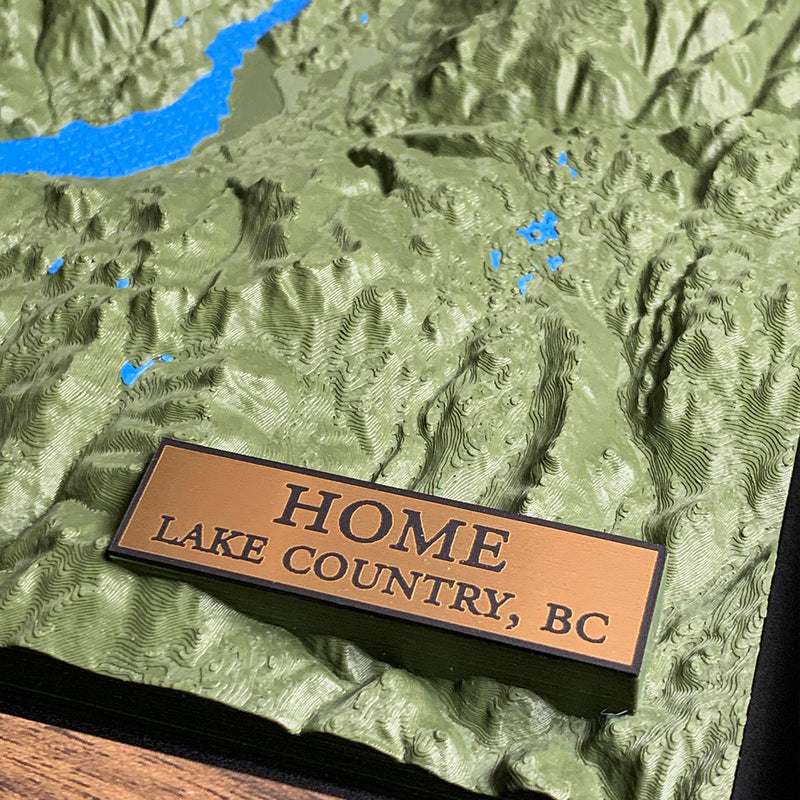
The rest is small work. There is a scatter of separate ponds and lakes through the high ground on the right, each one its own colour region to assign before we start the print, and the pin is seated down into the terrain rather than resting on the surface of it.
Waypoints close by
 Beaver LakeBritish Columbia, Canada
 Knouff LakeKamloops, British Columbia, Canada
 Kamloops LakeBritish Columbia, Canada
 Crawfish LakeRiverside, Washington, USA
Also from our workshop
 Summit
From
Summit
From  Peak
From
Peak
From  Nomad
From
Nomad
From  Kodiak
From
Kodiak
From Where this is
49.913420559, -119.505995338