

Epoxy
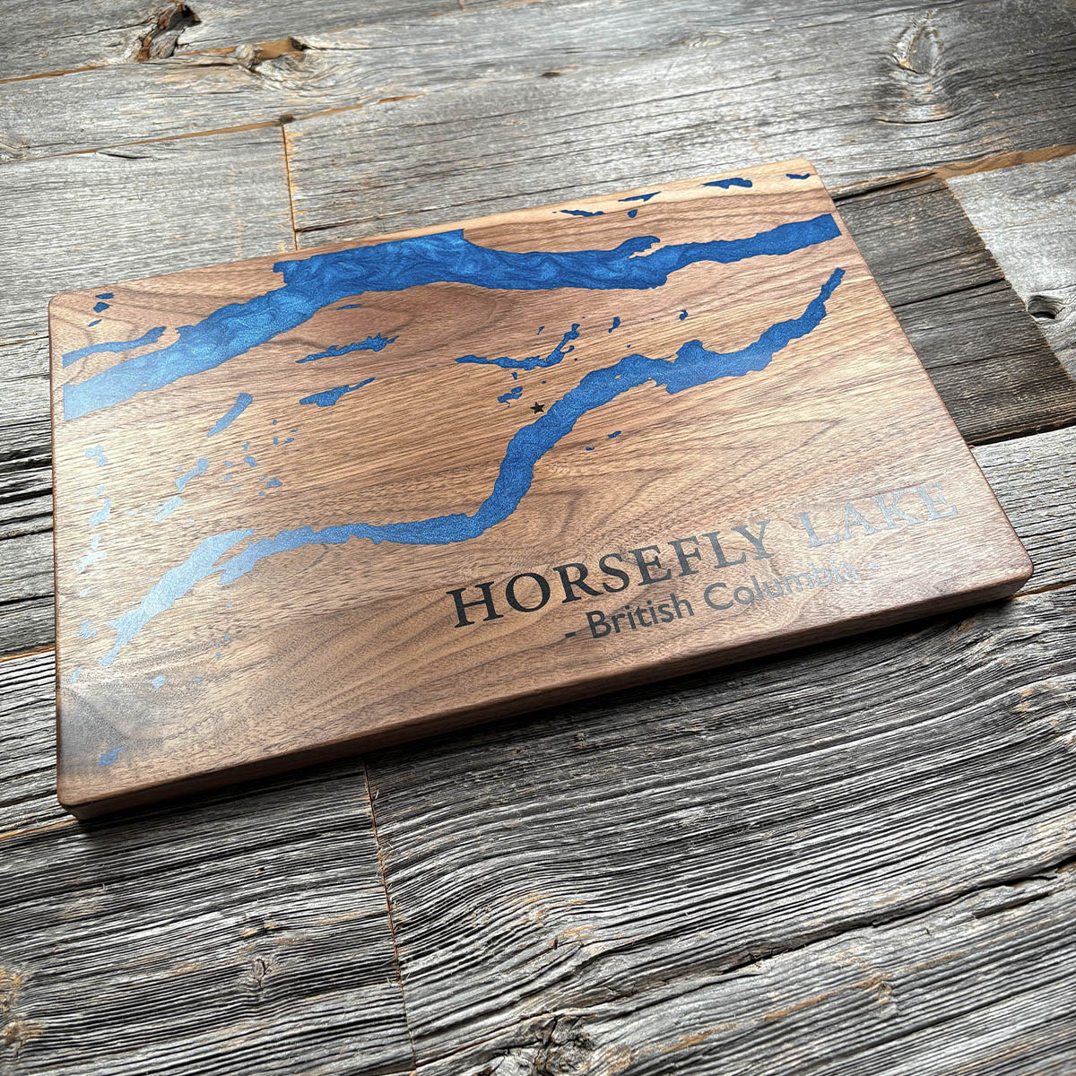
Horsefly Lake
British Columbia, Canada
Also known as Harper's Camp, Cariboo
The salmon found the gold first. Sockeye spawning in the Horsefly River churned up the gravel and left the nuggets lying in plain sight.
In the summer of 1859 a party led by a First Nations guide known as Long Baptiste picked up around a hundred ounces in a week. It was the first gold of the Cariboo Gold Rush, three years ahead of Billy Barker's strike at Williams Creek, though at least four separate groups found gold on this river that year and who arrived first is still argued. When the easy ground gave out the miners pushed north to Quesnel Forks and Barkerville. The settlement here stayed small, and went by Harper's Camp until 1921.
The fish are still the point. The Horsefly carries one of the significant sockeye runs of the Fraser system, and the river is closed to placer staking because of it. The gold the salmon uncovered is off limits now, on account of the salmon.
Details
- Feature
- Lake
- Build
- Epoxy
- Material
- Solid Walnut
- Colour
- Ocean Blue
- Size
- 10-1/2" x 16"
- Completed
- December 2024
How this one was made
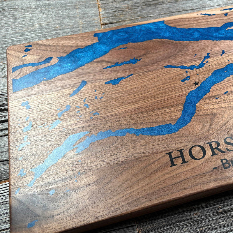
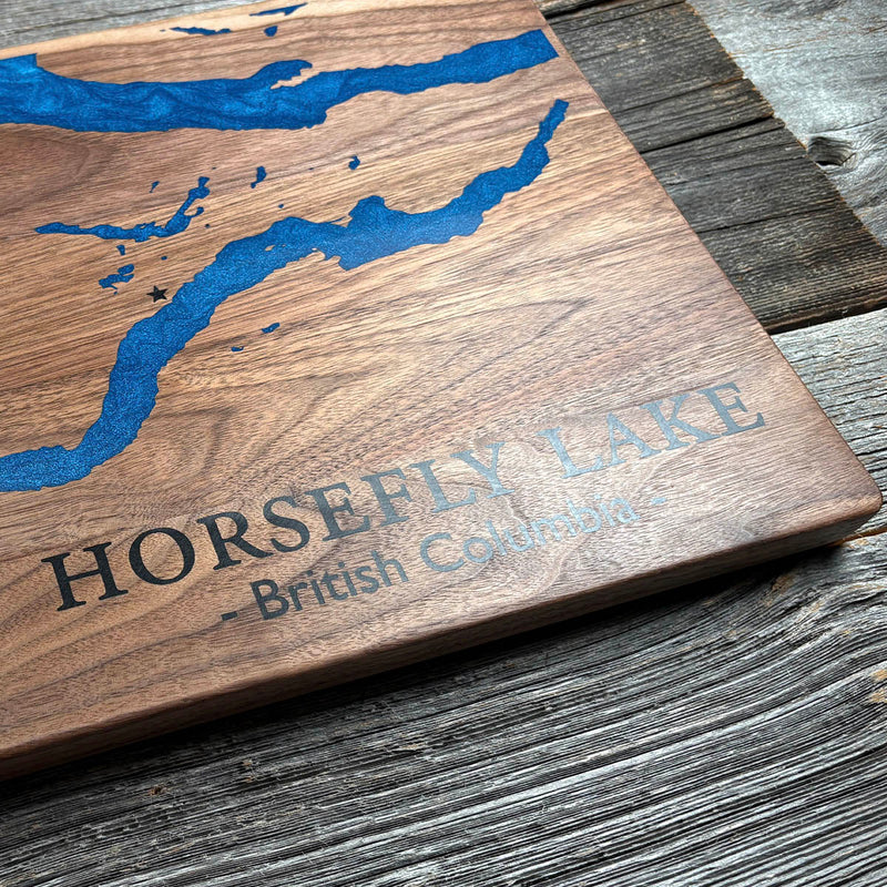
The water runs off the left edge of the board, so that side is dammed before the pour goes in. The rest is small work. This lake sits in a chain of narrow arms and channels with islands scattered down the middle, and none of the fine detail is conveniently grouped in one corner where you can deal with it in a single pass.
Marked on this piece
- Horsefly Lake
- British Columbia
Waypoints close by
 Horsefly Lake (Lake Only)British Columbia, Canada
 Green LakeSouth Cariboo, British Columbia, Canada
 Green LakeSouth Cariboo, British Columbia, Canada
 Green LakeBritish Columbia, Canada
Also from our workshop
 Howl
From
Howl
From  Kodiak
From
Kodiak
From  Nomad
From
Nomad
From  Summit
From
Summit
From Where this is
52.42148, -121.0132