

Epoxy
Eagle Lake
Vermilion Bay, Ontario, Canada
Also known as Vermillion Bay, Sunset Country, Dryden
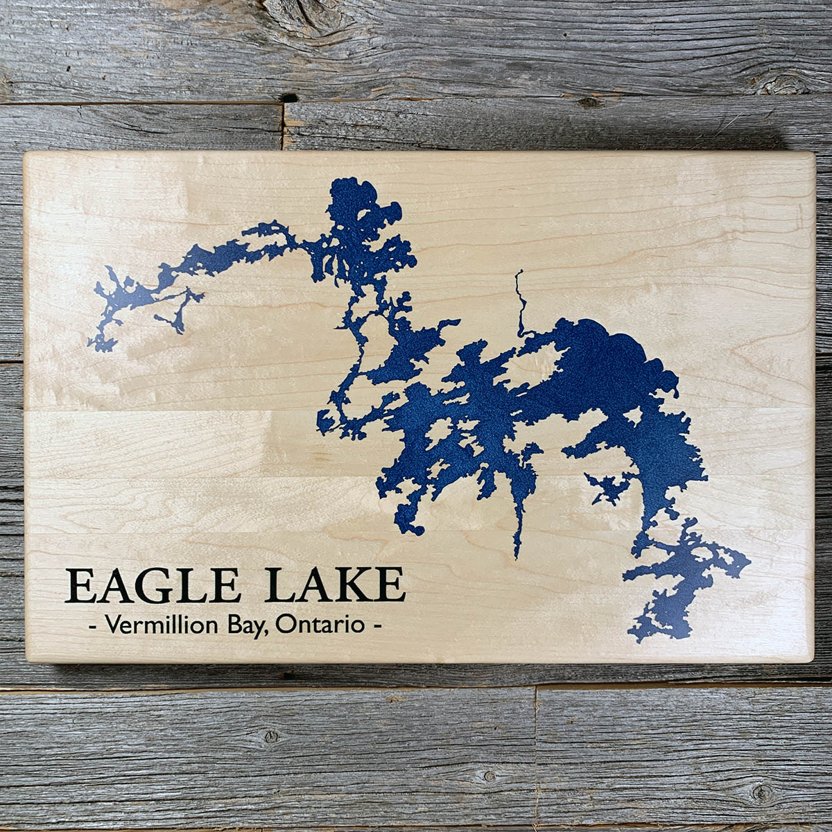
Eagle Lake covers about 275 square kilometres and has roughly 650 kilometres of shoreline, folded around something like 490 islands.
The shape is Shield country under water: ridges left as islands, valleys left as channels, arms running out in four directions. Lodge operators say you can fish it on the windiest day of the year because there is always a channel out of the wind.
It drains through the Eagle River into the English and on to the Winnipeg. The west arm sits inside Eagle-Dogtooth Provincial Park, set aside in 2003 and left without facilities beyond a couple of dozen backcountry sites and three boat launches.
Vermilion Bay began as a Canadian Pacific construction camp in the early 1880s. Eagle Lake First Nation is on the north shore. The Hudson's Bay Company ran a post on the lake before the railway came.
Details
- Feature
- Lake
- Build
- Epoxy
- Material
- Solid Maple
- Colour
- Ocean Blue
- Size
- 10-1/2" x 16"
- Completed
- March 2025
How this one was made
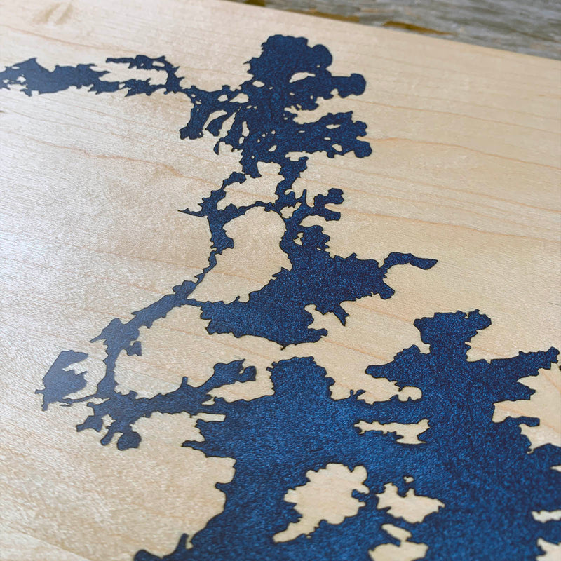
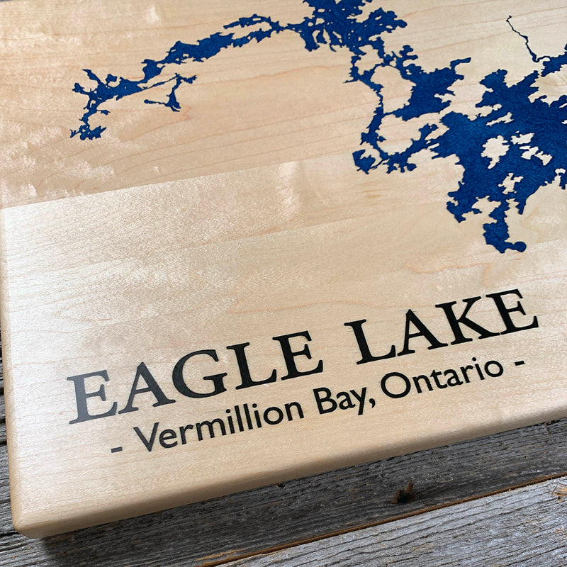
Not wall to wall, so the dam follows the waterline about half an inch out and the flood runs along the shore, which keeps the pour contained and the staining exposure to a narrow band. That band is the longest we have had to manage. Eagle Lake is more channel than open water, and every island inside it is a separate shape the pour has to go around, with the narrow passages between them holding air the way they always do. Maple underneath, which is the wood with the least margin, so the seal has to be right before any of it goes down.
Waypoints close by
 Hamilton LakeDickinson County, Michigan, USA
 Crescent LakeLake Superior Provincial Park, Ontario, Canada
 Chiblow LakeIron Bridge, Ontario, Canada
 Great LakesOntario, Canada
Also from our workshop
 Howl
From
Howl
From  Kodiak
From
Kodiak
From  Nomad
From
Nomad
From  Summit
From
Summit
From Where this is
49.7183923, -93.1192079