

Epoxy
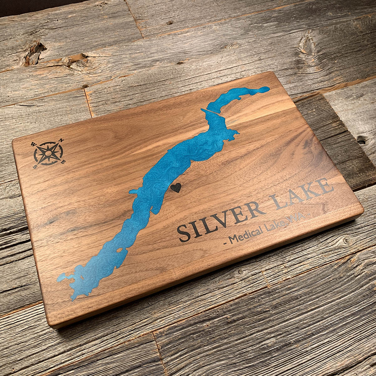
Silver Lake
Washington, USA
Also known as Medical Lake, Spokane County
The water that shaped this part of Washington came from a lake in Montana, and it arrived all at once.
During the last ice age a glacier dammed the Clark Fork in northern Idaho and backed up a lake across western Montana holding as much water as Lake Erie and Lake Ontario combined. Then the dam failed. The lake emptied across Idaho and into eastern Washington in a matter of days, stripping off the soil and cutting channels into the basalt underneath. The ice reformed, the lake refilled, and it happened again. Geologists count more than forty of these floods.
When J Harlen Bretz proposed this in 1923, his profession would not have it. Catastrophes were unfashionable and landscapes were supposed to form slowly. It took fifty years and the work of J T Pardee, who identified the Montana lake as the source, before Bretz was accepted. He received the discipline's highest honour in 1979, aged ninety six.
Silver Lake sits at the eastern edge of that country, just west of Spokane where the scablands begin.
Details
- Feature
- Lake
- Build
- Epoxy
- Material
- Solid Walnut
- Colour
- Caribbean Blue
- Size
- 10-1/2" x 16"
- Completed
- December 2024
How this one was made
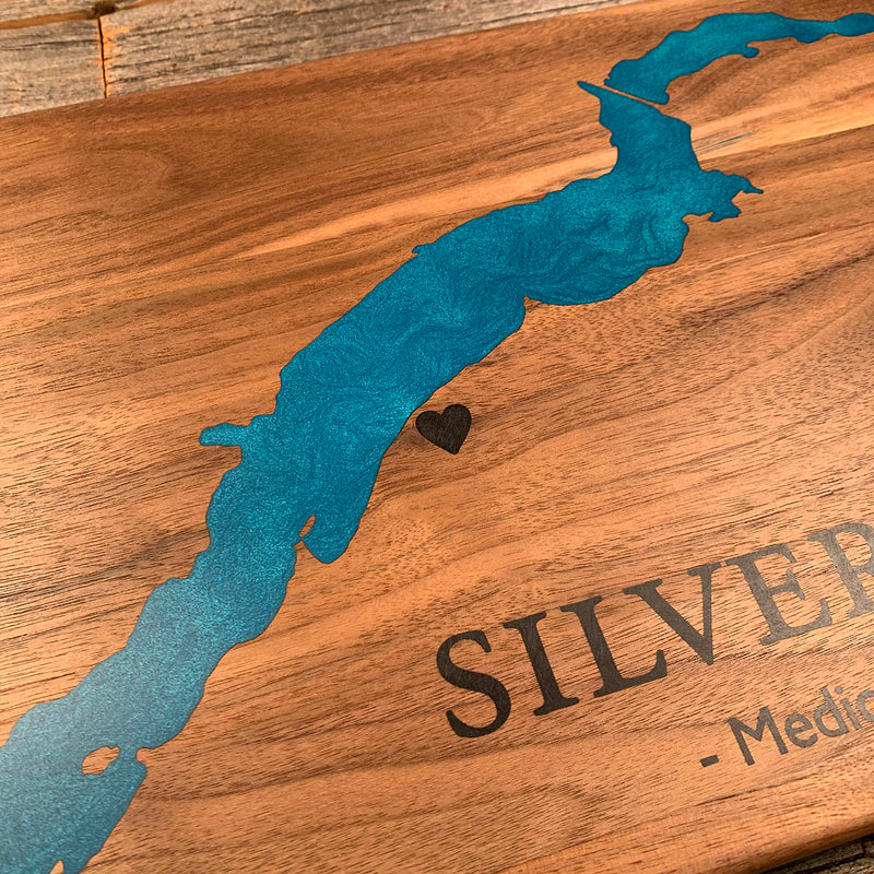
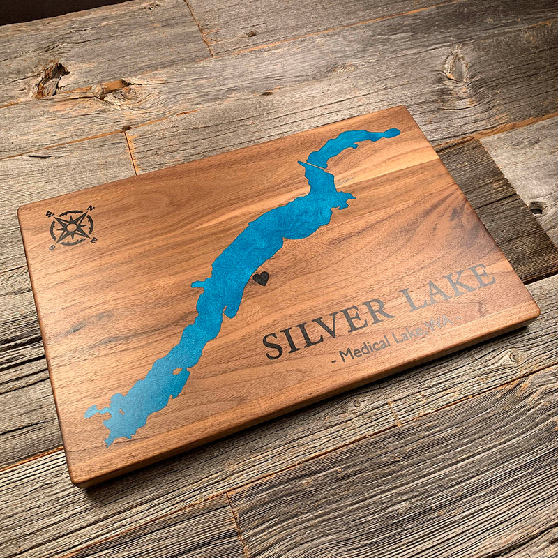
Not every board fights you. Two colours here, the water and the lettering, each dammed and poured on its own, and a shoreline clean enough to fill in a single pass. Silver Lake is one long basin with smooth edges and no islands to speak of. After a run of coastlines with several hundred tiny inlets in them, this one was a pleasure.
Marked on this piece
- Medical Lake
Waypoints close by
 Christina LakeBoundary Country, British Columbia, Canada
 Crawfish LakeRiverside, Washington, USA
 Beaver LakeBritish Columbia, Canada
 Flathead LakeMontana, USA
Also from our workshop
 Kodiak
From
Kodiak
From  Nomad
From
Nomad
From  Summit
From
Summit
From  Sanctuary
From
Sanctuary
From Where this is
47.55918, -117.6561