

3D Printed
Panorama
Columbia Valley, British Columbia, Canada
Also known as Invermere, Toby Creek, Columbia Valley
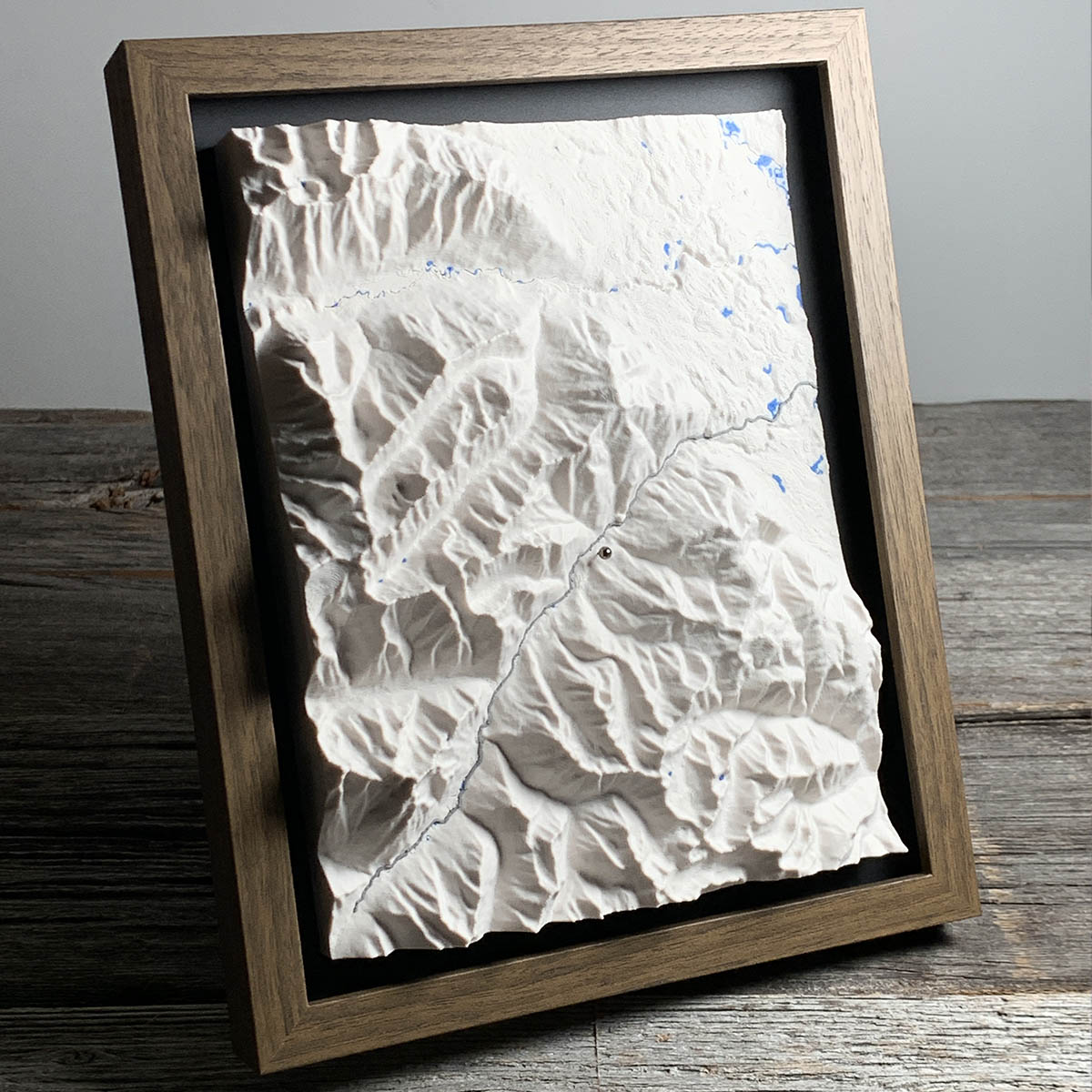
The Columbia River starts about 40 kilometres south of here and then runs the wrong way. It flows north for roughly 300 kilometres before it can turn around.
The reason is the valley it is stuck in. The Rocky Mountain Trench is a fault-cut, glacier-widened corridor between the Rockies on one side and the Purcells on the other, narrow enough here to be under 14 kilometres across, and it points north. The river has no choice until it reaches the Big Bend near the top of the Selkirks.
What it does in the meantime is spread out. Between Columbia Lake and Donald the river runs unregulated across 180 kilometres of marsh, ponds and side channels, the only stretch of the Columbia anywhere that no dam controls.
That is the blue at the top of this map. The white below it is the eastern edge of the Purcells, which are made of rock a little over a billion years old.
Details
- Feature
- Terrain
- Build
- 3D Printed
- Material
- Ivory White PLA
- Colour
- Marine Blue
- Size
- 10-3/4" x 8-3/4"
- Completed
- November 2025
How this one was made
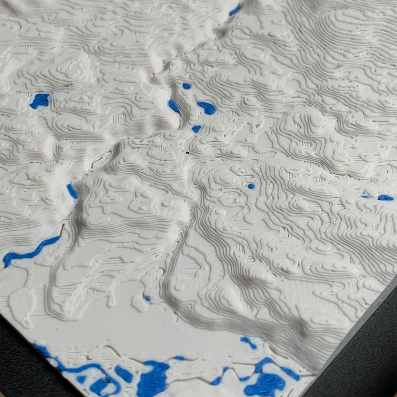
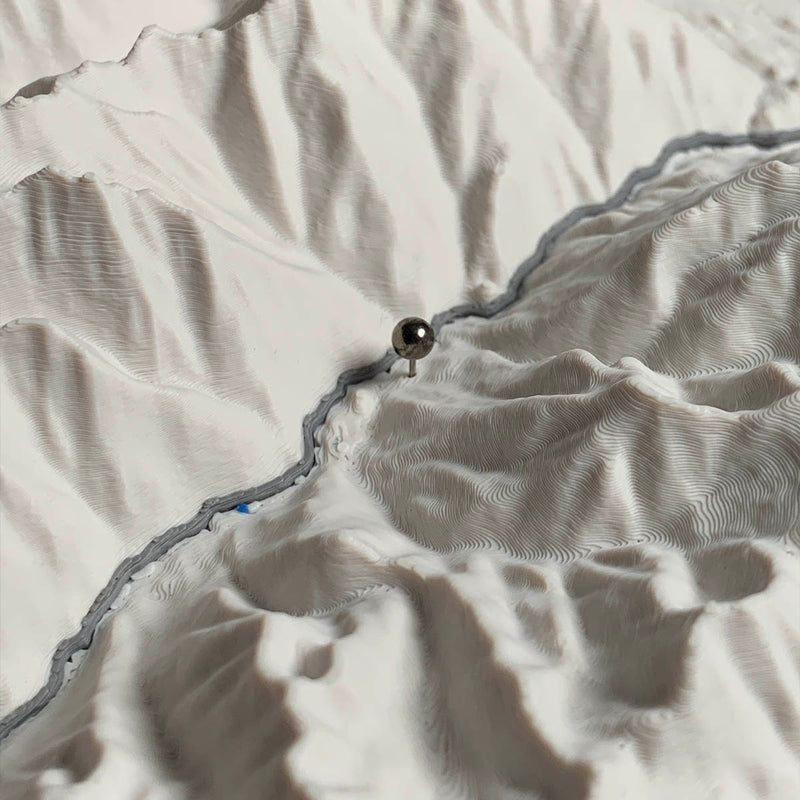
Exaggerated on this one, and it is the right call for a board that has to hold two different landscapes at once. The bottom two thirds is Purcell mountain country with deep creek valleys. The top right is the floor of the Rocky Mountain Trench, flat enough to be almost featureless at true scale. Exaggeration is what keeps the wetland channels legible up there without the peaks below turning into spikes.
Waypoints close by
 Christina LakeBoundary Country, British Columbia, Canada
 Beaver LakeBritish Columbia, Canada
 Flathead LakeMontana, USA
 Crawfish LakeRiverside, Washington, USA
Also from our workshop
 Nomad
From
Nomad
From  Kodiak
From
Kodiak
From  Howl
From
Howl
From  Cascade
From
Cascade
From Where this is
50.458297114, -116.238471547