

Epoxy
Osoyoos Lake
South Okanagan, British Columbia, Canada
Also known as Lake Osoyoos, Oroville, South Okanagan
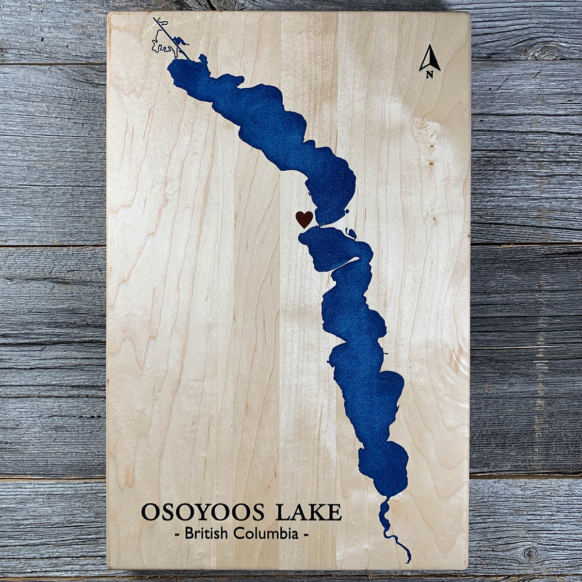
How high Osoyoos Lake sits is decided in Washington State, at a dam on the Okanogan River about three kilometres below the outlet.
The lake crosses the border, so it falls under the Boundary Waters Treaty of 1909. The International Joint Commission sets the permitted levels, a board of six with three members from each country oversees them, and Washington's Department of Ecology owns the dam. The gates are worked by an irrigation district on contract.
The margins are narrow. Through a normal summer the lake is held inside a one foot range with a ceiling of 912 feet above sea level, measured on an American survey datum. In a drought year the range widens to two feet.
Zosel Dam began as a log pond, built in 1927 by a lumber company and replaced in 1987 with money from both the province and the state. The board still meets in public each autumn, alternating between Osoyoos and Oroville.
Details
- Feature
- Lake
- Build
- Epoxy
- Material
- Solid Maple
- Colour
- Ocean Blue
- Size
- 10-1/2" x 16"
- Completed
- February 2025
How this one was made
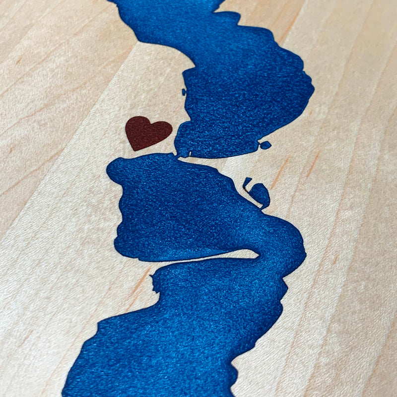
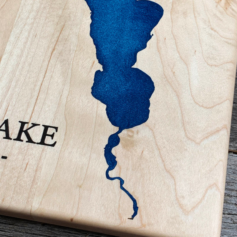
Three colours on maple, which is about as much staining risk as we take on. Blue for the water, black for the type and the north arrow, and a red heart smaller than a fingernail that needs a dam of its own. Maple is the palest wood we work with, so the seal has to hold across everything before any of it goes down, and with a sixteenth to an eighth of engraving there is nothing to sand back if it does not. The shoreline is fine work the whole way down, and the river channels off both ends thin out to almost nothing.
Waypoints close by
 Crawfish LakeRiverside, Washington, USA
 Beaver LakeBritish Columbia, Canada
 Christina LakeBoundary Country, British Columbia, Canada
 Kawkawa LakeHope, British Columbia, Canada
Also from our workshop
 Moose Tracks
From
Moose Tracks
From  Howl
From
Howl
From  Kodiak
From
Kodiak
From  Nomad
From
Nomad
From Where this is
49.0112251, -119.4467765