

Epoxy
Lake St Clair
St. Clair Shores, Michigan, USA
Also known as Lac Sainte-Claire, Sixth Great Lake, St. Clair Shores
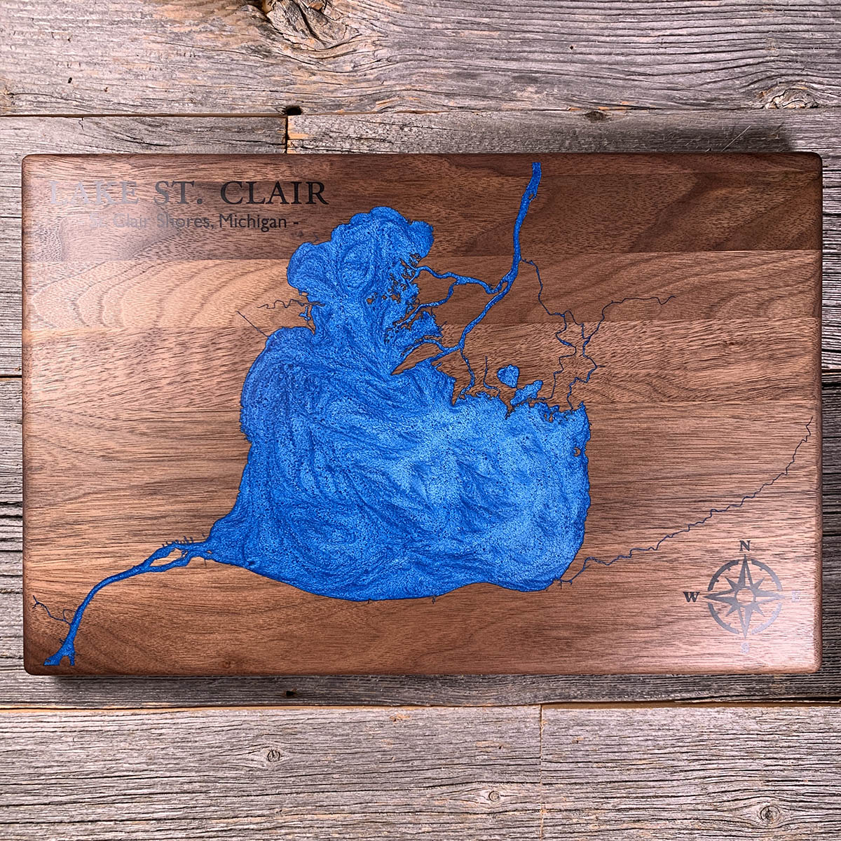
Lake St. Clair averages about 11 feet deep. The shipping channel cut across it is 27.5 feet, deeper than any natural point in the lake.
Everything moving between Lake Huron and Lake Erie has to cross here, and the lake is not deep enough to let it. So the Army Corps keeps about fourteen miles of trench open across the middle, and roughly three thousand freighters a year run through it.
The water itself does not stay long. Lake St. Clair flushes in seven to ten days. Lake Superior takes about 197 years.
At the north end the St. Clair River comes in through a delta of splayed channels, generally reckoned the largest freshwater delta in the world. It covers about 140 square miles and is mostly too marshy to build on. Walpole Island First Nation is on it.
Details
- Feature
- Lake
- Build
- Epoxy
- Material
- Solid Walnut
- Colour
- Ocean Blue
- Size
- 10-1/2" x 16"
- Completed
- March 2025
How this one was made
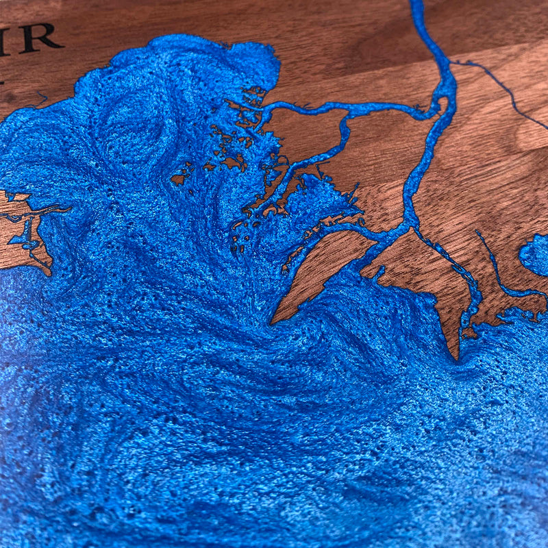
Not wall to wall, so the dam follows the waterline about half an inch out and the flood runs along the shore. The main body of the lake is one big open shape and gave no trouble. The delta at the top is another matter: the river comes in through a spray of narrow channels and small islands, and that corner holds more fine detail than most whole boards. There is also a network of hairline channels running east that had to fill without anything bridging across them.
Waypoints close by
 Great LakesOntario, Canada
 Chiblow LakeIron Bridge, Ontario, Canada
 Kahshe LakeGravenhurst, Ontario, Canada
 Commanda LakeOntario, Canada
Also from our workshop
 Howl
From
Howl
From  Kodiak
From
Kodiak
From  Nomad
From
Nomad
From  Summit
From
Summit
From Where this is
42.4365441, -82.68789