

Epoxy
Lac des Îles
Meadow Lake, Saskatchewan, Canada
Also known as Lac des Isles, Goodsoil, Meadow Lake
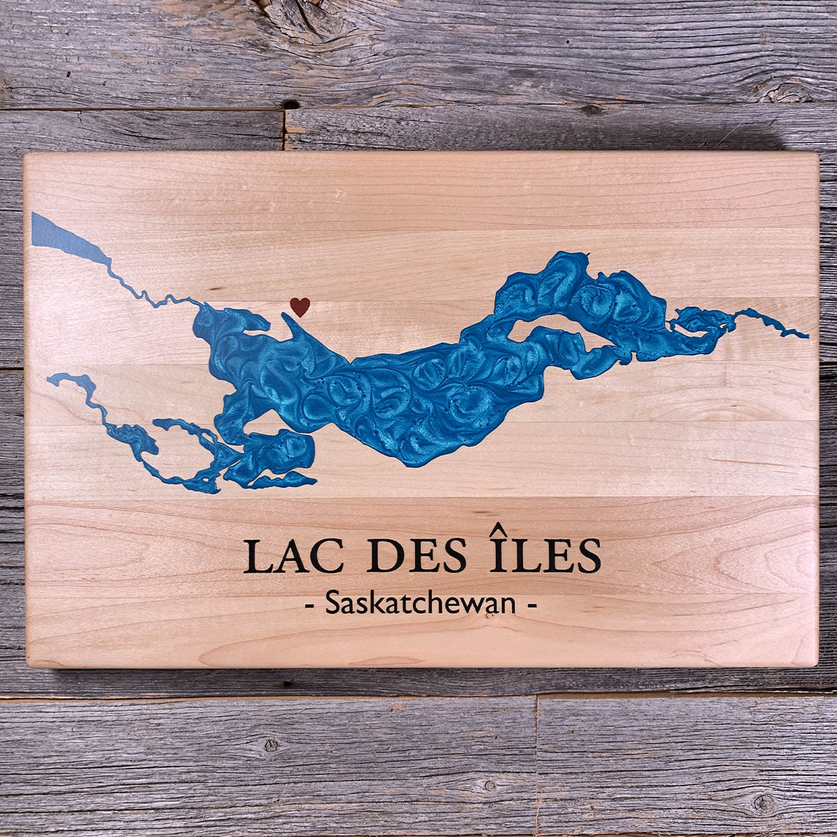
Lac des Îles is about 21 kilometres long and has 120 kilometres of shoreline, most of it inside Meadow Lake Provincial Park.
The Cold River comes in at the west end. The Waterhen leaves at the east and runs on to the Beaver River, then to Lac Île-à-la-Crosse and the Churchill. Big Island Lake Cree Nation holds part of the southwest shore.
It drops to about 40 metres at its deepest, and averages about 12. There are four boat launches and a handful of campgrounds. Misikitew Island sits in the middle of it.
Details
- Feature
- Lake
- Build
- Epoxy
- Material
- Solid Maple
- Colour
- Caribbean Blue
- Size
- 10-1/2" x 16"
- Completed
- March 2025
How this one was made
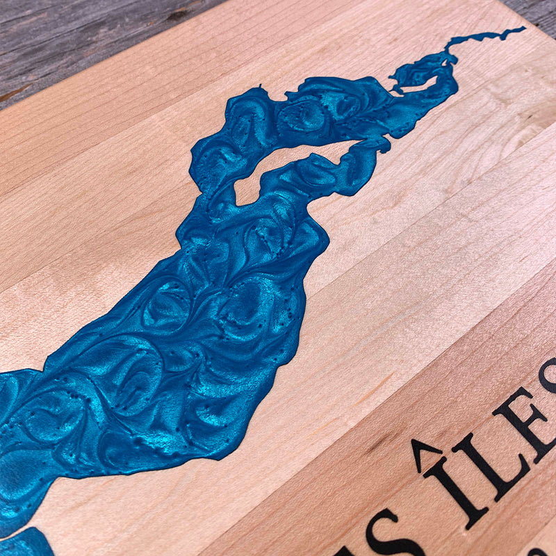
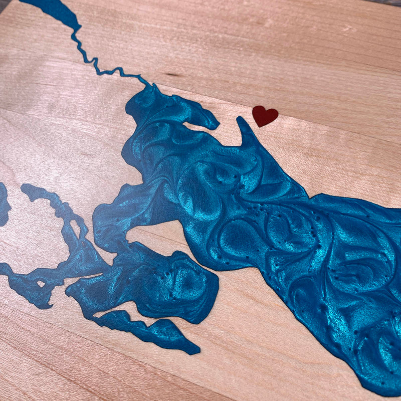
Not wall to wall, so the dam follows the waterline about half an inch out and the flood runs along the shore. That is a long edge here: bays folding back into bays, an island sitting inside the water, and the river channels at both ends thinning down to nothing. Maple has the least sanding margin of anything we use, so the seal has to be right before the blue goes down. The heart is a separate colour, small and off on its own, and takes a dam to itself.
Waypoints close by
 Hubbles LakeParkland County, Alberta, Canada
 Flathead LakeMontana, USA
 Christina LakeBoundary Country, British Columbia, Canada
 Beaver LakeBritish Columbia, Canada
Also from our workshop
 Moose Tracks
From
Moose Tracks
From  Howl
From
Howl
From  Kodiak
From
Kodiak
From  Nomad
From
Nomad
From Where this is
54.430892, -109.423895